MyTopo
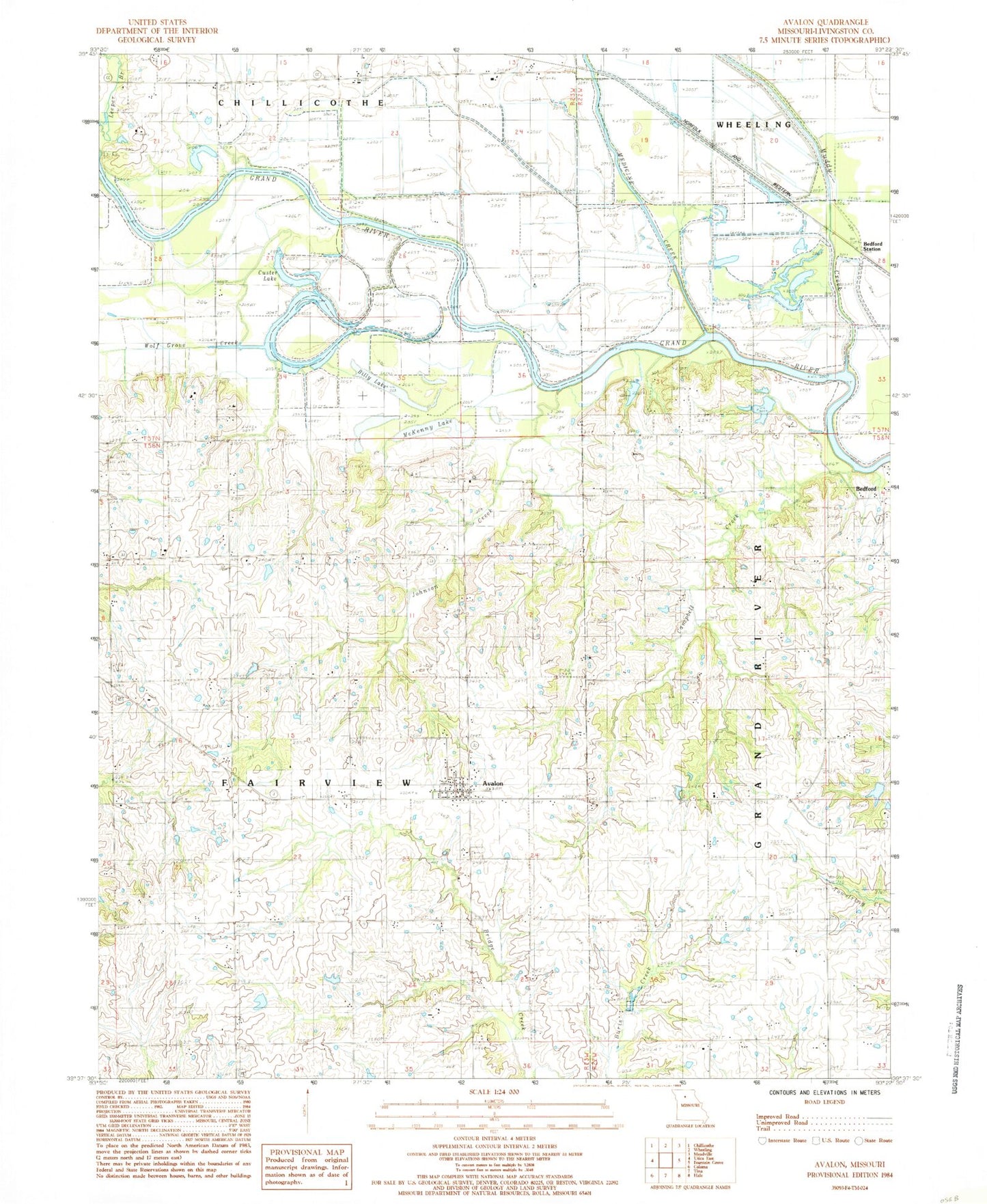
Classic USGS Avalon Missouri 7.5'x7.5' Topo Map
Couldn't load pickup availability
Historical USGS topographic quad map of Avalon in the state of Missouri. Map scale may vary for some years, but is generally around 1:24,000. Print size is approximately 24" x 27"
This quadrangle is in the following counties: Livingston.
The map contains contour lines, roads, rivers, towns, and lakes. Printed on high-quality waterproof paper with UV fade-resistant inks, and shipped rolled.
Contains the following named places: Arkadelphia Cemetery, Asper School, Avalon, Avalon Cemetery, Avalon Census Designated Place, Bedford Station, Billy Lake, Burnside Cemetery, Campbell Creek, Cap School, Cavendish, Center School, Cor Campbell School, Corner Campbell School, Custer Lake, Fairland School, Fish Lake, Green School, Independence School, Johnson Creek, Lowland School, McKenny Lake, Medicine Creek, Muddy Creek, Progressive School, Shields Lake Dam, Township of Fairview