MyTopo
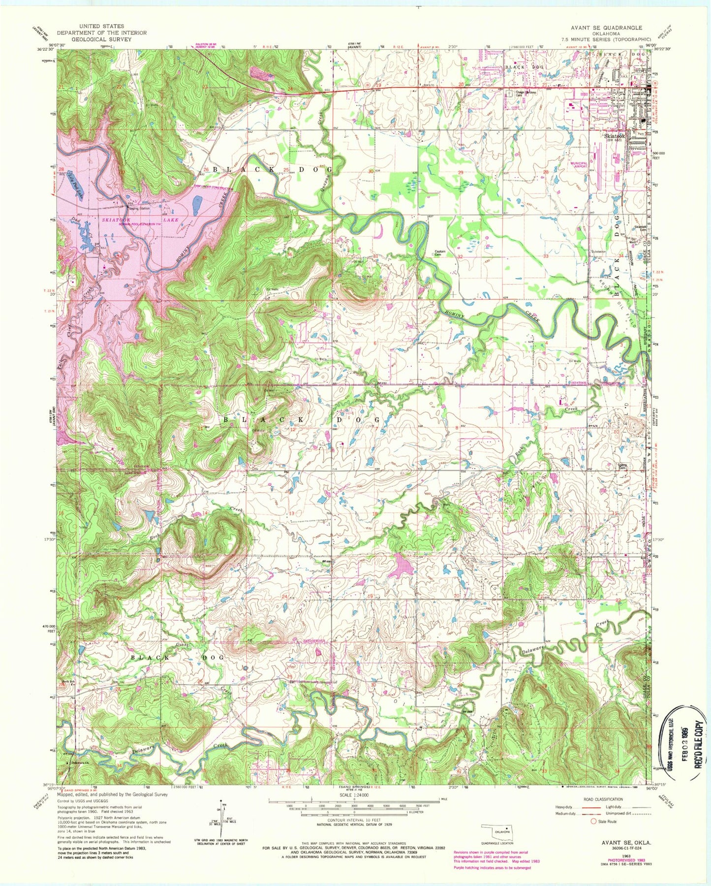
Classic USGS Avant SE Oklahoma 7.5'x7.5' Topo Map
Couldn't load pickup availability
Historical USGS topographic quad map of Avant SE in the state of Oklahoma. Map scale may vary for some years, but is generally around 1:24,000. Print size is approximately 24" x 27"
This quadrangle is in the following counties: Osage, Tulsa.
The map contains contour lines, roads, rivers, towns, and lakes. Printed on high-quality waterproof paper with UV fade-resistant inks, and shipped rolled.
Contains the following named places: Ascension Church, Captain Cemetery, City of Skiatook, Country Corner Fire Department, Dad Creek, Delaware Church, First Baptist Church, Goose Creek, Lakeview Southern Baptist Church, Lily Pad Lake, Marrs Elementary School, Newman Middle School, Oknoname 113001 Dam, Oknoname 113001 Reservoir, Osage Gardens Cemetery, Quapaw Creek, Rock Creek, Rock Fire Department Station 1, Rock School, Skiatook, Skiatook Cemetery, Skiatook Fire Department Station 2, Skiatook First Assembly of God, Skiatook High School, Skiatook Intermediate Elementary School, Skiatook Municipal Airport, Southeast Osage Division, Sperry Rest Haven Cemetery, Tall Chief Creek, Turkey Creek, United Methodist Church, Wilson Ranch Airport, Zink Fire Department, ZIP Code: 74073