MyTopo
Classic USGS Avena California 7.5'x7.5' Topo Map
Couldn't load pickup availability
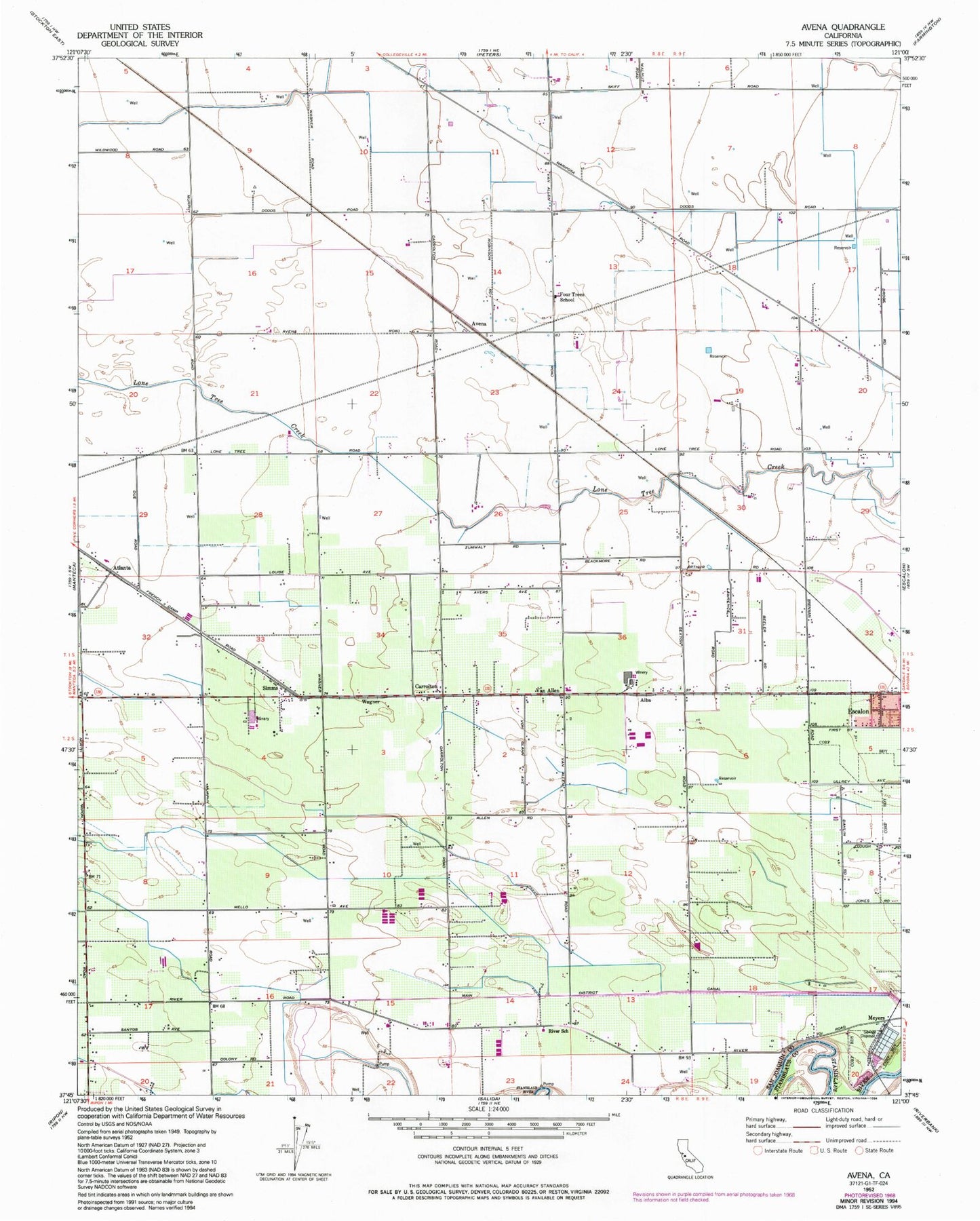
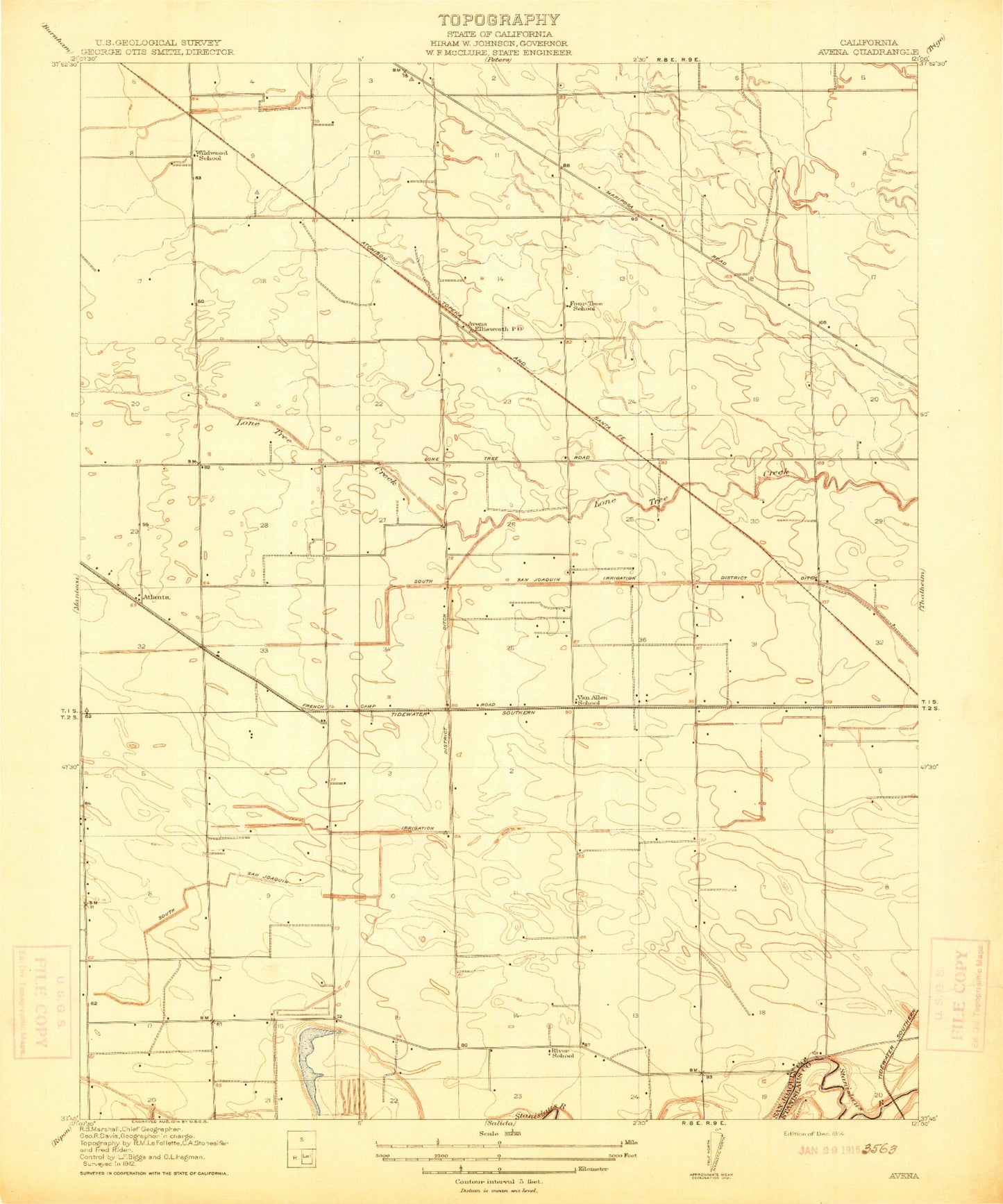
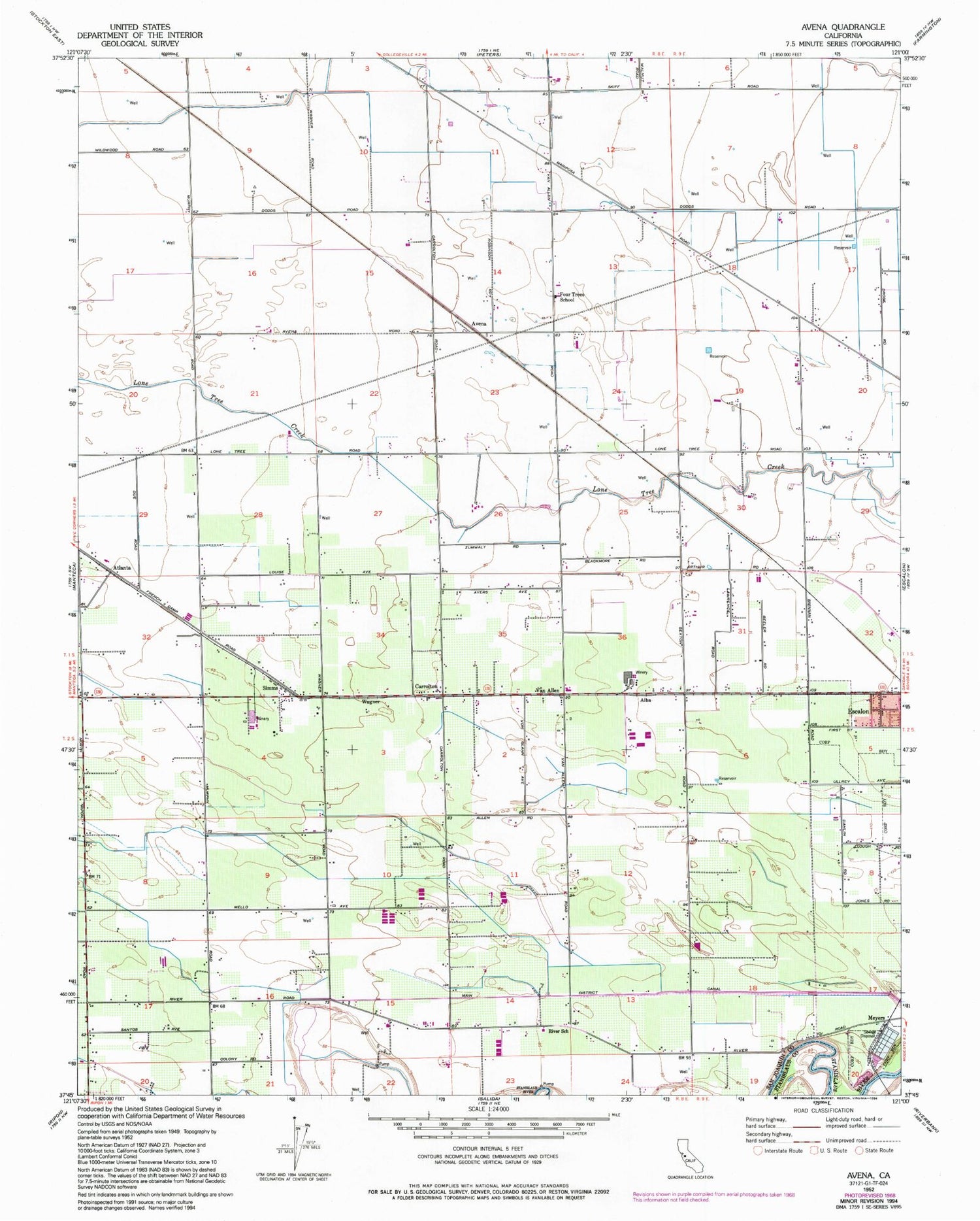
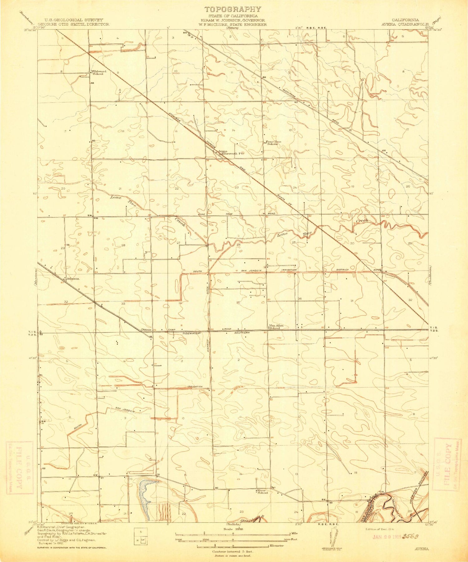
Historical USGS topographic quad map of Avena in the state of California. Map scale may vary for some years, but is generally around 1:24,000. Print size is approximately 24" x 27"
This quadrangle is in the following counties: San Joaquin, Stanislaus.
The map contains contour lines, roads, rivers, towns, and lakes. Printed on high-quality waterproof paper with UV fade-resistant inks, and shipped rolled.
Contains the following named places: Alba, Atlanta, Avena, Bartelink Dairy, Boscha Lake, C And G Farms, Carrolton, Colony Oak Elementary School, Creekside Dairy, Doornenbal Dairy, El Portal Middle School, Escalon Consolidated Fire Protection District Station 2, Escalon Division, Faria Dairy, Four Trees School, G and H Dairy, Gomes Dairy, Main District Canal, Red Rock Dairy, Ripon Consolidated Fire District Station 2, Ripon Division, River School, Saint John's Catholic Cemetery, Simms, Van Allen, Van Allen Elementary School, Vander Schaff Dairy, Vander Schaff Dairy Number 2, Wagner, Wagner Dairy, Weeda Dairy, Wildwood School, ZIP Code: 95320