MyTopo
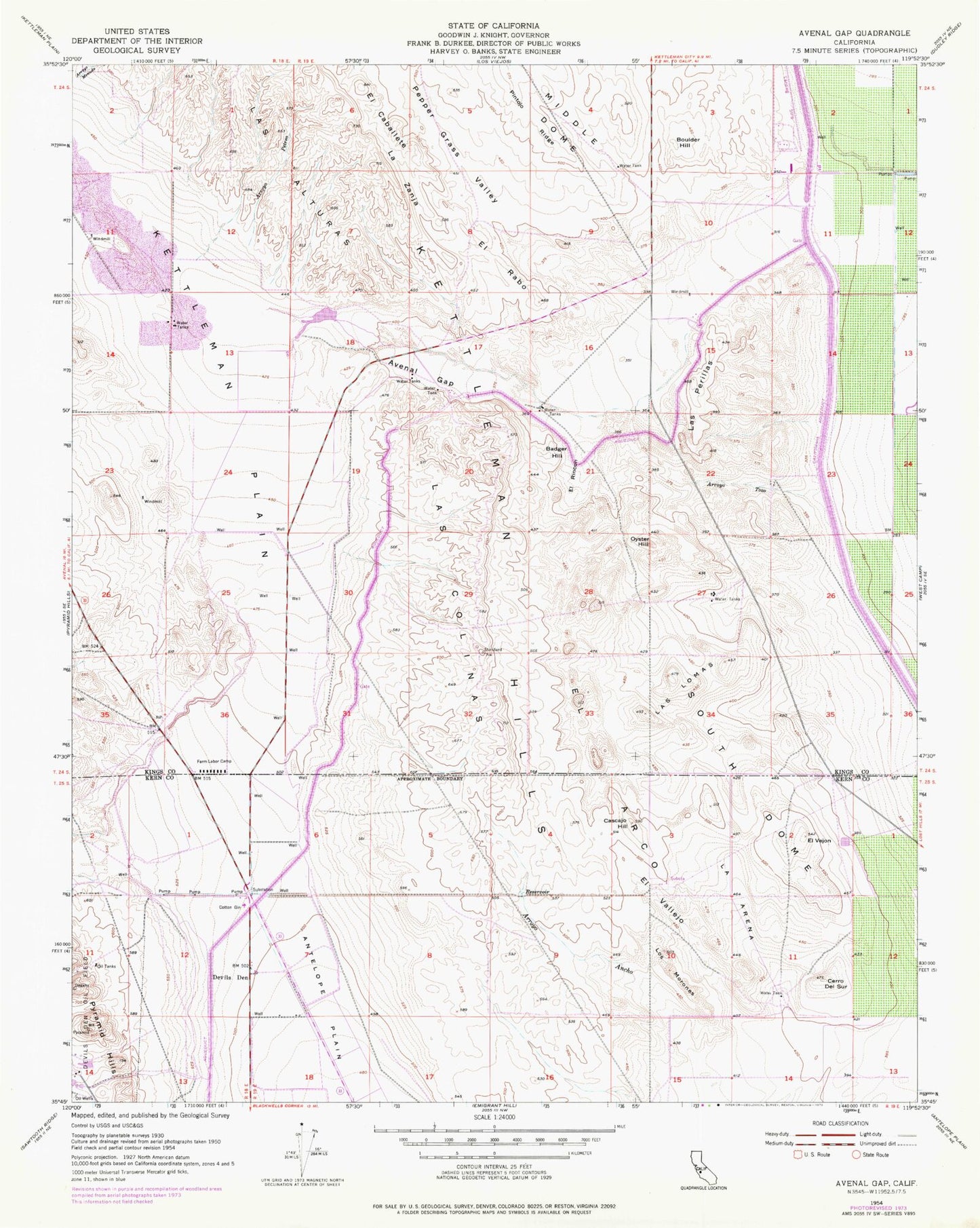
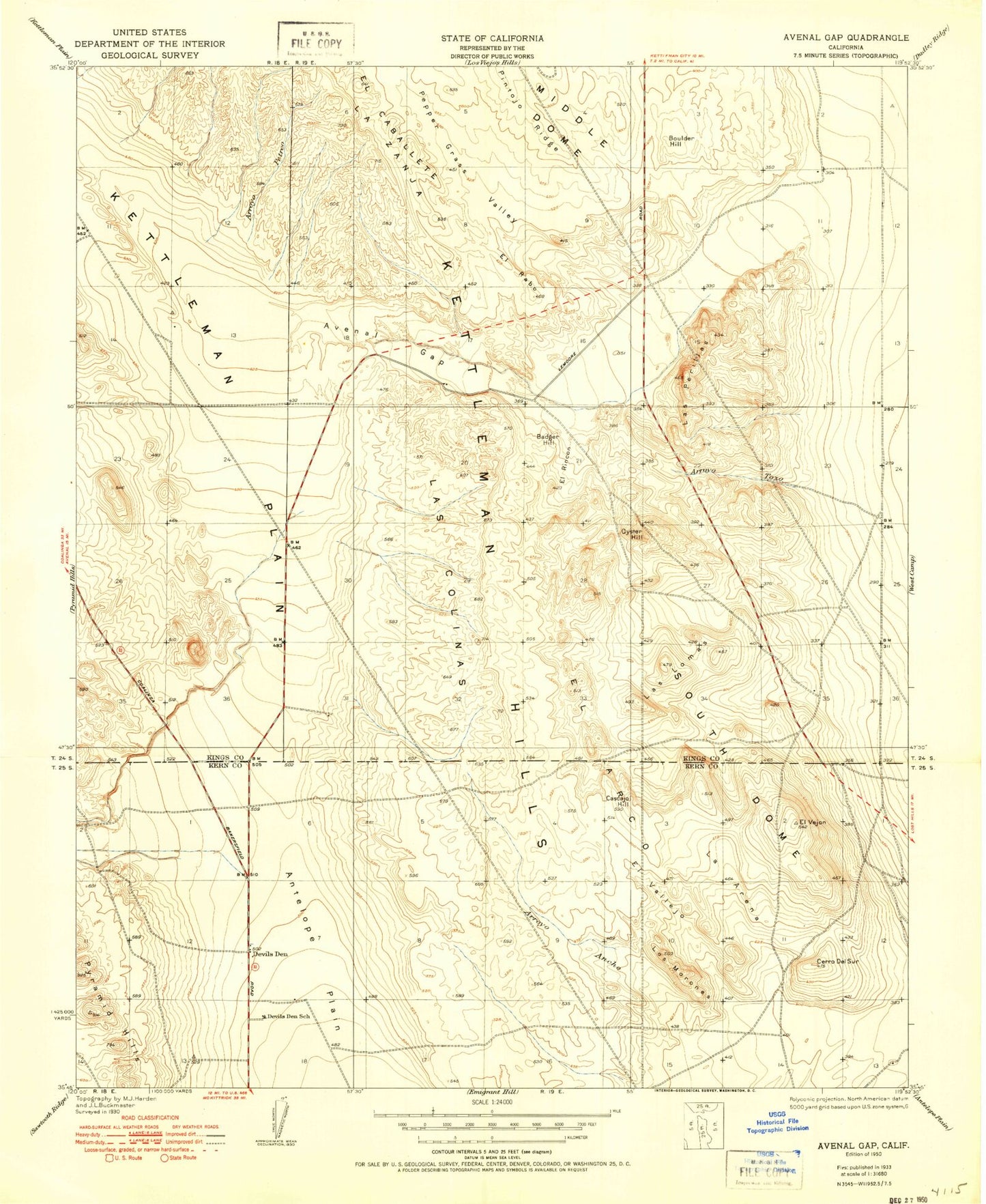
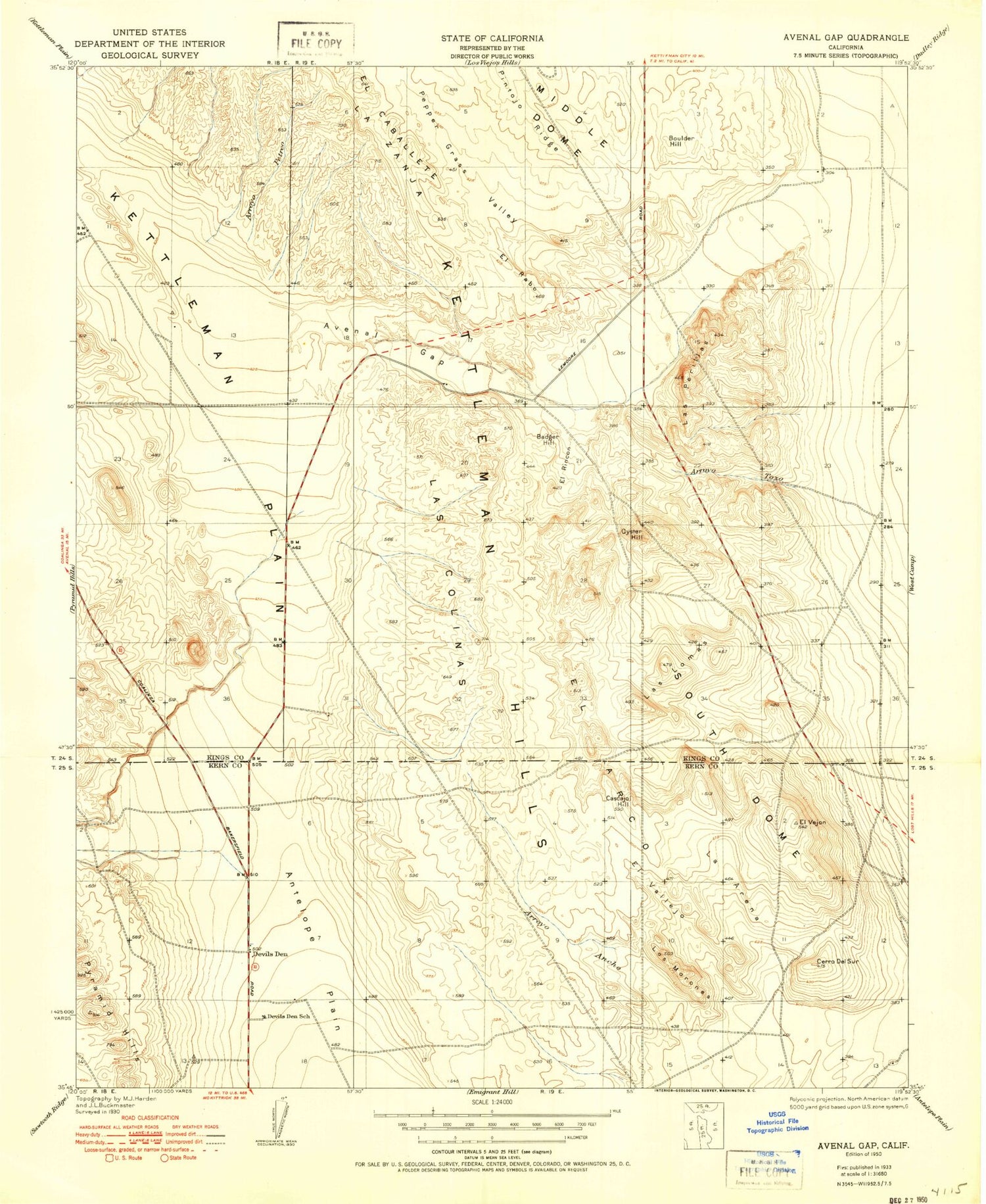
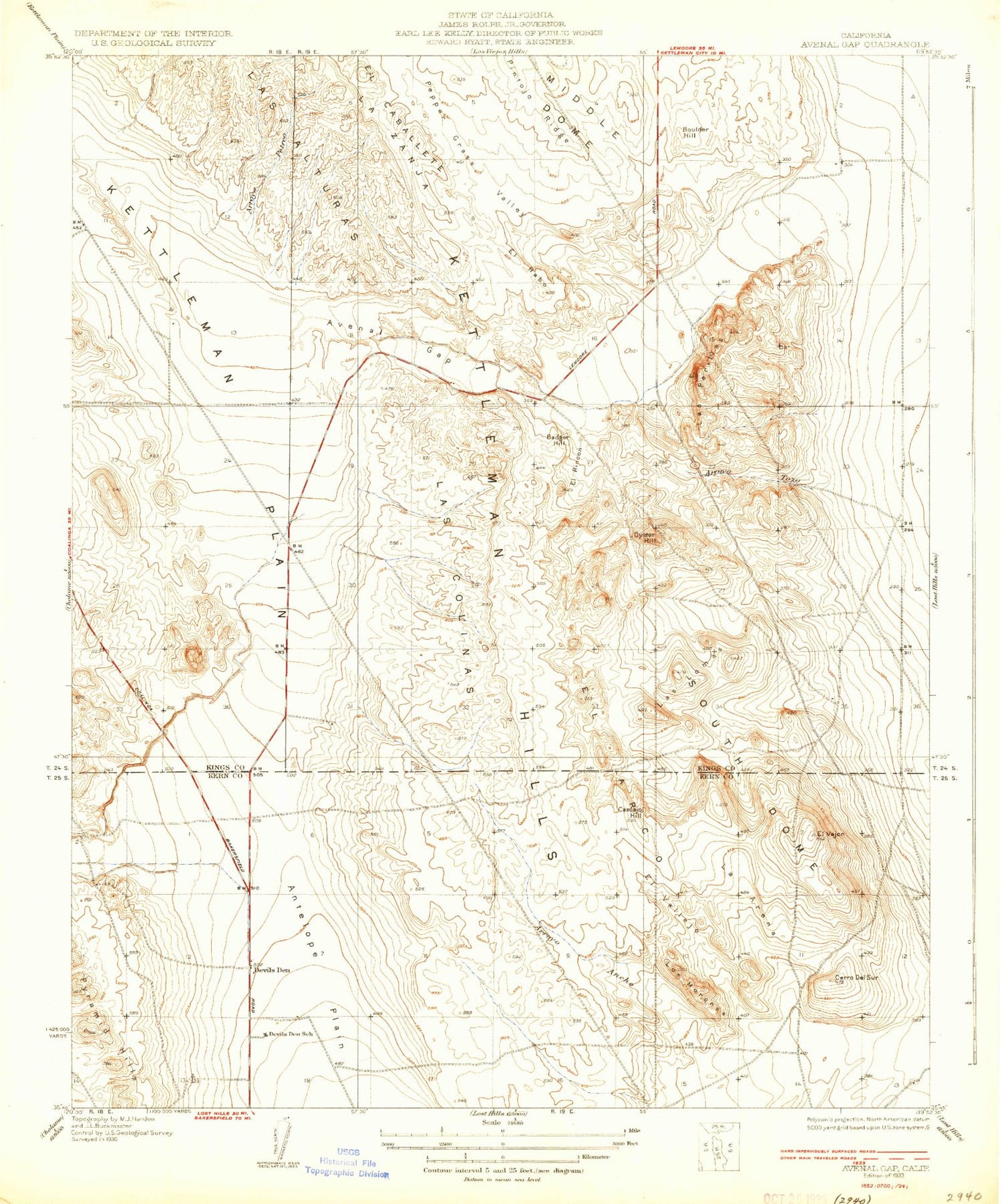
Classic USGS Avenal Gap California 7.5'x7.5' Topo Map
Couldn't load pickup availability
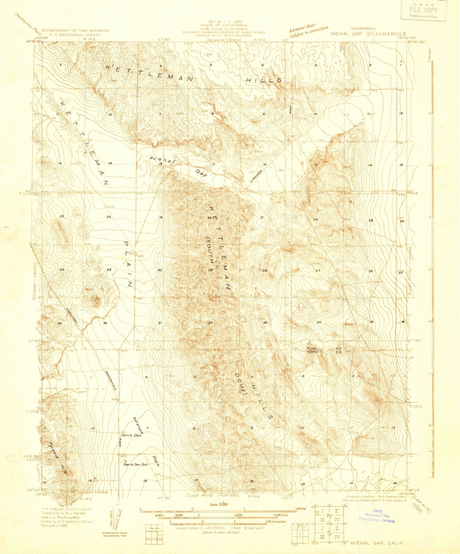
Historical USGS topographic quad map of Avenal Gap in the state of California. Map scale may vary for some years, but is generally around 1:24,000. Print size is approximately 24" x 27"
This quadrangle is in the following counties: Kern, Kings.
The map contains contour lines, roads, rivers, towns, and lakes. Printed on high-quality waterproof paper with UV fade-resistant inks, and shipped rolled.
Contains the following named places: Alamo Solo Spring, Arroyo Ancho, Arroyo Petreo, Arroyo Tozo, Avenal Gap, Badger Hill, Boulder Hill, Cascajo Hill, Cerro del Sur, Devils Den, Devils Den Post Office, Devils Den School, El Arco, El Rabo, El Rincon, El Vallejo, El Vejon, Governor Edmund G Brown Coastal Branch California Aqueduct, La Arena, La Zanja, Las Colinas, Las Lomas, Las Perillas, Las Perillas Pumping Plant, Los Morones, Oyster Hill, Pepper Grass Valley, Pintojo Ridge, South Dome