MyTopo
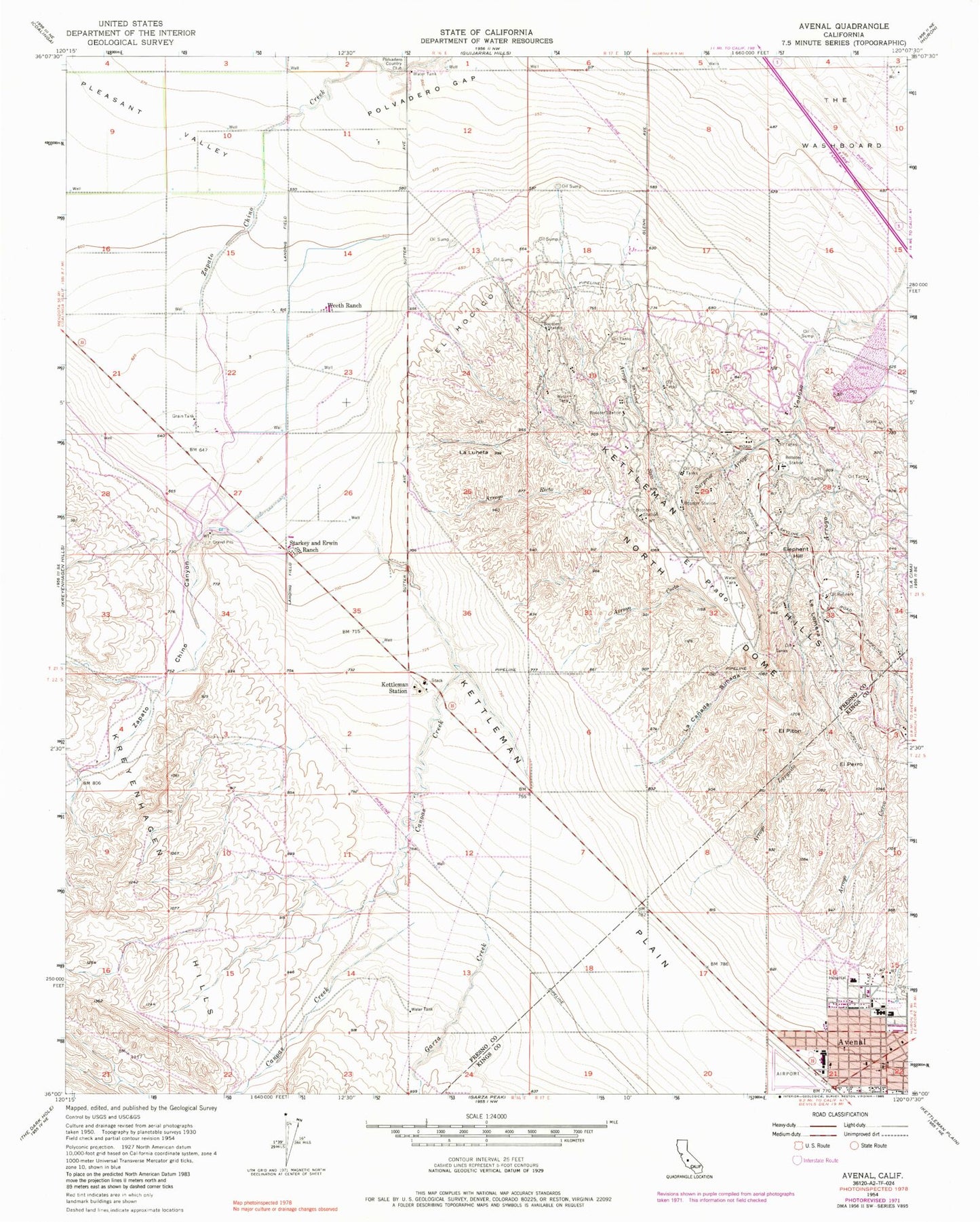
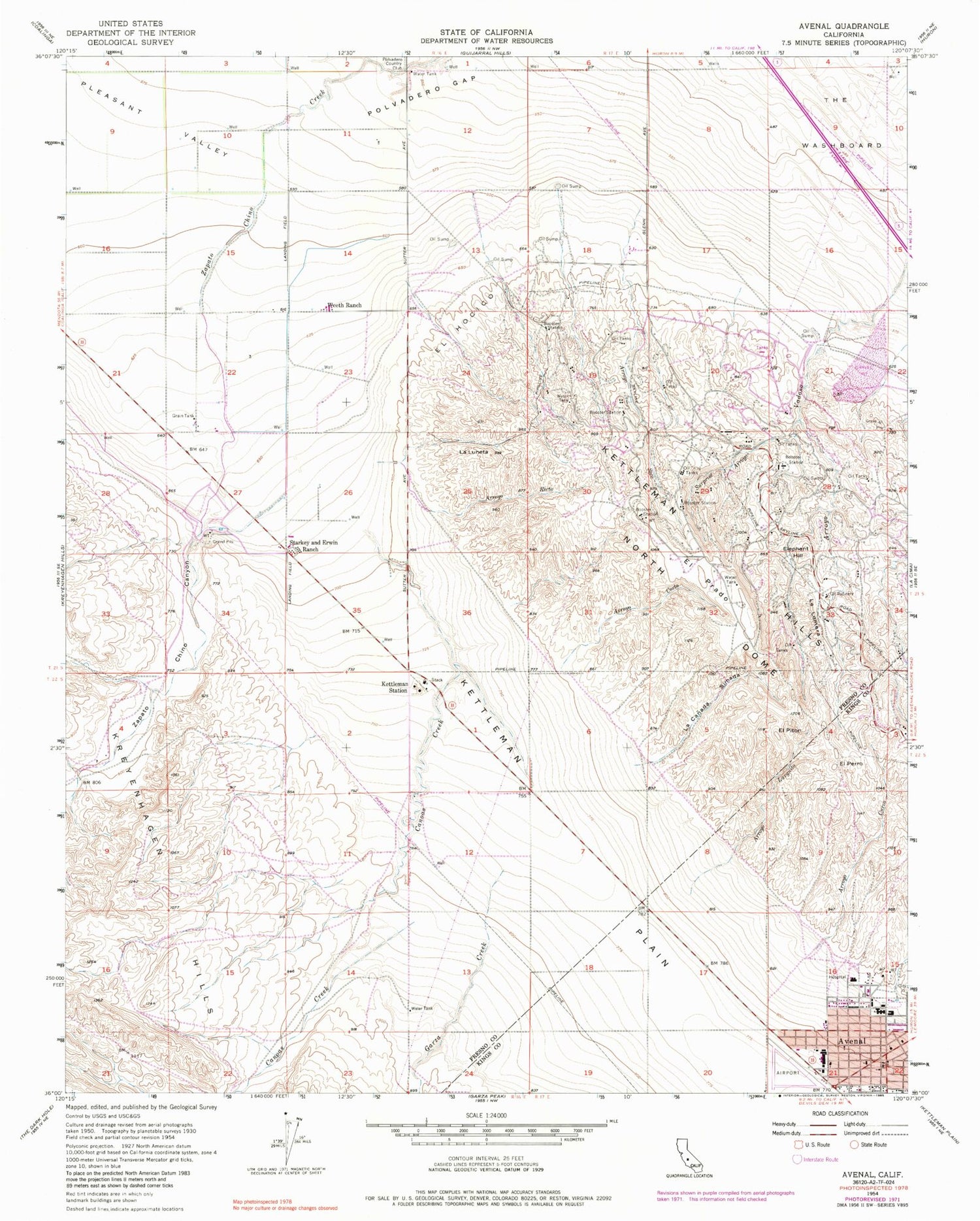
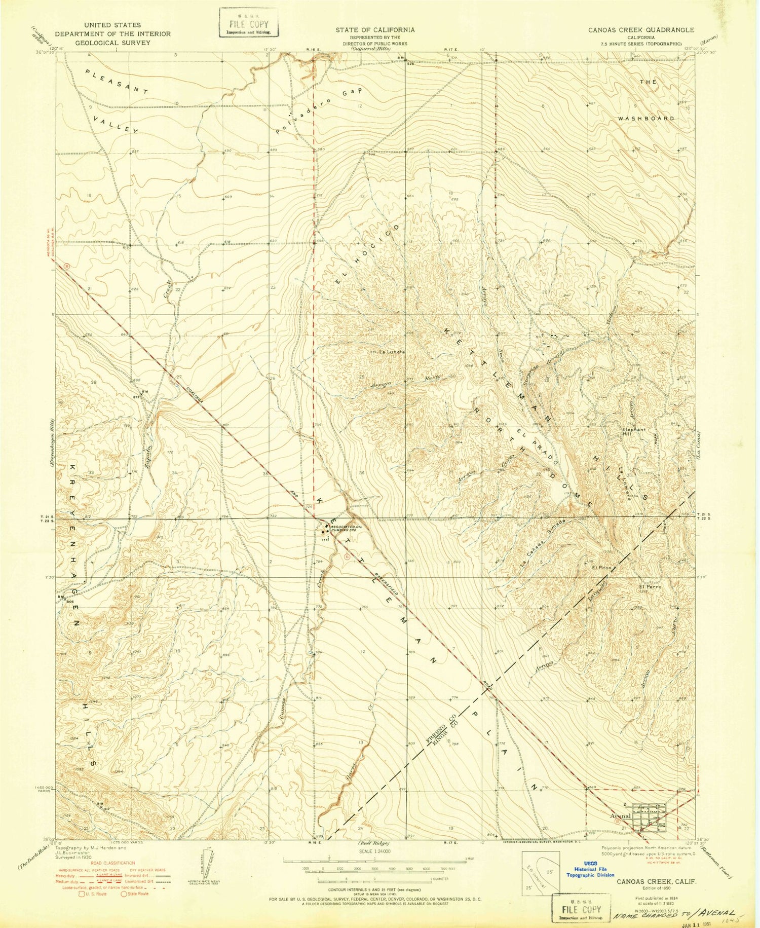
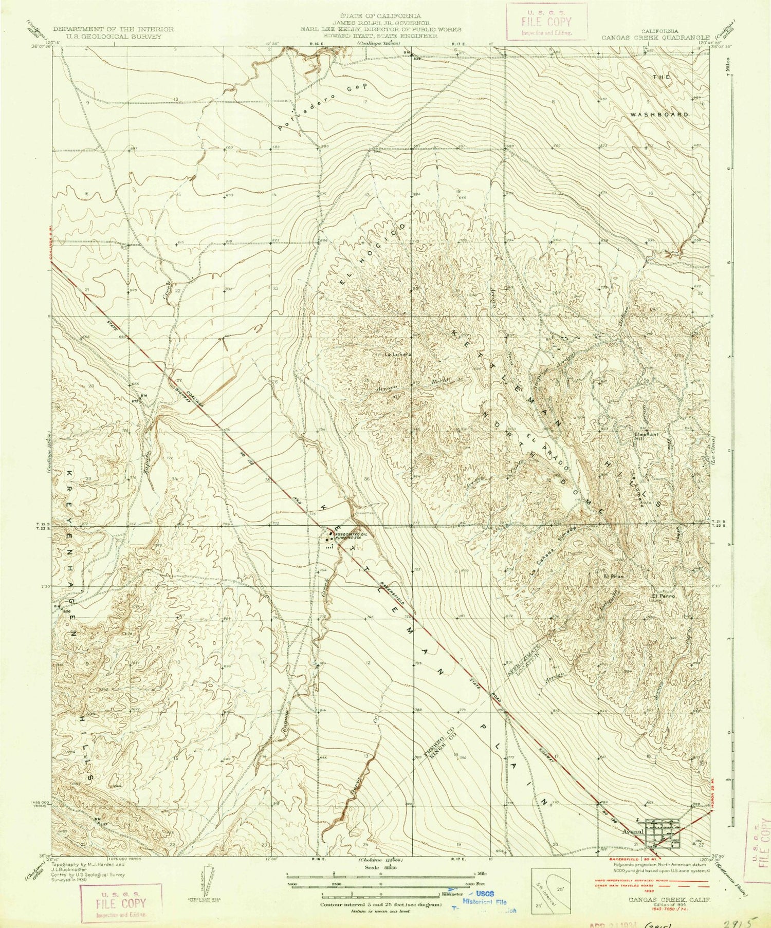
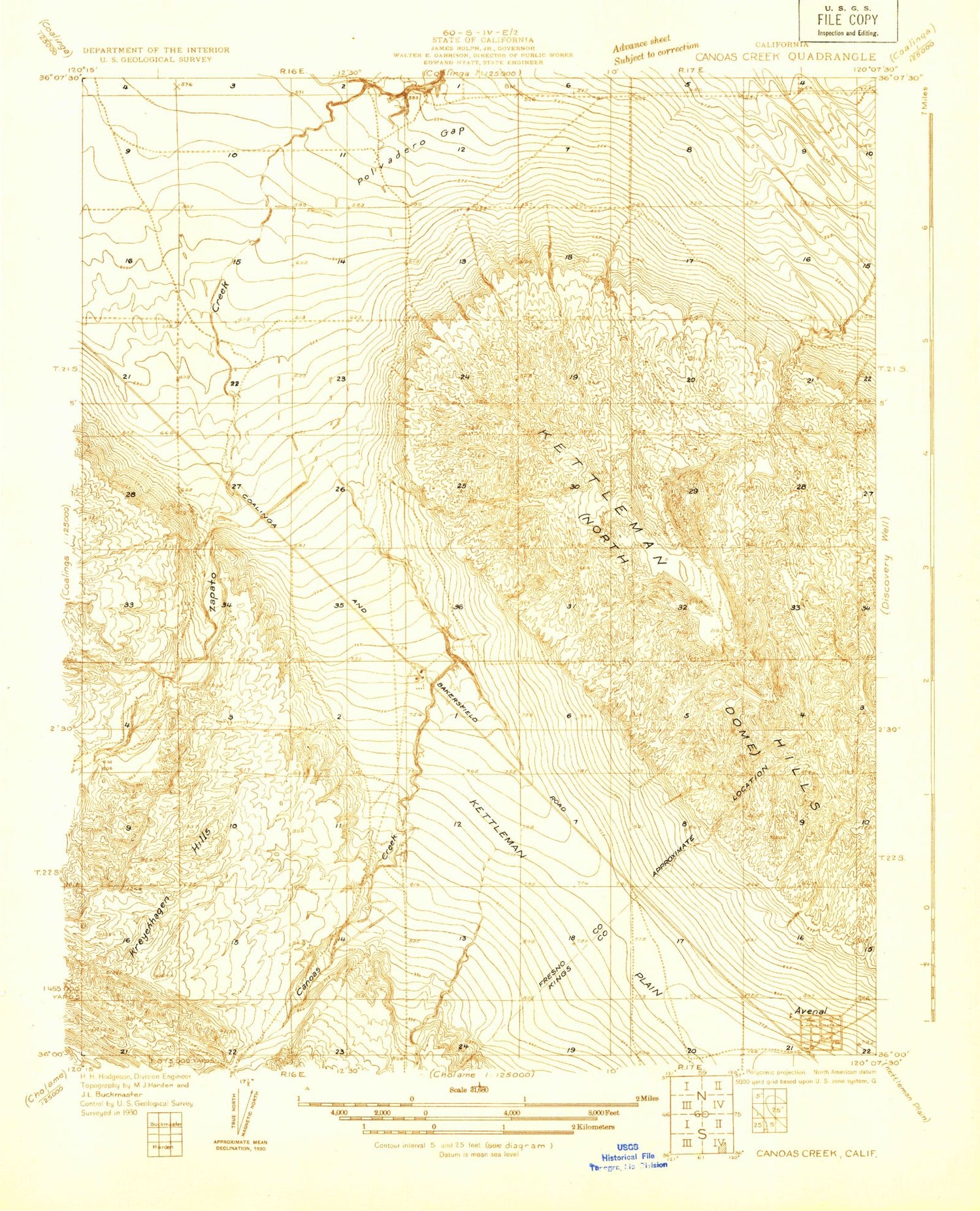
Classic USGS Avenal California 7.5'x7.5' Topo Map
Couldn't load pickup availability
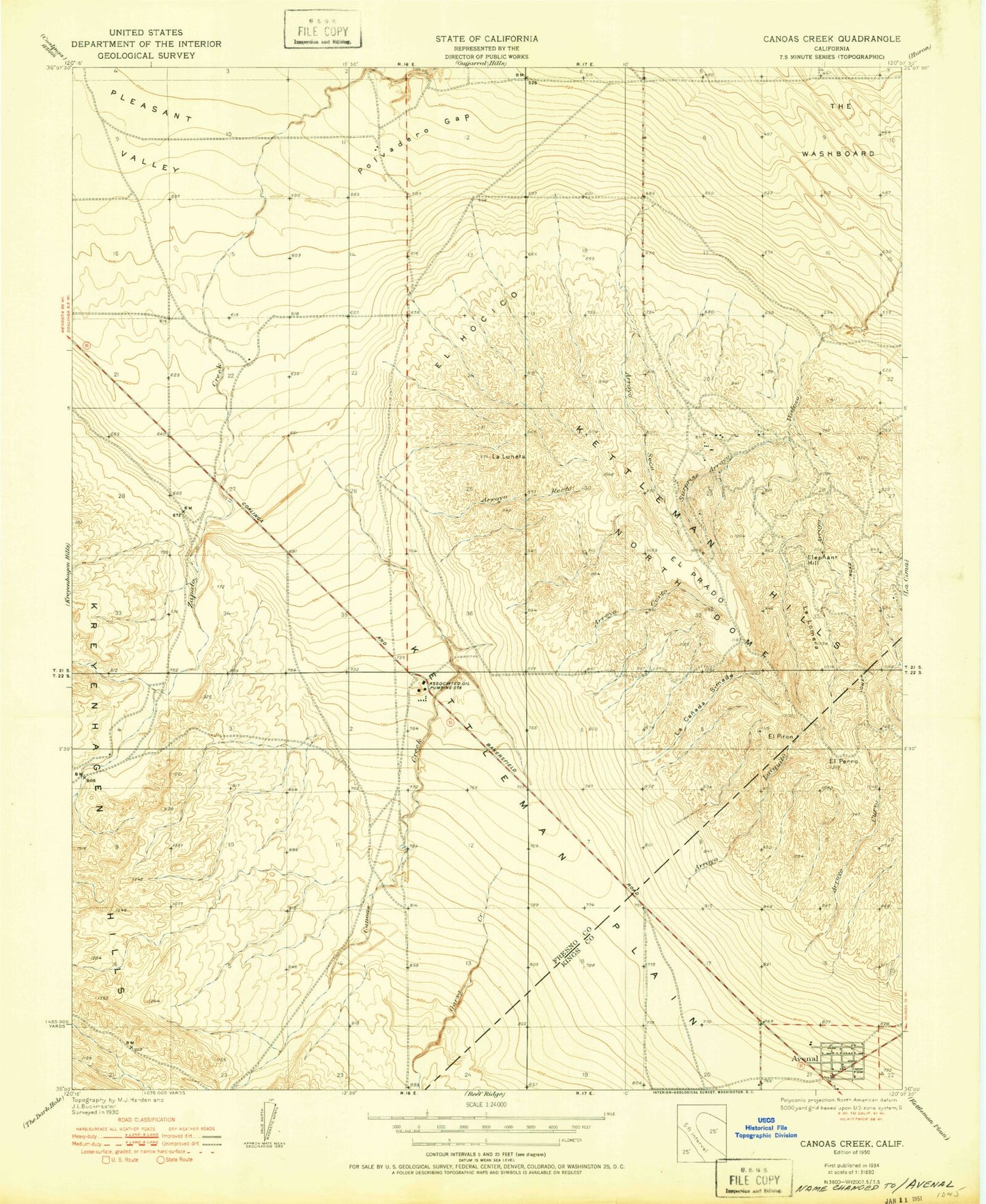
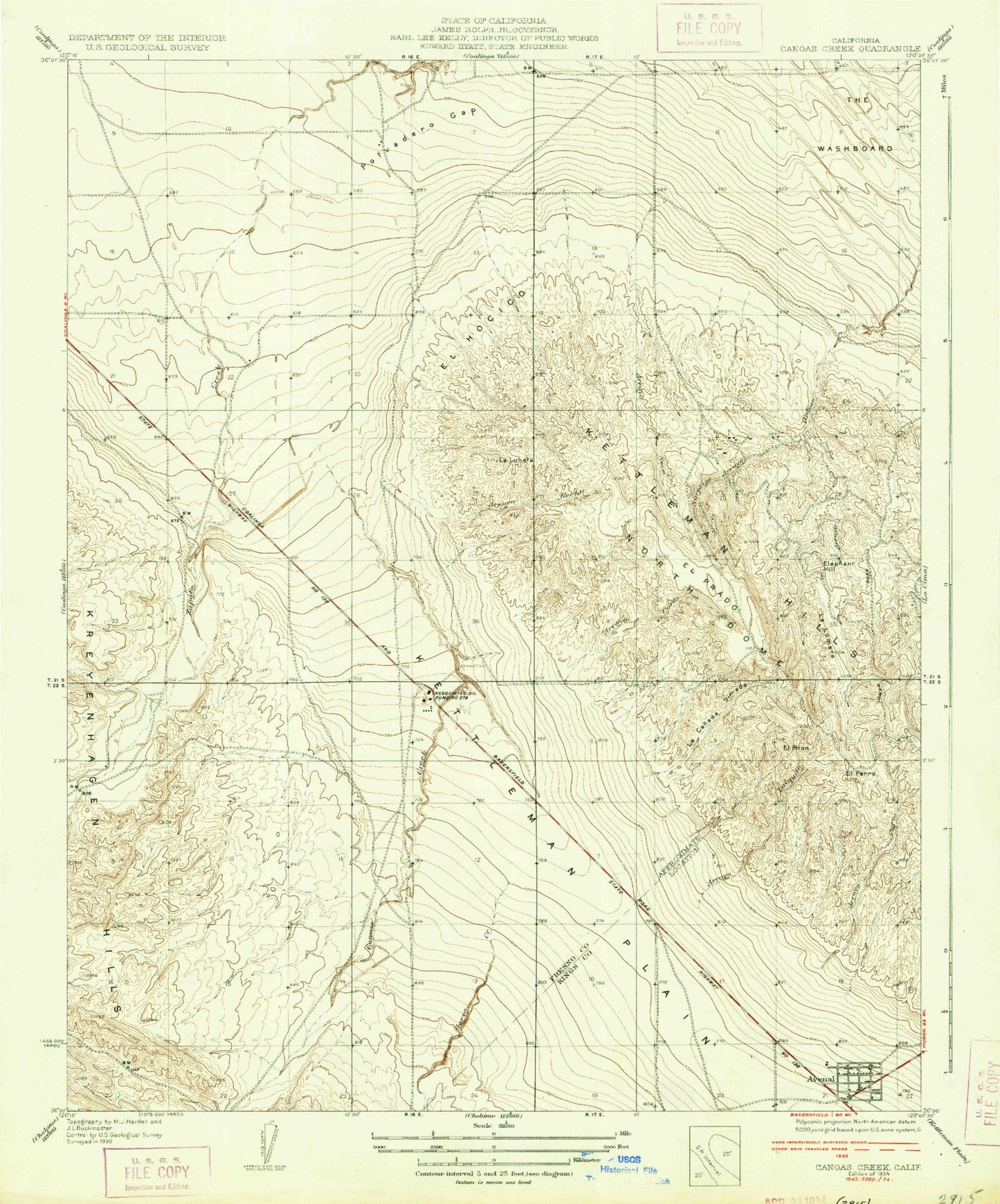
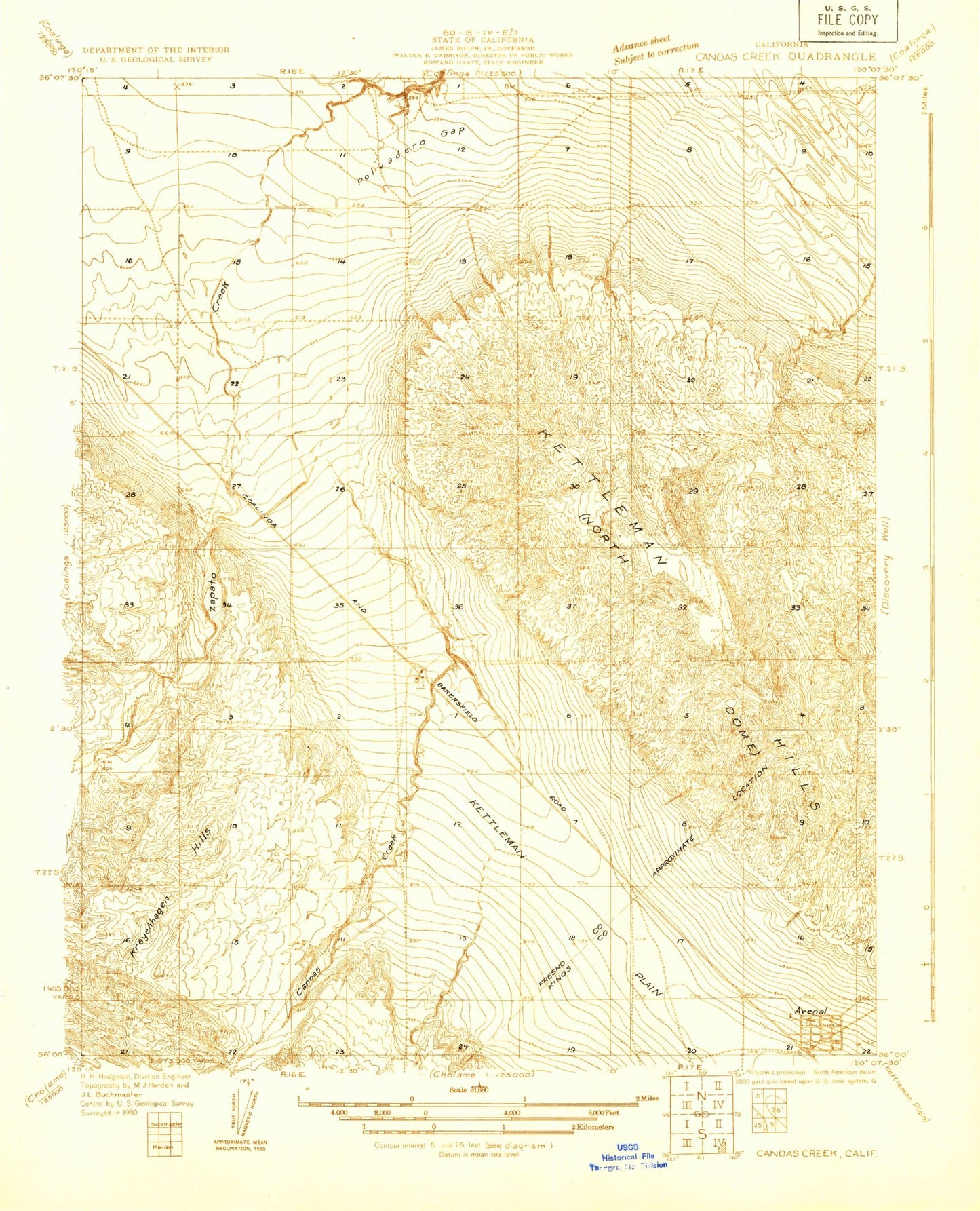
Historical USGS topographic quad map of Avenal in the state of California. Map scale may vary for some years, but is generally around 1:24,000. Print size is approximately 24" x 27"
This quadrangle is in the following counties: Fresno, Kings.
The map contains contour lines, roads, rivers, towns, and lakes. Printed on high-quality waterproof paper with UV fade-resistant inks, and shipped rolled.
Contains the following named places: Arroyo Corto, Arroyo Curvo, Arroyo Esquinado, Arroyo Larguito, Arroyo Recto, Arroyo Seco, Avenal, Avenal Airport, Avenal Branch Kings County Library, Avenal District Hospital Ambulance Service, Avenal Elementary School, Avenal High School, Avenal Hospital, Avenal Police Department, Canoas Creek, El Hocico, El Perro, El Piton, El Prado, Elephant Hill, Floyd Rice Park, Garza Creek, Kettleman Station, Kings County Fire Department Station 12 Avenal, La Canada Simada, La Lomera, La Luneta, Mantes Canyon, Polvadero Gap, Reef-Sunset Middle School, Starkey and Erwin Ranch, Sunrise High School, Surprise Arroyo, The Washboard, Weeth Ranch, Zapato Chino Canyon
