

MyTopo
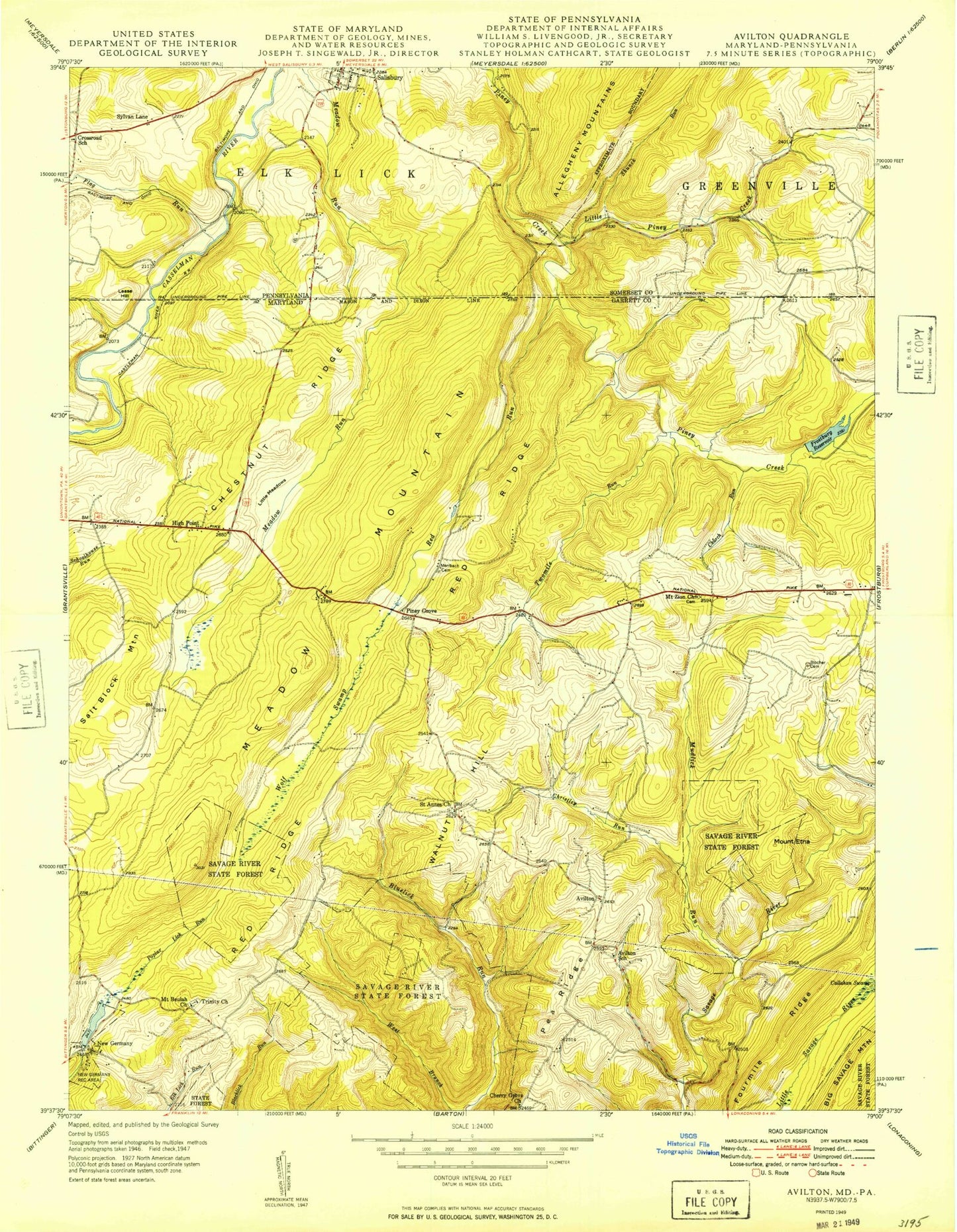
Classic USGS Avilton Maryland 7.5'x7.5' Topo Map
Couldn't load pickup availability
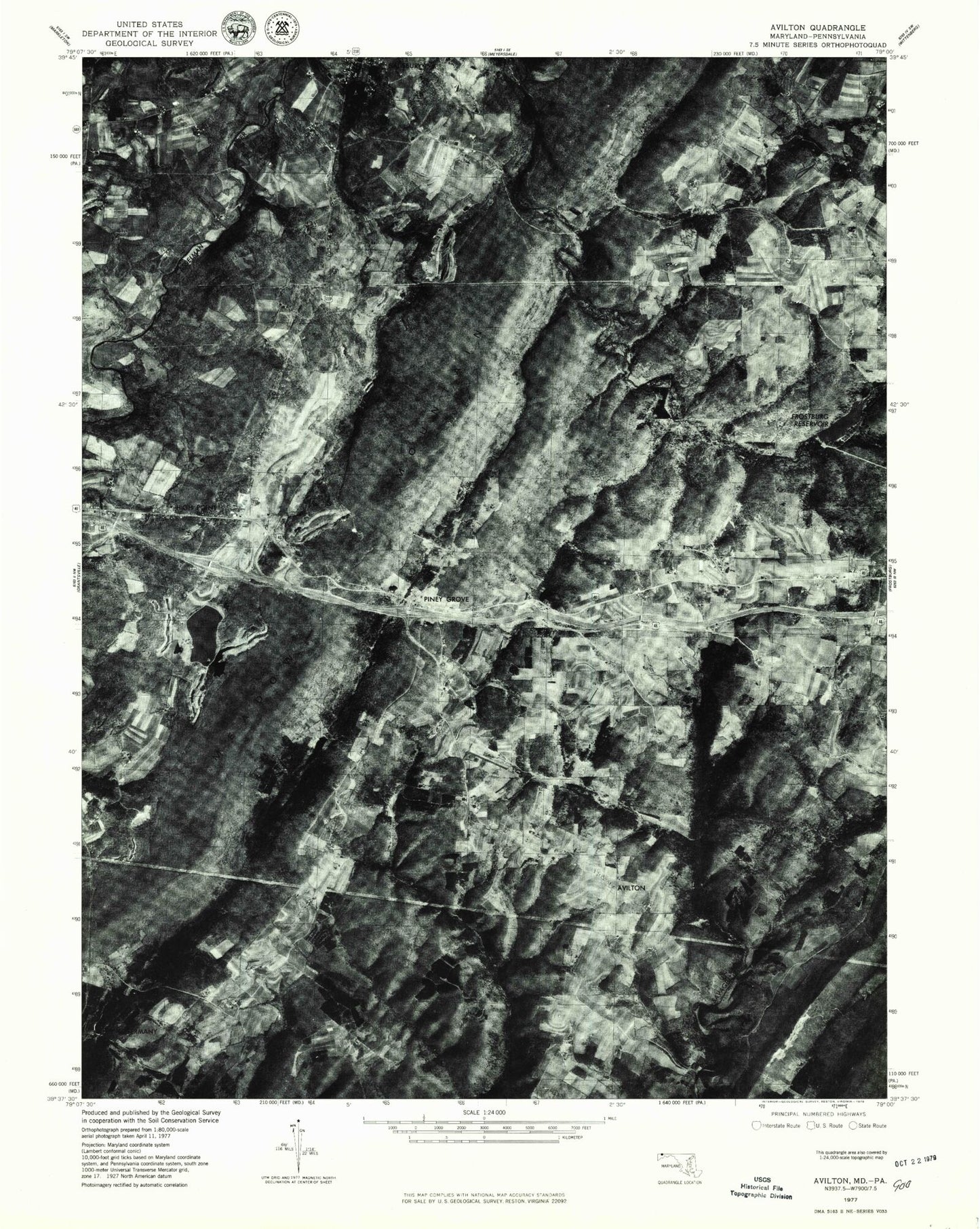
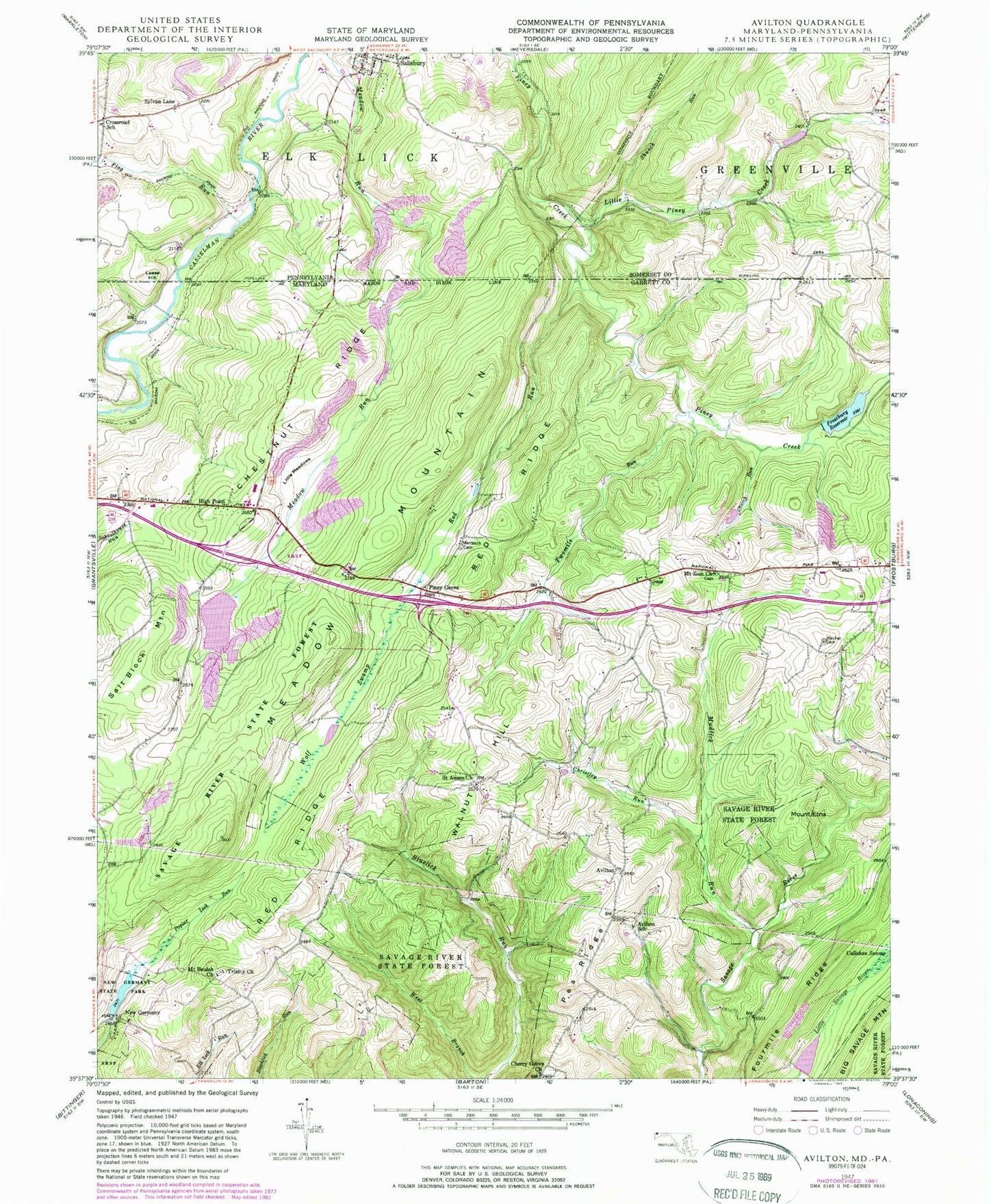
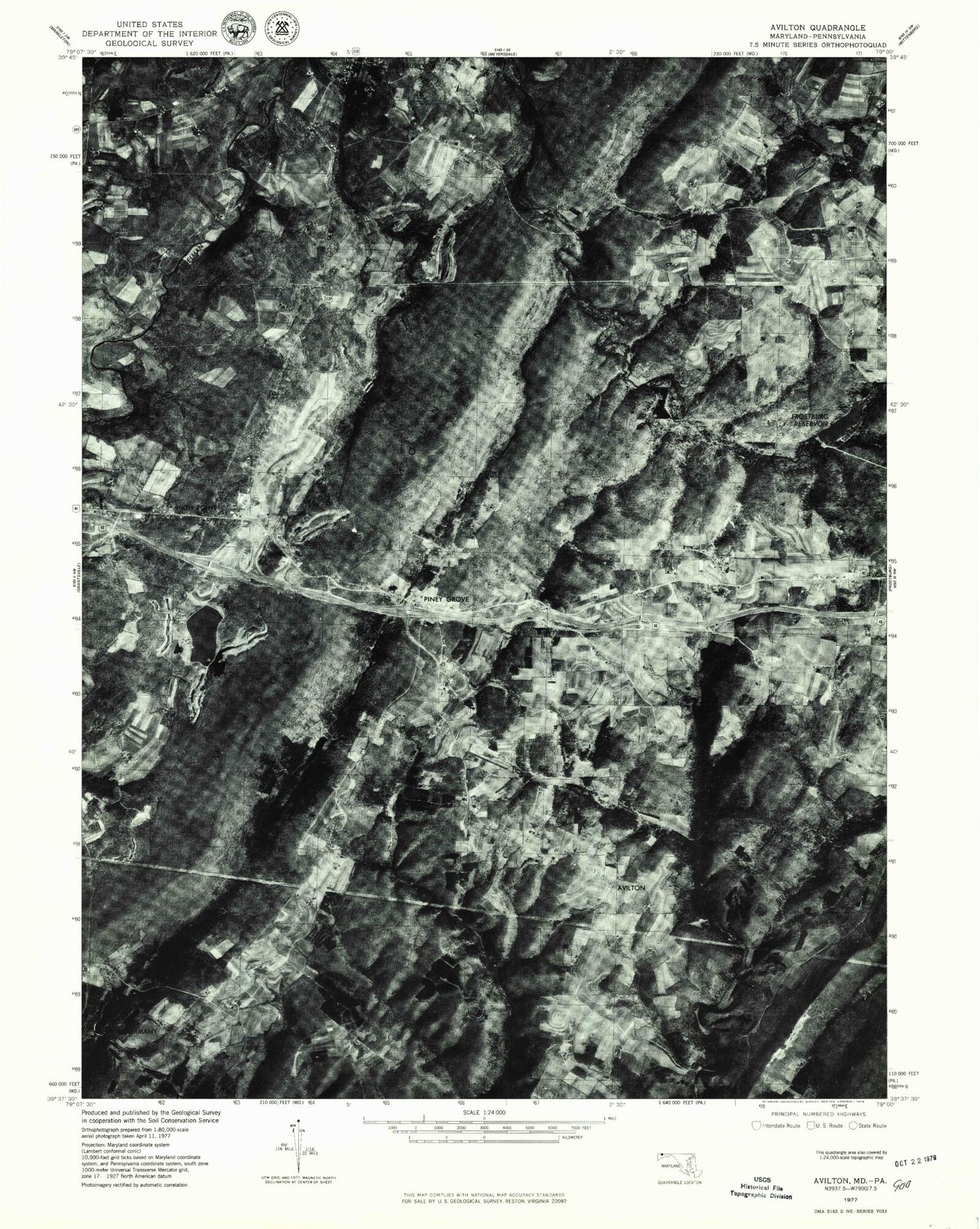
Historical USGS topographic quad map of Avilton in the states of Maryland, Pennsylvania. Map scale is 1:24000. Print size is approximately 24" x 27"
This quadrangle is in the following counties: Garrett, Somerset.
The map contains contour lines, roads, rivers, towns, and lakes. Printed on high-quality waterproof paper with UV fade-resistant inks, and shipped rolled.
Contains the following named places: Avilton, Avilton, Avilton School, Avilton School, Big Piney Run Dam, Big Piney Run Dam, Bittinger Farm Pond Dam, Bittinger Farm Pond Dam, Blackberry Ridge Farm, Blackberry Ridge Farm, Blocher Cemetery, Blocher Cemetery, Cherry Grove Church, Cherry Grove Church, Chestnut Ridge, Chestnut Ridge, Christley Run, Christley Run, Church Run, Church Run, Crossroad School, Crossroad School, District 15 Avilton, District 15 Avilton, Elk Lick Post Office (historical), Elk Lick Post Office (historical), Findley Spring, Findley Spring, Flag Run, Flag Run, Fourmile Ridge, Fourmile Ridge, Frostburg Reservoir, Frostburg Reservoir, High Point, High Point, Lease Hill, Lease Hill, Lease Hill, Lease Hill, Little Meadows, Little Meadows, Little Piney Creek, Little Piney Creek, Meadow Run Dam, Meadow Run Dam, Meadow Run Lake, Meadow Run Lake, Merrbach Cemetery, Merrbach Cemetery, Mount Beulah Cemetery, Mount Beulah Cemetery, Mount Beulah Church, Mount Beulah Church, Mount Etna, Mount Etna, Mount Zion Cemetery, Mount Zion Cemetery, Mount Zion Church, Mount Zion Church, Mudlick Run, Mudlick Run, New Germany, New Germany, New Germany Lake, New Germany Lake, New Germany Recreation Area, New Germany Recreation Area, New Germany School (historical), New Germany School (historical), New Germany State Park Dam, New Germany State Park Dam, Pea Ridge, Pea Ridge, Piney Grove, Piney Grove, Red Ridge, Red Ridge, Red Run, Red Run, Saint Annes Church, Saint Annes Church, Saint Anns Cemetery, Saint Anns Cemetery, Salt Block Mountain, Salt Block Mountain, Shunck Run, Shunck Run, Swaugers Mill (historical), Swaugers Mill (historical), Sylvan Lane, Sylvan Lane, Trinity Cemetery, Trinity Cemetery, Trinity Church, Trinity Church, Twomile Run, Twomile Run, WAIJ-FM (Grantsville), WAIJ-FM (Grantsville), Walnut Hill, Walnut Hill, Wolf Swamp, Wolf Swamp