MyTopo
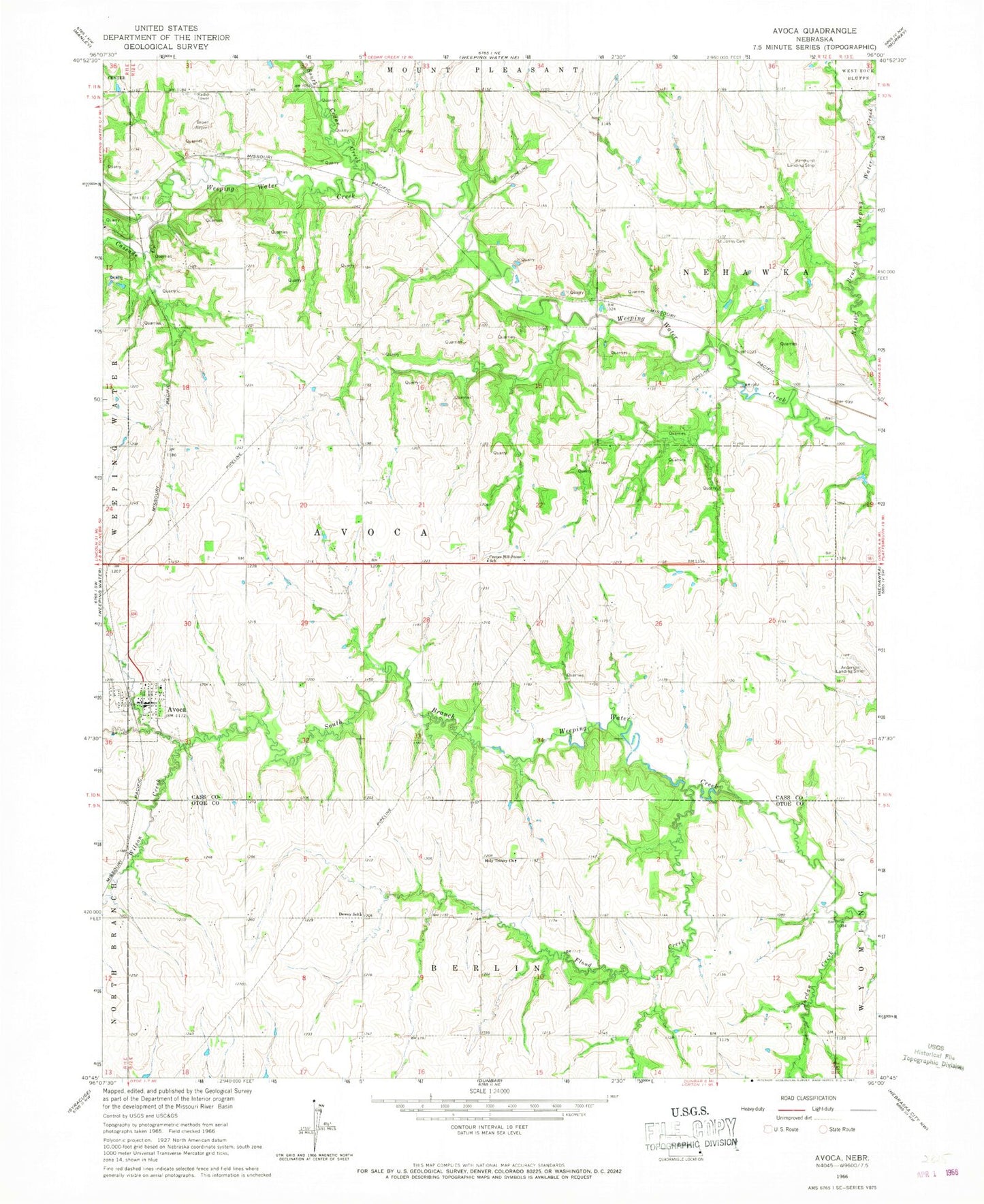
Classic USGS Avoca Nebraska 7.5'x7.5' Topo Map
Couldn't load pickup availability
Historical USGS topographic quad map of Avoca in the state of Nebraska. Map scale may vary for some years, but is generally around 1:24,000. Print size is approximately 24" x 27"
This quadrangle is in the following counties: Cass, Otoe.
The map contains contour lines, roads, rivers, towns, and lakes. Printed on high-quality waterproof paper with UV fade-resistant inks, and shipped rolled.
Contains the following named places: Ahrens Dam, Ahrens Reservoir, Avoca, Avoca Election Precinct, Avoca Post Office, Avoca Quick Response Team - Ambulance, Avoca School, Avoca Volunteer Fire Department, Bond Dam, Bond Reservoir, Browns Airport, Cascade Creek, Center Hill-Stone School, Cherry Hill Chiropractic of Avoca, Dewey School, First Lutheran Church, Flood Creek, Goose Creek, Holy Trinity Catholic Church, Holy Trinity Church, Jordan Creek, Nehawka Farmers Cooperative Company Elevator, Saint Johns Cemetery, South Cedar Creek, Township of Avoca, Township of West Rock Bluffs, Village of Avoca, Wilson Creek, ZIP Code: 68413