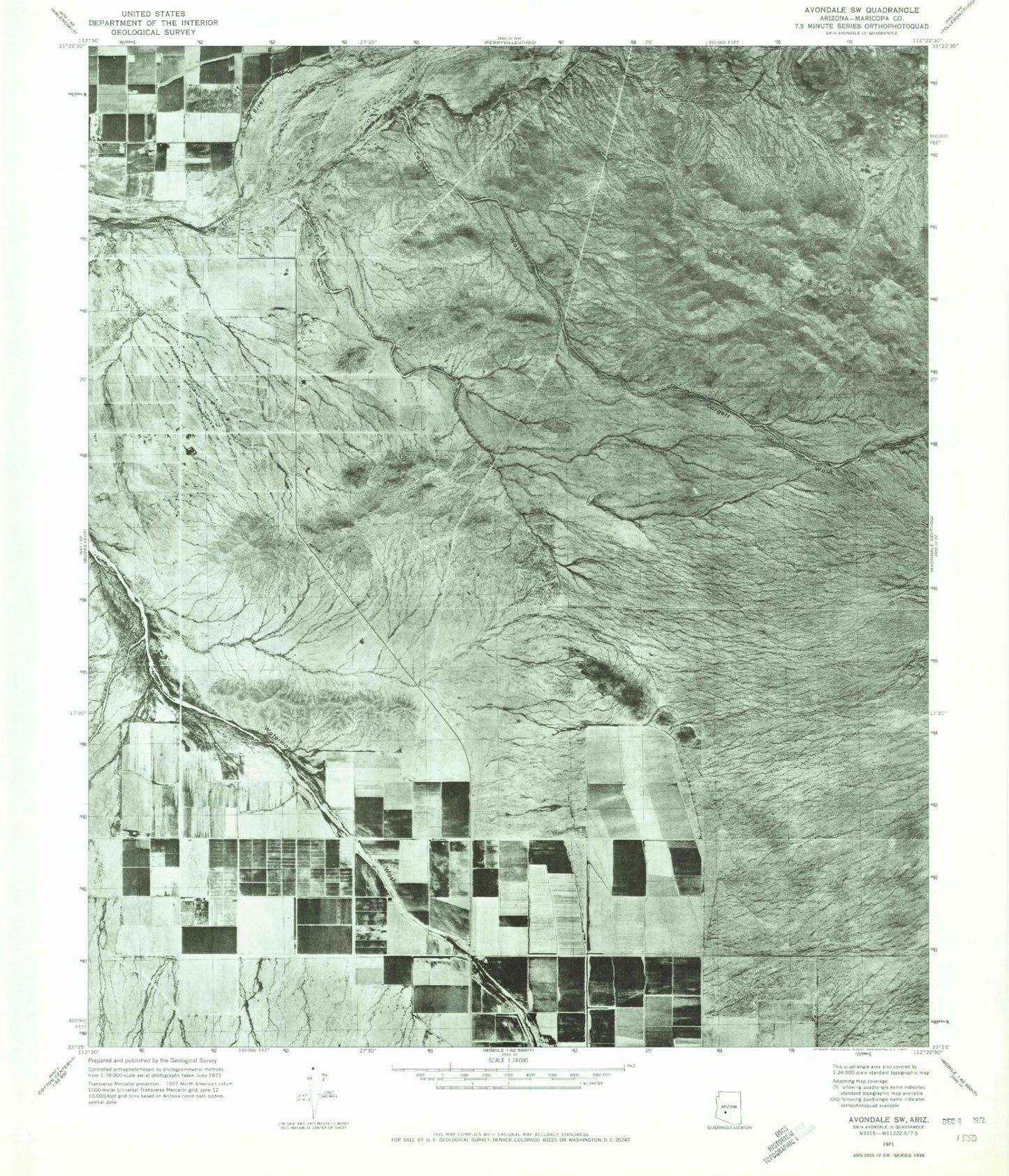
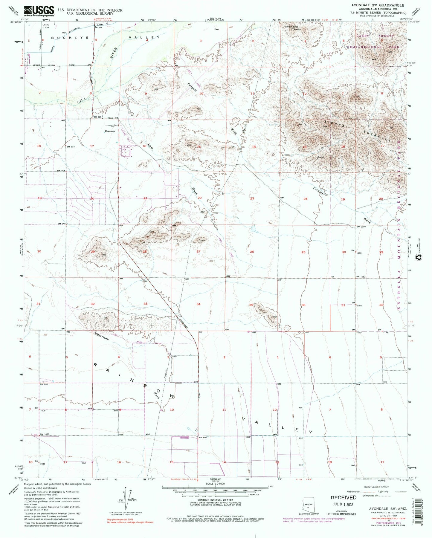
MyTopo
Classic USGS Avondale SW Arizona 7.5'x7.5' Topo Map
Couldn't load pickup availability
Historical USGS topographic quad map of Avondale SW in the state of Arizona. Typical map scale is 1:24,000, but may vary for certain years, if available. Print size: 24" x 27"
This quadrangle is in the following counties: Maricopa.
The map contains contour lines, roads, rivers, towns, and lakes. Printed on high-quality waterproof paper with UV fade-resistant inks, and shipped rolled.
Contains the following named places: Casey Abbott Semi-Regional Park, Corgett Wash, Liberty Cemetery, Lum Wash, South Extension Canal, Maricopa County, Rainbow Valley Water Reclamation Facility, Rainbow Valley Elementary School, Estrella Mountain Elementary School, Estrella Foothills High School, Westar Elementary School, City of Estrella Wastewater Treatment Plant, The Golf Club of Estrella, Estrella Mountain Church, Victory Baptist Church, Goodyear Fire Department Station 182, Buckeye Valley Fire District Station 326