MyTopo
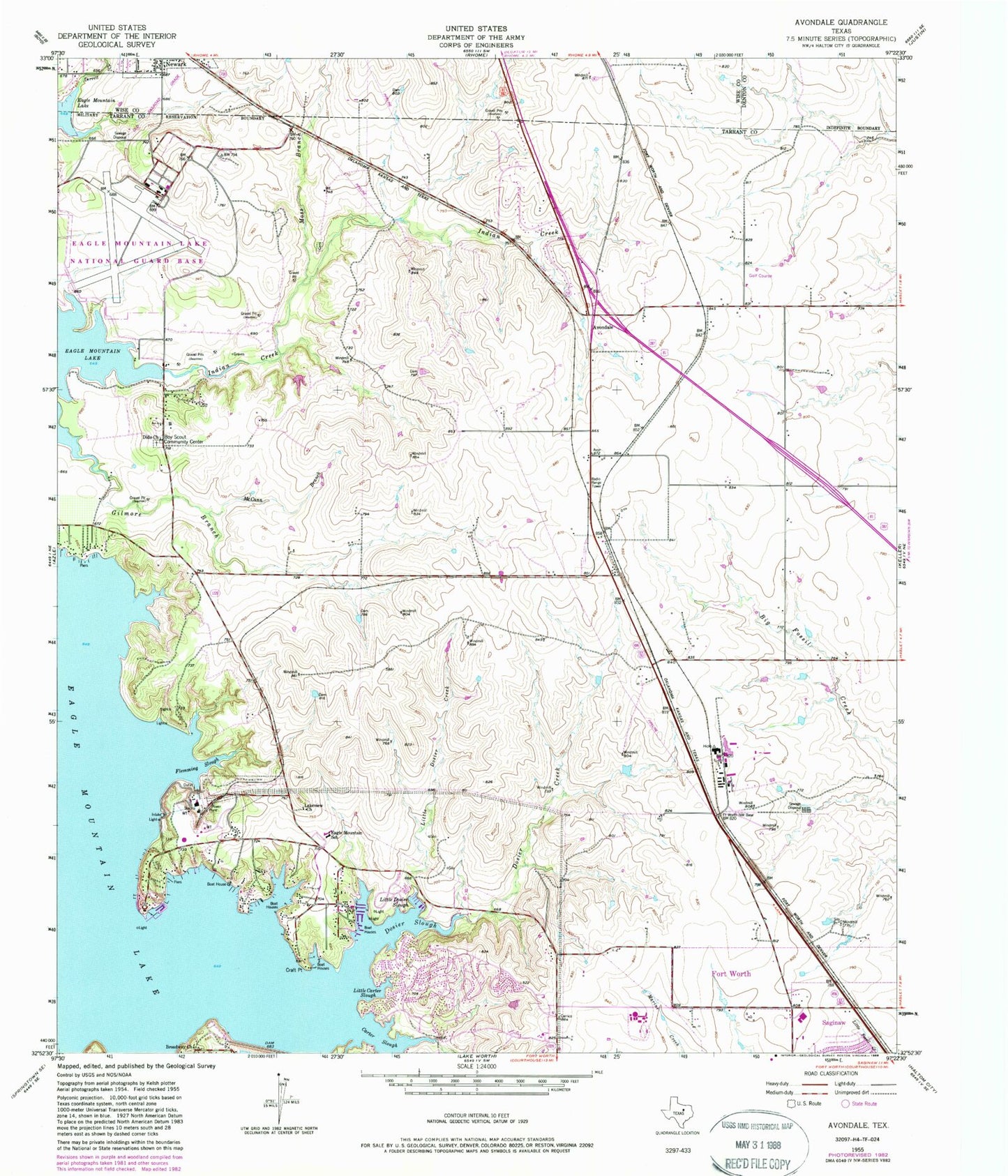
Classic USGS Avondale Texas 7.5'x7.5' Topo Map
Couldn't load pickup availability
Historical USGS topographic quad map of Avondale in the state of Texas. Typical map scale is 1:24,000, but may vary for certain years, if available. Print size: 24" x 27"
This quadrangle is in the following counties: Denton, Tarrant, Wise.
The map contains contour lines, roads, rivers, towns, and lakes. Printed on high-quality waterproof paper with UV fade-resistant inks, and shipped rolled.
Contains the following named places: Craft Point, Derrett Creek, Dido Church, Dosier Creek, Dosier Slough, Eagle Mountain School, Flemming Slough, Gilmore Branch, Indian Creek, Lakeview Church, Little Carter Slough, Little Dosier Creek, Little Dosier Slough, McCann Branch, Moss Branch, Carter Slough, Eagle Mountain Lake, Avondale, Kenneth Copeland Airport, Hicks Airfield, Eagle Mountain, Pecan Acres, Eagle Mountain Elementary School, Boswell High School, Dido Methodist Church, Lakeview Baptist Church, Pioneer Stadium, William Houston Park, Lakeview, Eagle Mountain Census Designated Place (historical), Pecan Acres Census Designated Place, City of Newark, Bryson Elementary School, Eagle Mountain Volunteer Fire Department and Emergency Medical Services, Fort Worth Fire Department Station 40, Fort Worth Fire Department Station 41


