MyTopo
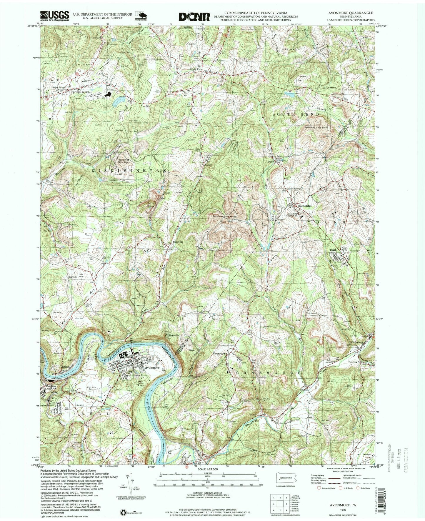
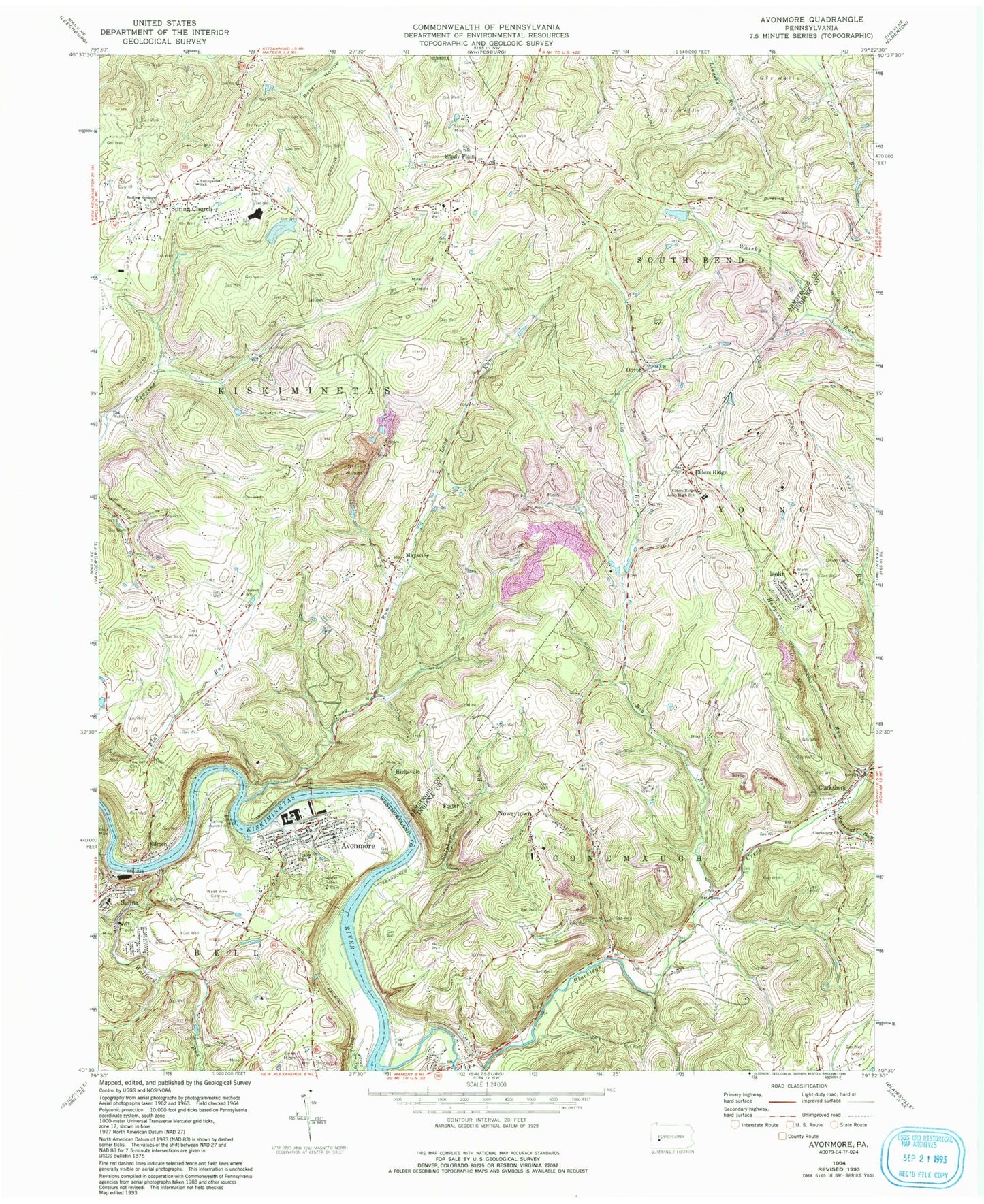
Classic USGS Avonmore Pennsylvania 7.5'x7.5' Topo Map
Couldn't load pickup availability
Historical USGS topographic quad map of Avonmore in the state of Pennsylvania. Map scale may vary for some years, but is generally around 1:24,000. Print size is approximately 24" x 27"
This quadrangle is in the following counties: Armstrong, Indiana, Westmoreland.
The map contains contour lines, roads, rivers, towns, and lakes. Printed on high-quality waterproof paper with UV fade-resistant inks, and shipped rolled.
Contains the following named places: Apollo-Ridge High School, Avonmore, Avonmore Boro Police Department, Avonmore Life Savers Emergency Medical Services, Avonmore Post Office, Avonmore Public Library, Avonmore Station, Avonmore Volunteer Fire Department, Bell Township Volunteer Fire Department, Big Run, Blacklegs Creek, Boiling Springs Church, Borough of Avonmore, Clarksburg, Clarksburg Church, Clarksburg Post Office, Clarksburg Presbyterian Cemetery, Covenenter Cemetery, Edmon, Edri, Elders Ridge, Elders Ridge Joint High School, Fairview Cemetery, Foster, Harpers Run, Hicksville, Horrell School, Iselin, Iselin / West Lebanon Volunteer Fire Department Station 310, Iselin Cemetery, J and W Landing Strip, Long Run, Long Run Post Office, Marshall Run, Maysville, Maysville Evangelical Lutheran Church Cemetery, Nowrytown, Nowrytown Cemetery, Olivet, Olivet Cemetery, Ridge View Cemetery, Salina, Salina Post Office, Shady Plain, Spring Church, Spring Church Joint Cemetery, Spring Church Lutheran Church Cemetery, Spring Church Post Office, Sulphur Run, Sunnyside Elementary School, Townsend Cemetery, Township of Conemaugh, Township of Kiskiminetas, West View Cemetery, Wolford Run, ZIP Codes: 15618, 15680, 15681, 15686


