MyTopo
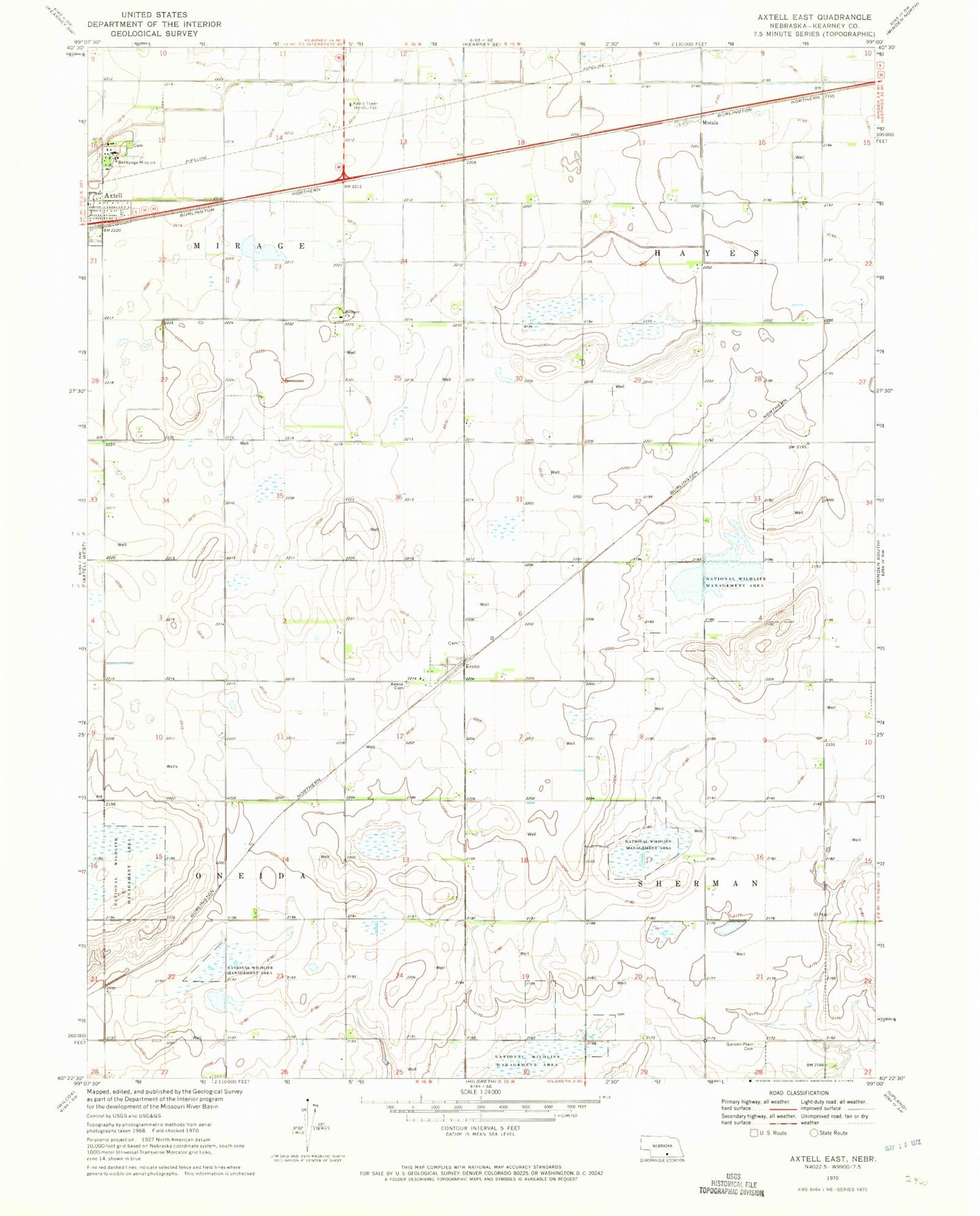
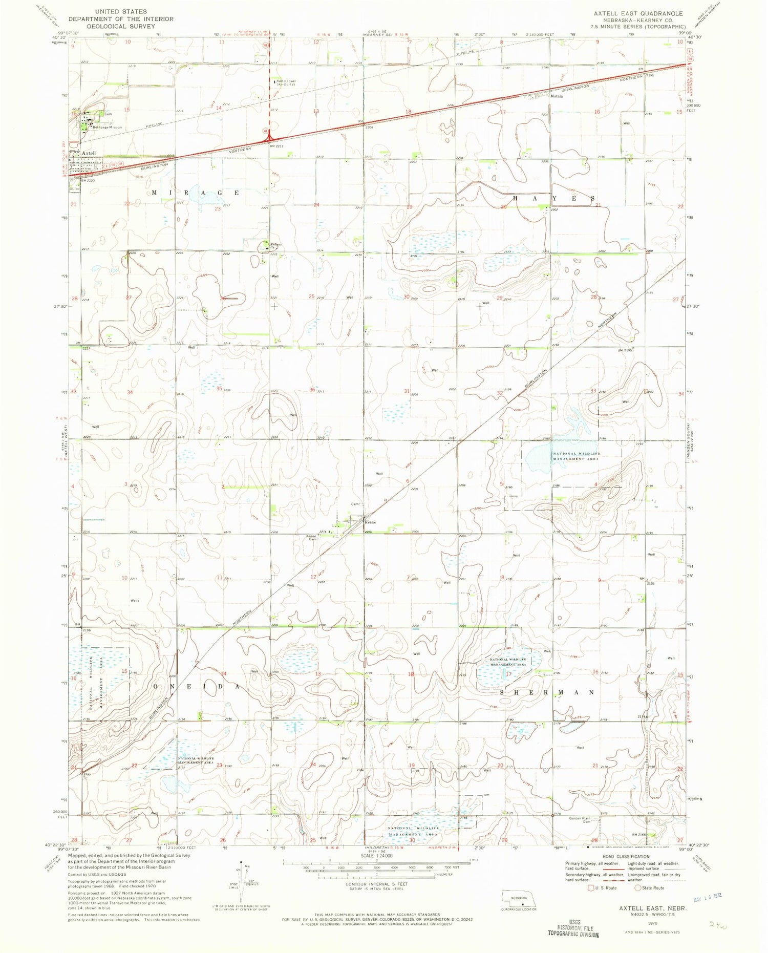
Classic USGS Axtell East Nebraska 7.5'x7.5' Topo Map
Couldn't load pickup availability
Historical USGS topographic quad map of Axtell East in the state of Nebraska. Map scale may vary for some years, but is generally around 1:24,000. Print size is approximately 24" x 27"
This quadrangle is in the following counties: Kearney.
The map contains contour lines, roads, rivers, towns, and lakes. Printed on high-quality waterproof paper with UV fade-resistant inks, and shipped rolled.
Contains the following named places: Axtell Volunteer Fire and Rescue, Bethany Church, Bethpage Mission, Bluestem Federal Waterfowl Production Area, Clark Federal Waterfowl Production Area, Garden Plain Cemetery, Gleason Federal Waterfowl Production Area, Keene, Keene Cemetery, Keene Co-op Grain and Supply Company Elevator, Keene Evangelical Free Church, Keene Post Office, Kildeer Federal Waterfowl Production Area, Lindau Federal Waterfowl Production Area, Motala, Prairie Dog Federal Waterfowl Production Area, Township of Hayes, Township of Mirage, Township of Oneida, Township of Sherman, Trinity Lutheran Church, ZIP Code: 68924