MyTopo
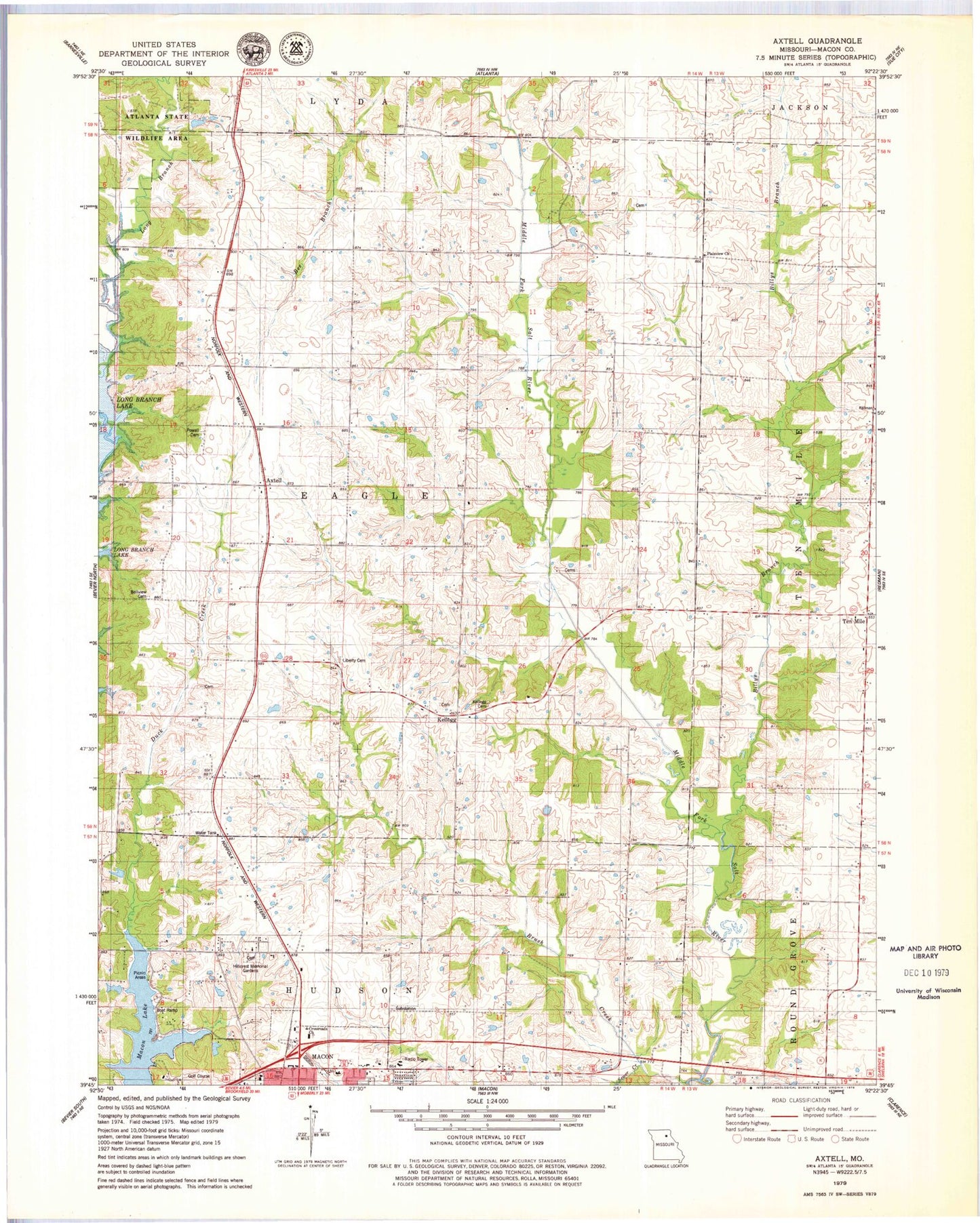
Classic USGS Axtell Missouri 7.5'x7.5' Topo Map
Couldn't load pickup availability
Historical USGS topographic quad map of Axtell in the state of Missouri. Map scale may vary for some years, but is generally around 1:24,000. Print size is approximately 24" x 27"
This quadrangle is in the following counties: Macon.
The map contains contour lines, roads, rivers, towns, and lakes. Printed on high-quality waterproof paper with UV fade-resistant inks, and shipped rolled.
Contains the following named places: Axtell, B Thieman Dam, Bellview Cemetery, Billys Branch, Browns School Number 2, Browns School Number 5, Brush Creek, Crossroads Church, Duck Creek School, Eagle School, Fairview Church, Hickory Grove School, Hillcrest Memorial Gardens, Kellogg, Kellogg Cemetery, La Porta School, Larson Lake Dam, Liberty Cemetery, Liberty Church, Lyda, Lyda Post Office, Macon Lake, Macon Plaza, Macon Rural Fire Department, Mechlin Lake Dam, Missouri State Highway Patrol Troop B, Number 22 Dam, Oakwood School, Plainview Church, Pleasant Grove School, Pleasant Valley School, Powell Cemetery, Sewer Creek, Ten Mile, Township of Eagle, Van Vleet School, Wardell School, Whiteoak School, ZIP Code: 63552