MyTopo
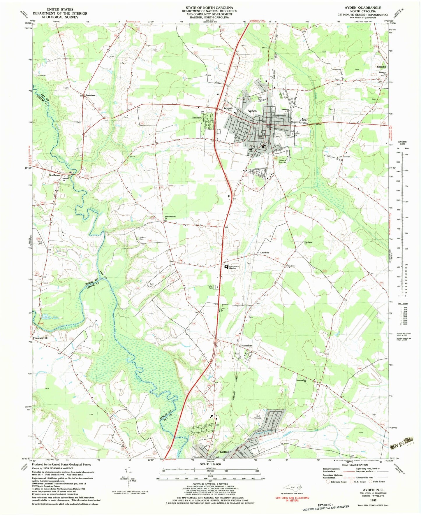
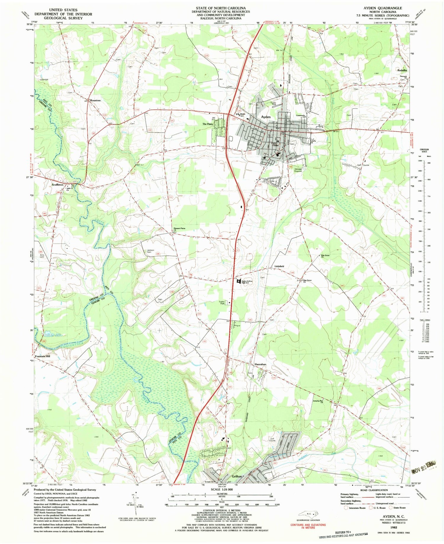
Classic USGS Ayden North Carolina 7.5'x7.5' Topo Map
Couldn't load pickup availability
Historical USGS topographic quad map of Ayden in the state of North Carolina. Map scale may vary for some years, but is generally around 1:24,000. Print size is approximately 24" x 27"
This quadrangle is in the following counties: Greene, Lenoir, Pitt.
The map contains contour lines, roads, rivers, towns, and lakes. Printed on high-quality waterproof paper with UV fade-resistant inks, and shipped rolled.
Contains the following named places: Anointed One Church of Deliverance, Artis Cemetery, Ayden, Ayden Elementary School, Ayden Fire Rescue and Emergency Medical Services Department, Ayden First Pentecostal Holiness Church, Ayden Golf and Country Club, Ayden Middle School, Ayden Police Department, Ayden Post Office, Ayden Rescue Squad, Ayden-Grifton High School, Belair Estates, Britthaven of Ayden, Community Church, Cresent Heights Mobile Home Park, Deerfield, Edwards Bridge, Elm Grove Church, Faith Baptist Church, Grifton Police Department Non Emergency, Hancock Church, Hanrahan, Jackson Cemetery, Jumping Run Church, Kennedy Estates, Liberty Church, Little Contentnea Creek, Little Creek Church, Littlefield, New Deliverance Free Will Baptist Church, North Hills Estates, Open Heart Church of God, Pleasant Plains Church, Pleasant Ridge, Redallia, Rountree, Saint Jude Church, Scuffleton, Strawberry Banks, The Pines, Town of Ayden, Township of Ayden, Township of Grifton, Zion Chapel, ZIP Code: 28513


