MyTopo
Classic USGS Ayer Massachusetts 7.5'x7.5' Topo Map
Couldn't load pickup availability
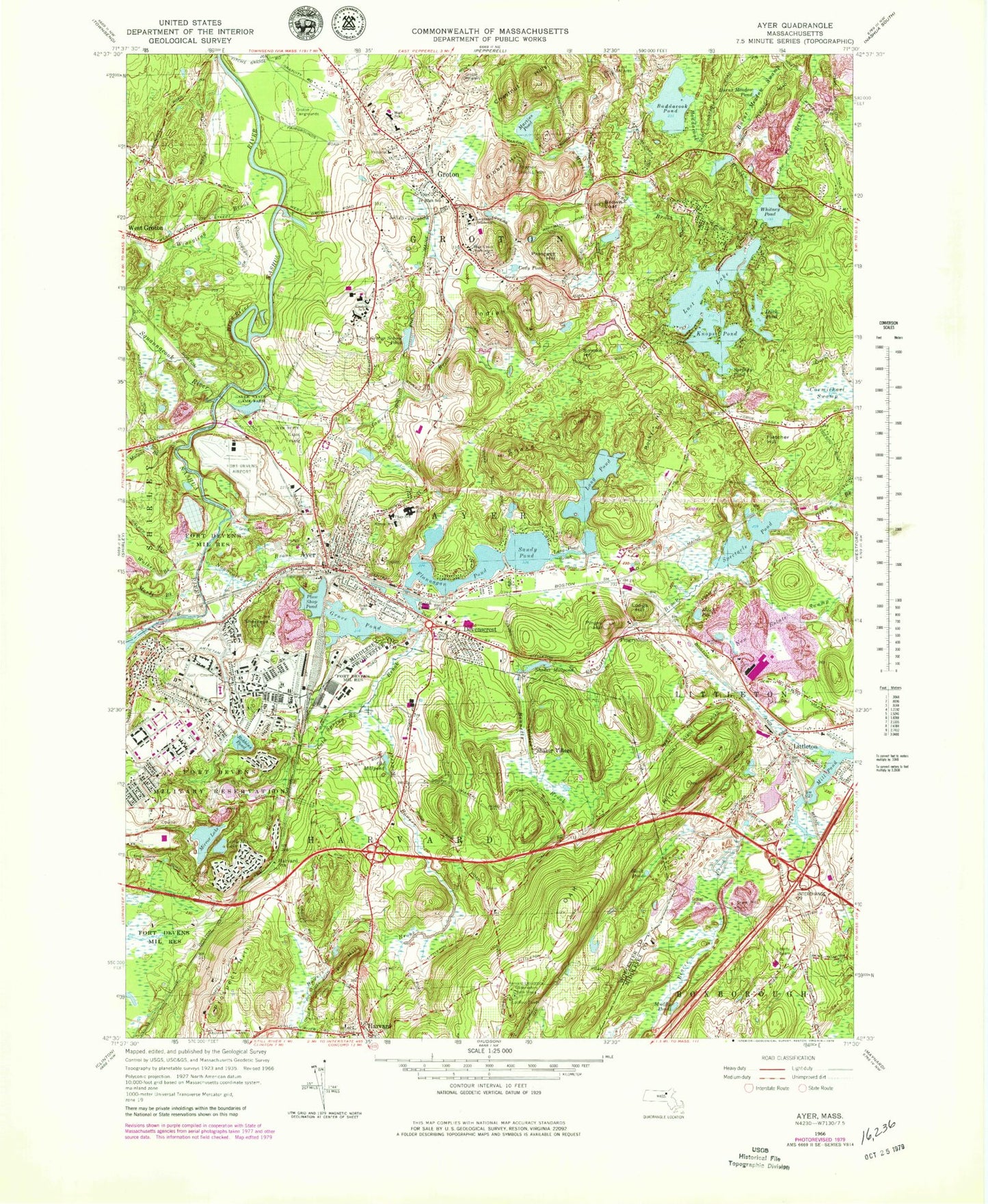
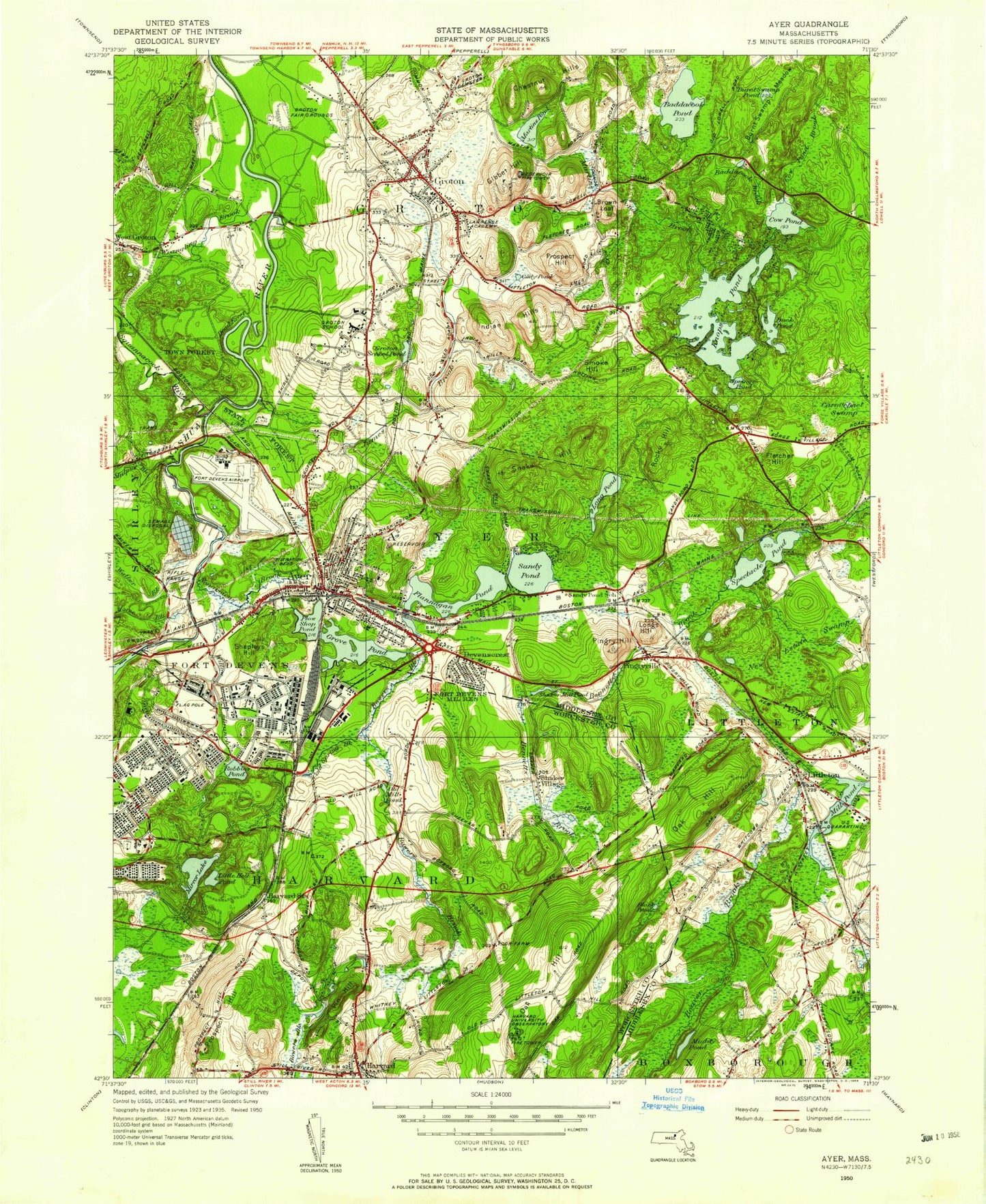
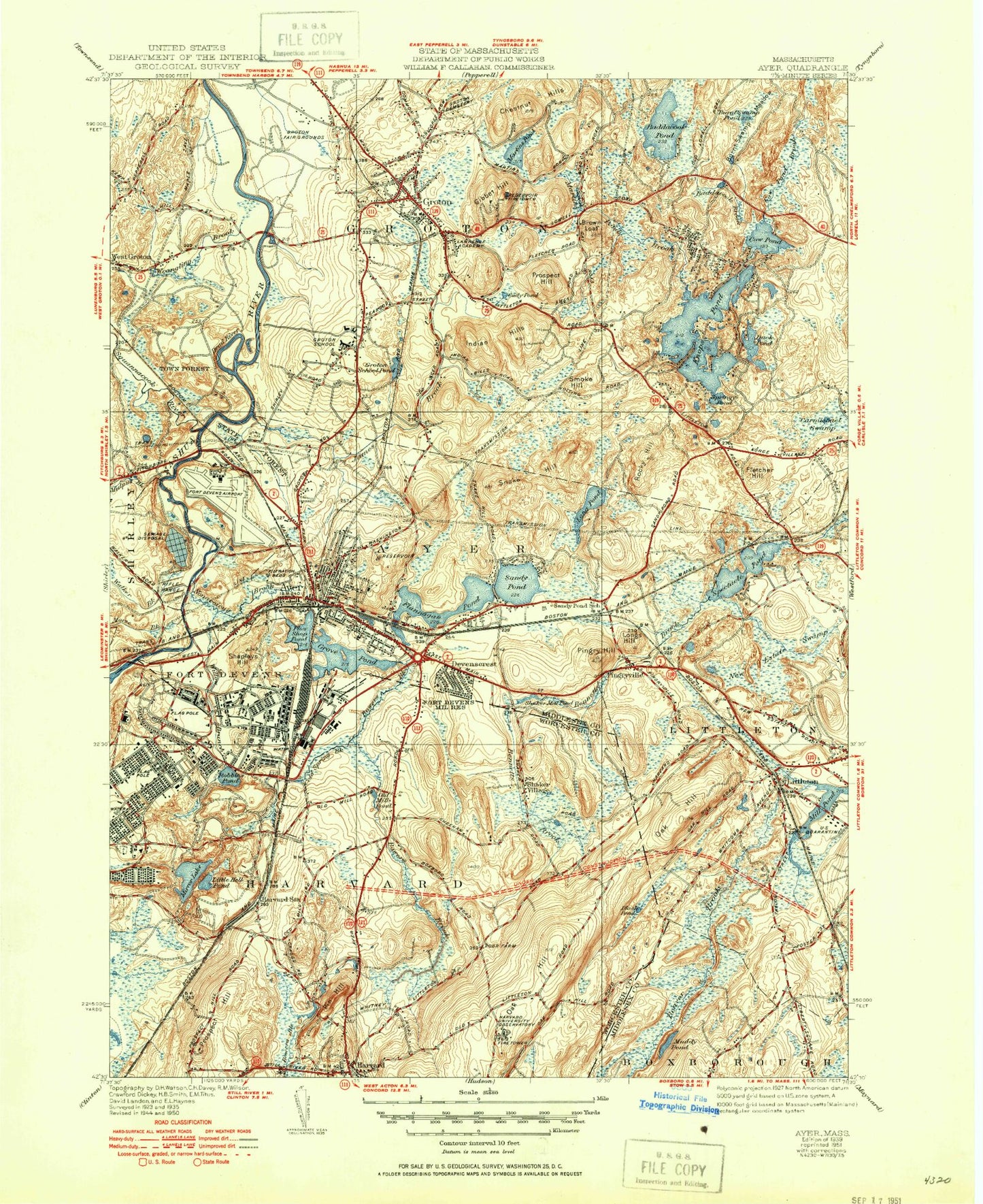
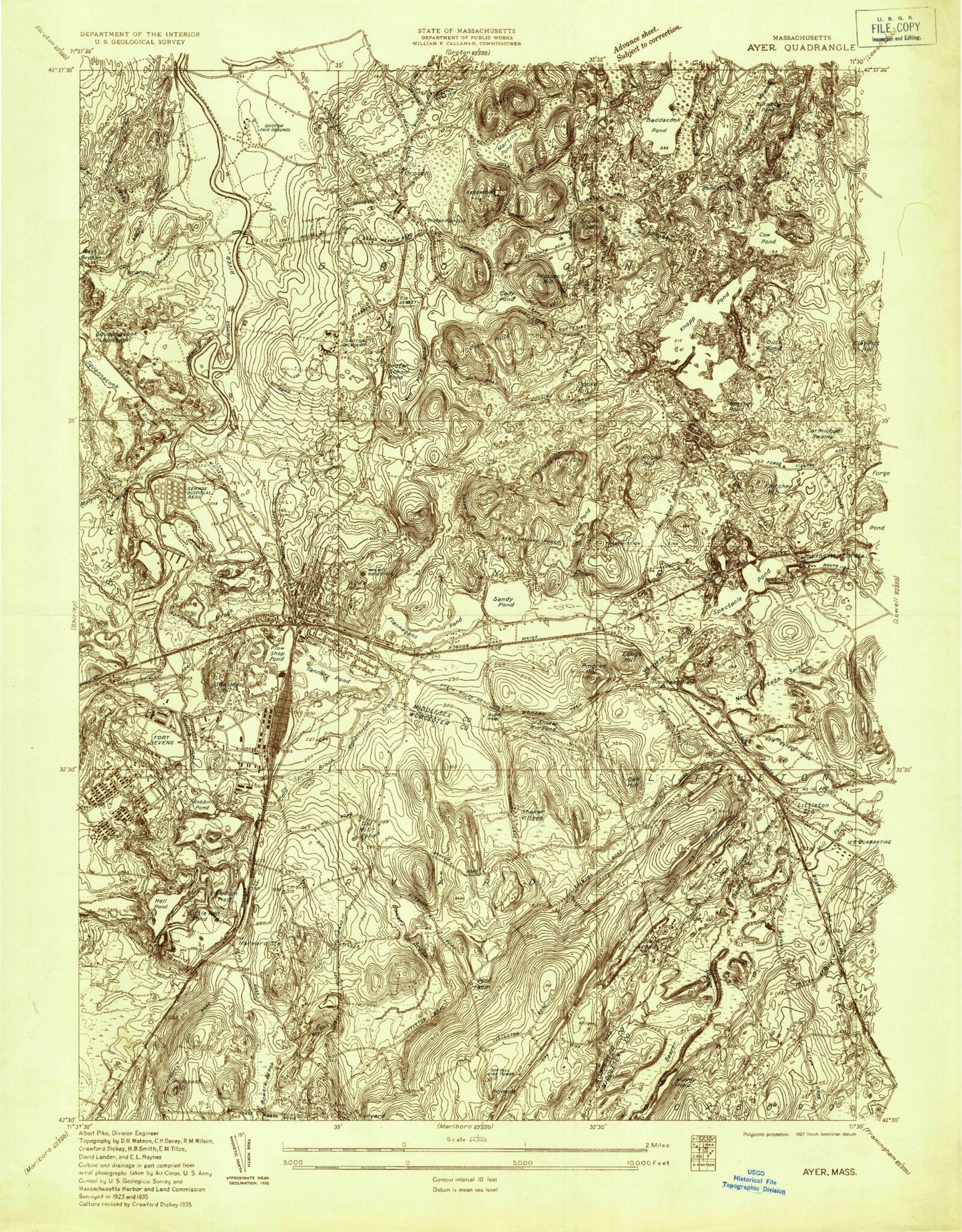
Historical USGS topographic quad map of Ayer in the state of Massachusetts. Typical map scale is 1:24,000, but may vary for certain years, if available. Print size: 24" x 27"
This quadrangle is in the following counties: Middlesex, Worcester.
The map contains contour lines, roads, rivers, towns, and lakes. Printed on high-quality waterproof paper with UV fade-resistant inks, and shipped rolled.
Contains the following named places: Polish Cemetery, Page School, Ayer High School, Pond School, Lawrence Academy, Groton Junior High School, Hilltop School, Saint Mary's Cemetery, Groton School, Holy Union Novitiate, Groton High School, Harvard University Observatory, Grotan Fairgrounds, Nashua River Reservoir, West Main Street Dam, Balch Pond Dike, Old Pumping Station Dam, Plow Shop Pond Dam, Plow Shop Pond Dike, Lower Long Pond, Lower Long Pond Dam, Upper Flannagan Pond Dam, Upper Flannagan Pond, Upper Long Pond Dam, Upper Long Pond, Lost Lake Dam, Nonaicoicus Hill, Oxbow National Wildlife Refuge, Cow Pond Meadow, Browns Swamp, Half Moon Brook, Oxbow National Wildlife Refuge, Emmanuel Church, Hilltop School, Page School, Calvary Church, Moore Airfield (historical), Ayer State Game Area, Nashoba Valley Medical Center, Holy Union Novitiate, Groton School, Lawrence Academy, Groton Cemetery, Groton Hills Ski Area, Prescott Elementary School, Ayer, Baddacook Brook, Balch Pond, Bennetts Brook, Black Pond, Black Pond, Bowers Brook, Brown Loaf, Burnt Meadow Pond, Burnt Meadow Swamp, Cady Pond, Carmichael Swamp, Chestnut Hills, Cold Spring Brook, Dead River, Devenscrest, Duck Pond, Flannagan Pond, Fletcher Hill, Gibbet Hill, Grove Pond, Groton, Groton School Pond, Harvard, Harvard Station, Indian Hills, James Brook, Knops Pond, Little Mirror Lake, Littleton, Long Pond, Long Pond Brook, Longs Hill, Lost Lake, Martins Pond, Martins Pond Brook, Mill Pond, Mirror Lake, Morse Brook, Muddy Pond, Mulpus Brook, New Estate Swamp, Nonacoicus Brook, Oak Hill, Old Millpond, Pin Hill, Pingry Hill, Pingryville, Plow Shop Pond, Prospect Hill, Prospect Hill, Robbins Pond, Rocky Hill, Sandy Pond, Shaker Millpond, Shaker Village, Shepleys Hill, Smoke Hill, Snake Hill, Spectacle Pond, Springy Pond, Squannacook River, Walker Brook, Whitney Pond, Willow Branch, Wrangling Brook, Baddacook Pond, Brown Hill, Willows, Woodsville, Town of Ayer, Nashoba Community Hospital Heliport, Moore AAF Airport (historical), Town of Groton, Town of Harvard, Ayer Library, Ayer Middle School, Ayer Post Office, Ayer Town Hall, Deaconess-Nashoba Hospital, Deaconess-Nashoba Hospital Medical Library, First Baptist Church of Groton, Florence Roche School, Groton Post Office, Groton Country Club, Groton Dunstable Regional High School, Groton Dunstable Regional Middle School, Groton Public Library, Groton Town Hall, Harwood Post Office, School House Pond, Shepherd of the Valley Church, Stony Brook Industrial Park, Union Congregational Church, Apple Valley Baptist Church, Church of God, Emmanuel Missionary Baptist Church, Federated Church, New Hope Baptist Church of Ayer, New Patriots Church, Saint Andrews Episcopal Church, Evangelical Congregational Church, Fruitlands Museum, Fruitlands Museum Library, Harvard Shaker Village Historic District, Harvard Town Hall, Saint Theresas Church, Shaker Hills Golf Course, Oak Meadow Montessori School, Country Day of Holy Union School, Childrens Extended Care School, Littleton-495 Station, Page-Hilltop School, Ayer Public Library, Ayer Station, Francis W Parker Charter School, Groton-Dunstable Middle School Library, Seven Hills Academy, Ayer Census Designated Place, Fort Devens Census Designated Place (historical), Groton Census Designated Place, Carlson Orchards, Doe Orchards, Devens Census Designated Place, Devens, Ayer Fire Department, Harvard Fire Department Station 1 Headquarters, Groton Fire Department Central Station, Groton Fire Department Station 3, Devens Fire Department, Groton Fire Department Station 2, Harvard Ambulance Service, Federal Medical Center Devens, Groton Police Dept, Ayer Police Department, Harvard Police Department, Massachusetts State Police Troop C9 Devens Barracks, Devens Post Office, Harvard Post Office, Old Burying Ground Cemetery, Woodlawn Cemetery, Woodlawn Cemetery Soldiers' Lot, Fort Devens Cemetery, Polish Cemetery, Page School, Ayer High School, Pond School, Lawrence Academy, Groton Junior High School, Hilltop School, Saint Mary's Cemetery, Groton School, Holy Union Novitiate, Groton High School, Harvard University Observatory, Grotan Fairgrounds, Nashua River Reservoir, West Main Street Dam, Balch Pond Dike, Old Pumping Station Dam, Plow Shop Pond Dam, Plow Shop Pond Dike, Lower Long Pond, Lower Long Pond Dam, Upper Flannagan Pond Dam, Upper Flannagan Pond, Upper Long Pond Dam, Upper Long Pond, Lost Lake Dam, Nonaicoicus Hill, Oxbow National Wildlife Refuge, Cow Pond Meadow, Browns Swamp, Half Moon Brook, Oxbow National Wildlife Refuge, Emmanuel Church, Hilltop School, Page School, Calvary Church, Moore Airfield (historical), Ayer State Game Area, Nashoba Valley Medical Center, Holy Union Novitiate, Groton School, Lawrence Academy, Groton Cemetery, Groton Hills Ski Area, Prescott Elementary School, Ayer, Baddacook Brook, Balch Pond