MyTopo
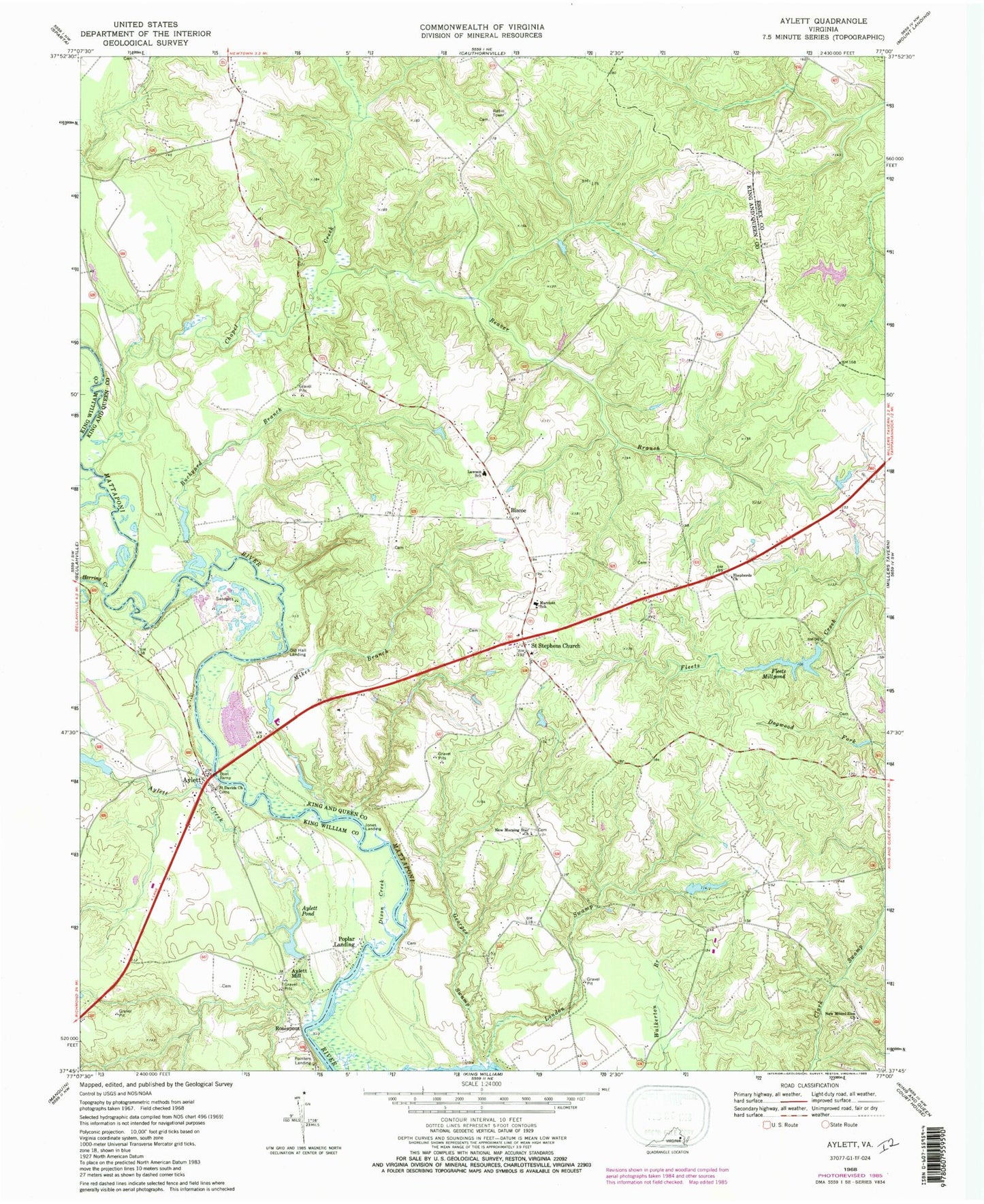
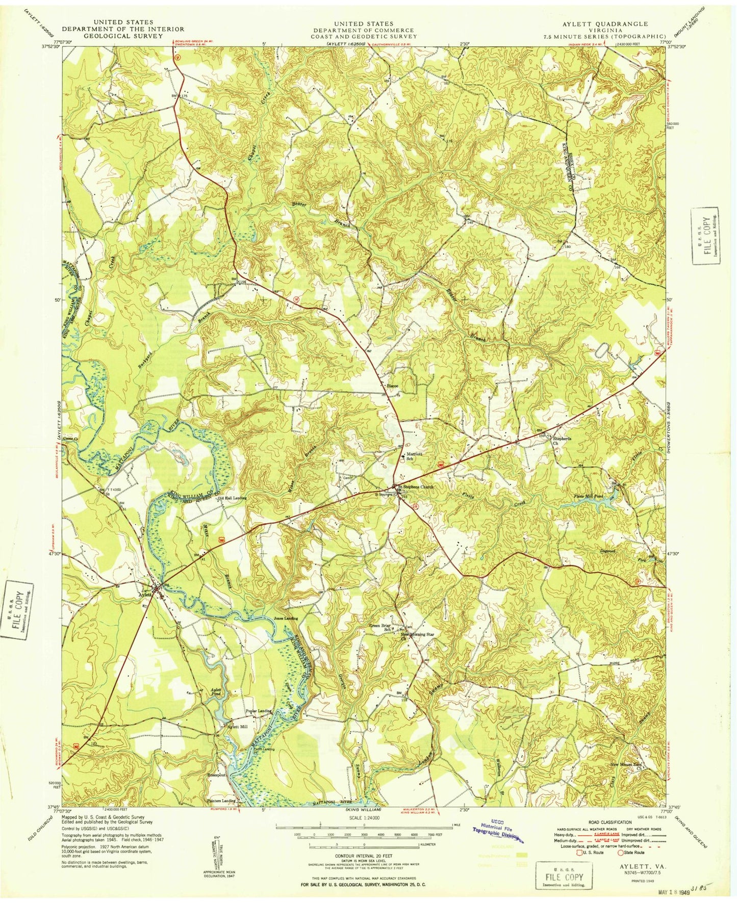
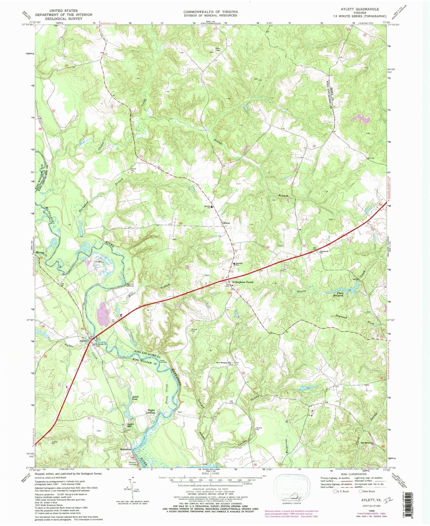
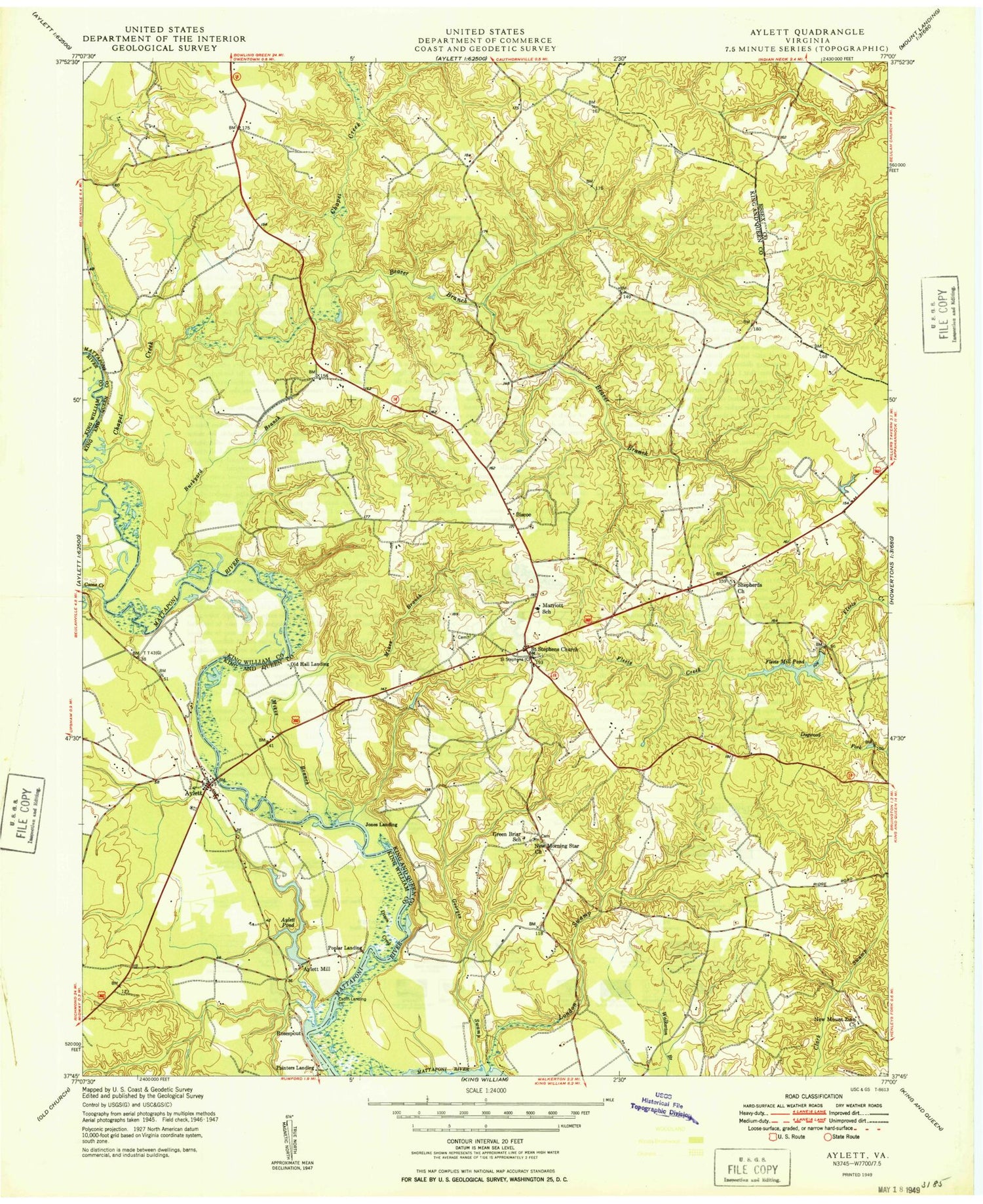
Classic USGS Aylett Virginia 7.5'x7.5' Topo Map
Couldn't load pickup availability
Historical USGS topographic quad map of Aylett in the state of Virginia. Typical map scale is 1:24,000, but may vary for certain years, if available. Print size: 24" x 27"
This quadrangle is in the following counties: Essex, King William, King and Queen.
The map contains contour lines, roads, rivers, towns, and lakes. Printed on high-quality waterproof paper with UV fade-resistant inks, and shipped rolled.
Contains the following named places: Aylett Creek, Beaver Branch, Buckyard Branch, Dixon Creek, Fleets Millpond, Georges Swamp, Herring Creek, Lawson School, London Swamp, Lawson Marriott Elementary School, Mikes Branch, New Morning Star Church, New Mount Zion Church, Saint Davids Church, Saint Stephens Church, Shepherds Church, Aylett Mill, Biscoe, Pointers Landing, Aylett, Dunkirk, Walker Bar, Cape Charlie, Cabin Landing Point, Robinson Bar, Millers Dam, Millers Pond, Stolfi Dam, Gwathmeys Dam, Aylett Mill Dam, Aylett Pond, Deckers Dam, Jones Landing, Old Hall Landing, Poplar Landing, Rosespout, Toddsbury Farm Airport, Chapel Creek, Saint Stephens Church District, Providence Forge Volunteer Fire and Rescue, King William Volunteer Fire and Rescue, Aylett Post Office, Pamunkey Regional Library King and Queen Branch Library, Hope Alive Family Church, Saint Stephens Church Post Office


