MyTopo
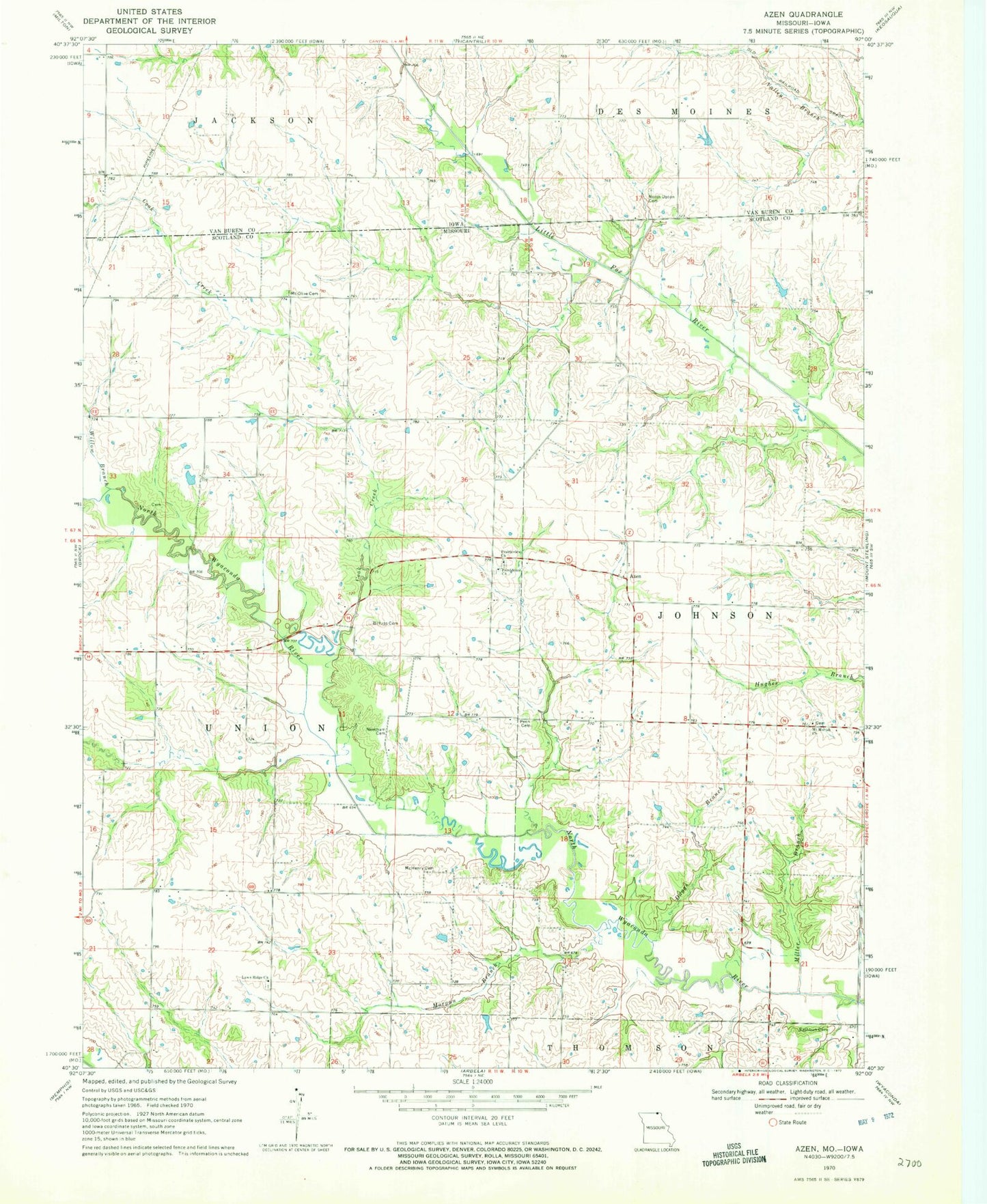
Classic USGS Azen Missouri 7.5'x7.5' Topo Map
Couldn't load pickup availability
Historical USGS topographic quad map of Azen in the states of Missouri, Iowa. Map scale may vary for some years, but is generally around 1:24,000. Print size is approximately 24" x 27"
This quadrangle is in the following counties: Scotland, Van Buren.
The map contains contour lines, roads, rivers, towns, and lakes. Printed on high-quality waterproof paper with UV fade-resistant inks, and shipped rolled.
Contains the following named places: Ansen Lake Dam, Azen, Azen School, Billups Cemetery, Clay Point School, Cook Creek, Daggs Branch, Elm Grove School, Fairview School, Hixon Cemetery, Lawn Ridge, Lawn Ridge Church, Mc Henry Cemetery, Miller Branch, Morgan Branch, Mount Olive Cemetery, Needham Cemetery, North Upton Cemetery, Penn Cemetery, Prairieview Church, Providence Baptist Church, Rathburn Cemetery, South Upton School, Union Grove School, Willow Branch, ZIP Code: 52542