MyTopo
Classic USGS Azle Texas 7.5'x7.5' Topo Map
Couldn't load pickup availability
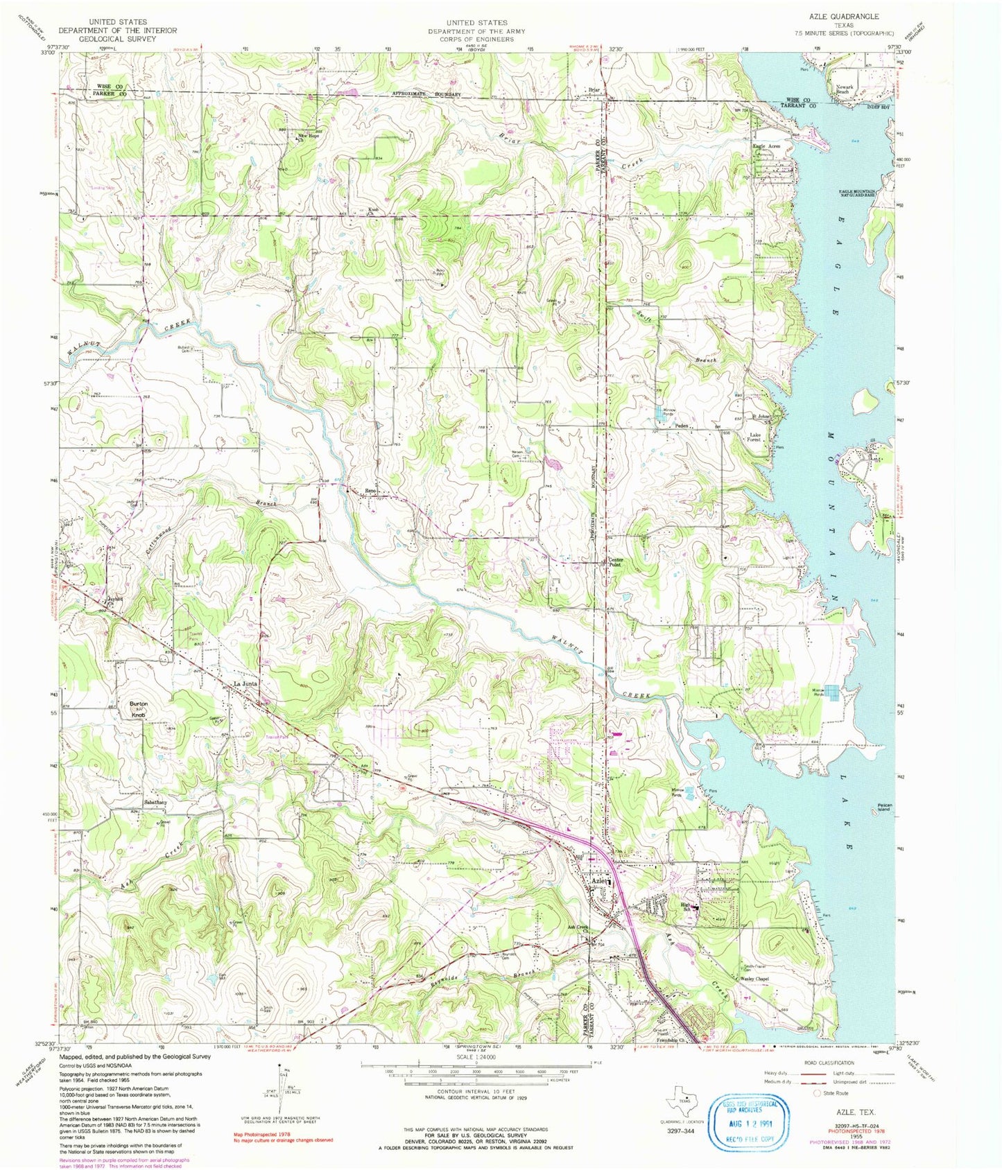
Historical USGS topographic quad map of Azle in the state of Texas. Map scale may vary for some years, but is generally around 1:24,000. Print size is approximately 24" x 27"
This quadrangle is in the following counties: Parker, Tarrant, Wise.
The map contains contour lines, roads, rivers, towns, and lakes. Printed on high-quality waterproof paper with UV fade-resistant inks, and shipped rolled.
Contains the following named places: Ash Creek, Ash Creek Baptist Church, Ash Creek Cemetery, Ash Creek Church, Ash Creek Park, Azle, Azle Church of Christ, Azle City Hall, Azle City Park, Azle Elementary School, Azle Fire Department, Azle High School, Azle Historical Museum, Azle Junior High School South, Azle Police Department, Azle Post Office, Azleland Memorial Park, Boe-Wrinkle Airport, Briar, Briar - Reno Fire Department, Briar Census Designated Place, Briar Creek, Briar Reno Fire Department Station 3, Briar Volunteer Fire Department, Burton Knob, Center Point, City of Azle, City of Pelican Bay, City of Reno, Cottonwood Branch, Cross Timbers Elementary School, Dido Fire Department, Eagle Acres, First Baptist Church, First Baptist Church of Castle Hill, Friendship Church, Hoggard - Reynolds Cemetery, Holy Trinity Catholic Church, Hornet Field, Jay Bird Cemetery, Jaybird Church, Kezer Air Ranch Airport, Knob Church, La Junta, La Junta Church of Christ, La Junta Volunteer Fire Department, Lake Forest, Liberty Elementary School, Moore Private Airport, Nelson Cemetery, New Hope Church, Newark Beach, North Texas Emergency Medical Service, Peden, Pelican Bay, Pelican Bay City Hall, Pelican Bay Police Department, Pelican Island, Reno, Reynolds Branch, Sabathany, Saint Johns Church, Sanctuary, Santo J Forte Junior High School, Smith - Frazier Cemetery, Swift Branch, Texas Health Harris Methodist Hospital Azle, Town of Sanctuary, W E Hoover Elementary School, Walnut Creek, Walnut Creek Elementary School, Wesley Chapel, West Parkway Baptist Church, ZIP Code: 76020


