MyTopo
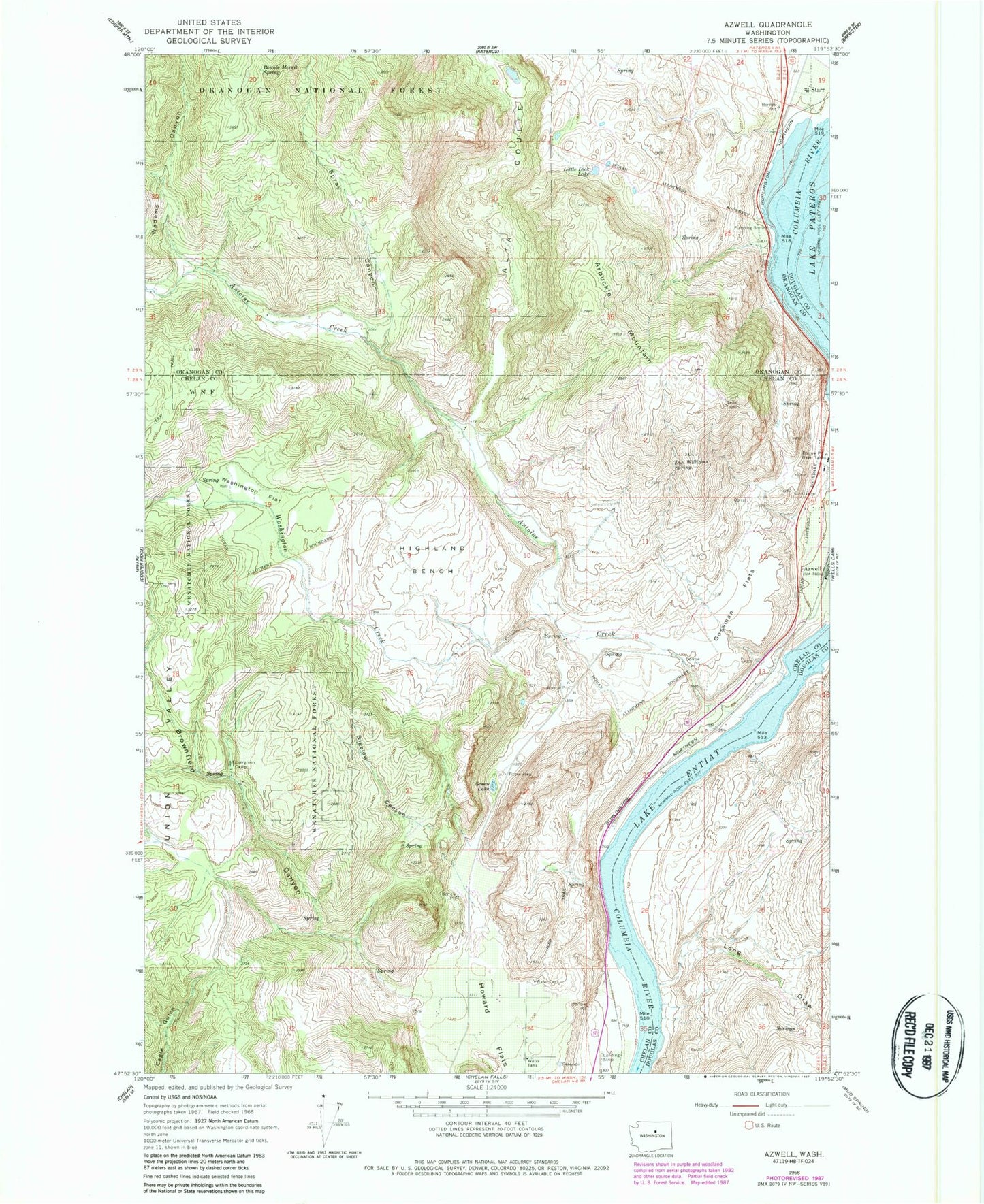
Classic USGS Azwell Washington 7.5'x7.5' Topo Map
Couldn't load pickup availability
Historical USGS topographic quad map of Azwell in the state of Washington. Map scale may vary for some years, but is generally around 1:24,000. Print size is approximately 24" x 27"
This quadrangle is in the following counties: Chelan, Douglas, Okanogan.
The map contains contour lines, roads, rivers, towns, and lakes. Printed on high-quality waterproof paper with UV fade-resistant inks, and shipped rolled.
Contains the following named places: Antoine Creek, Arbuckle Mountain, Azwell, Bigelow Canyon, Bonnie Merrit Spring, Brownfield Canyon, Don Williams Spring, Evergreen Camp, Gossman Flats, Green Lake, Highland Bench, Ice Caves State Park, Little Dick Lake, Long Draw, Meyer Ranch, Riverview Airpark, Spray Canyon, Starr, Starr Station, Union Valley, Wadams Canyon, Washington Creek, Washington Flat


