
MyTopo
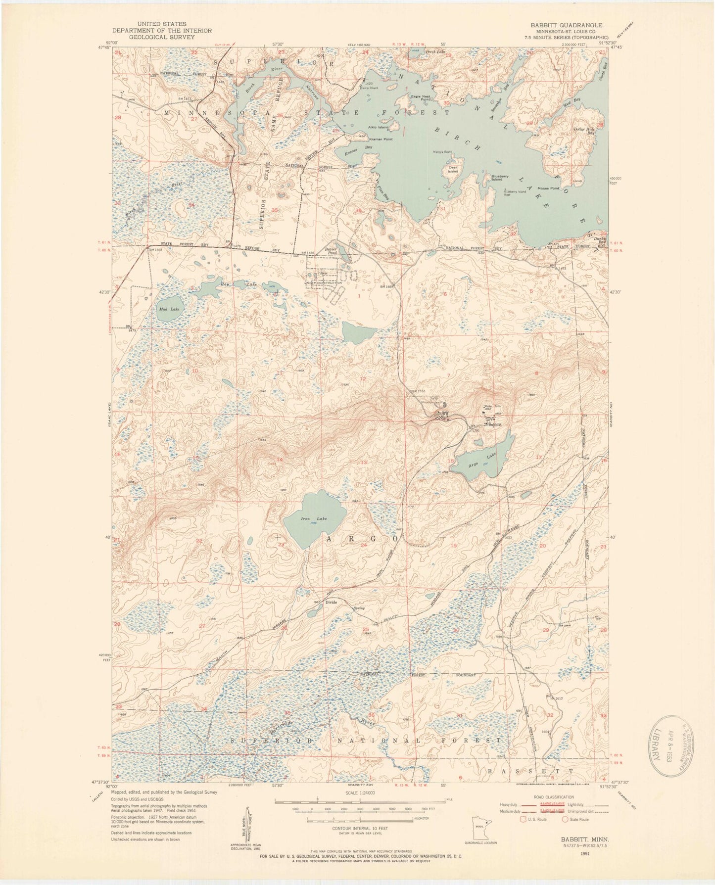
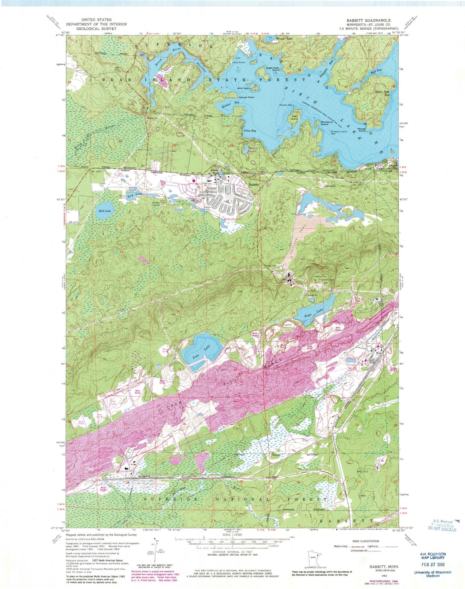
Classic USGS Babbitt Minnesota 7.5'x7.5' Topo Map
Couldn't load pickup availability
Historical USGS topographic quad map of Babbitt in the state of Minnesota. Map scale may vary for some years, but is generally around 1:24,000. Print size is approximately 24" x 27"
This quadrangle is in the following counties: St. Louis.
The map contains contour lines, roads, rivers, towns, and lakes. Printed on high-quality waterproof paper with UV fade-resistant inks, and shipped rolled.
Contains the following named places: Aikio Island, Argo Lake, Babbitt, Babbitt Ambulance Service, Babbitt Assembly of God Church, Babbitt Baptist Church, Babbitt City Hall, Babbitt High School, Babbitt Police Department, Babbitt Post Office, Babbitt Public Library, Babbitt Volunteer Fire Department, Beaver Pond, Birch Lake and Campgrounds, Birch River, Birch River Narrows, Blueberry Island, Blueberry Island Reef, Butterfly Lake, Camp Rivard, City of Babbitt, Deer Island, Dollar Hide Bay, Duluth Clinic-Babbitt, Eagle Nest Point, Evangelical Lutheran Church, Finn Bay, First Test Pit on the Mesabi Historical Marker, Good Shepherd Lutheran Church, Hay Lake, Iron Lake, Kramer Bay, Kramer Point, Marsyla Reef, Minnow Lake, Moose Point, Mud Lake, Saint Pius Catholic Church, Snowshoe Bay, West Bay, Whisper Lake, Woodland Presbyterian Church, Yelp Creek, ZIP Code: 55706