MyTopo
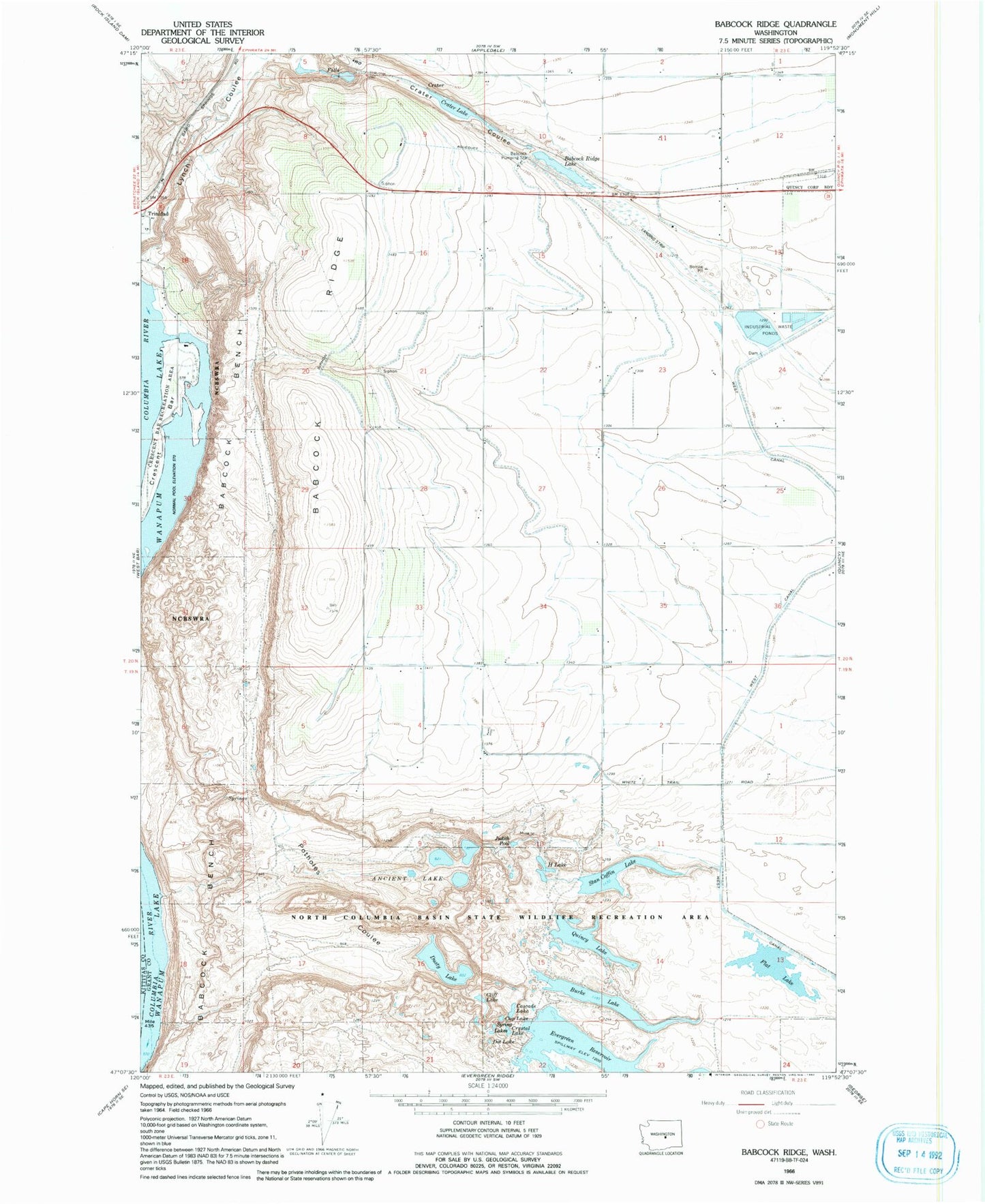
Classic USGS Babcock Ridge Washington 7.5'x7.5' Topo Map
Couldn't load pickup availability
Historical USGS topographic quad map of Babcock Ridge in the state of Washington. Typical map scale is 1:24,000, but may vary for certain years, if available. Print size: 24" x 27"
This quadrangle is in the following counties: Grant, Kittitas.
The map contains contour lines, roads, rivers, towns, and lakes. Printed on high-quality waterproof paper with UV fade-resistant inks, and shipped rolled.
Contains the following named places: Ancient Lake, Babcock Ridge, Babcock Ridge Lake, Burke Lake, Cascade Lake, Cliff Lake, Crater Lake, Crescent Bar, Crescent Bar Recreational Area, Crystal Lake, Cup Lake, Dot Lake, Dusty Lake, Flat Lake, H Lake, Judith Pool, Potholes Coulee, Quincy Lake, Spring Lakes, Stan Coffin Lake, Evergreen Reservoir, Crater, Lynch Coulee, Babcock Pumping Station, Quincy Flying Service, Crescent Bar Resort and Golf Course, Crescent Bar, Crescent Bar Census Designated Place