MyTopo
Classic USGS Baboquivari Peak Arizona 7.5'x7.5' Topo Map
Couldn't load pickup availability
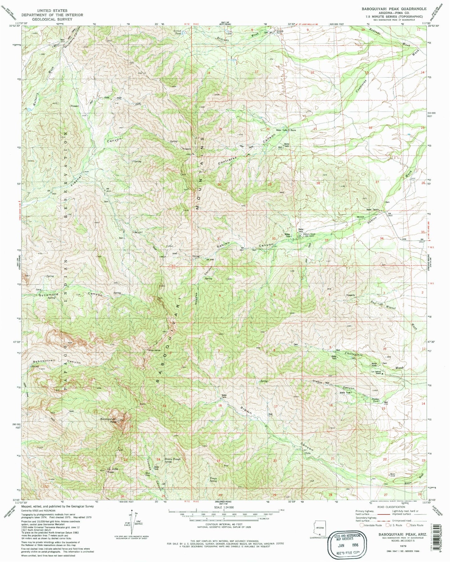
Historical USGS topographic quad map of Baboquivari Peak in the state of Arizona. Typical map scale is 1:24,000, but may vary for certain years, if available. Print size: 24" x 27"
This quadrangle is in the following counties: Pima.
The map contains contour lines, roads, rivers, towns, and lakes. Printed on high-quality waterproof paper with UV fade-resistant inks, and shipped rolled.
Contains the following named places: Baboquivari Canyon, Baboquivari Mountains, Baboquivari Peak, Broken Trough Spring, Brown Canyon, Contreras Canyon, Diablo Canyon, Diablo Tank, Elkhorn Ranch, La Jolla Peak, Las Delicias Ranch, Max Seep, Mulberry Canyon, Nogales Canyon, Redondo Ranch, Redondo Wash, Sabino Canyon, Tinaja Spring, Virtud Tank, Baboquivari Peak Wilderness, Itois Eyes, Brown Canyon Natural Bridge