
MyTopo
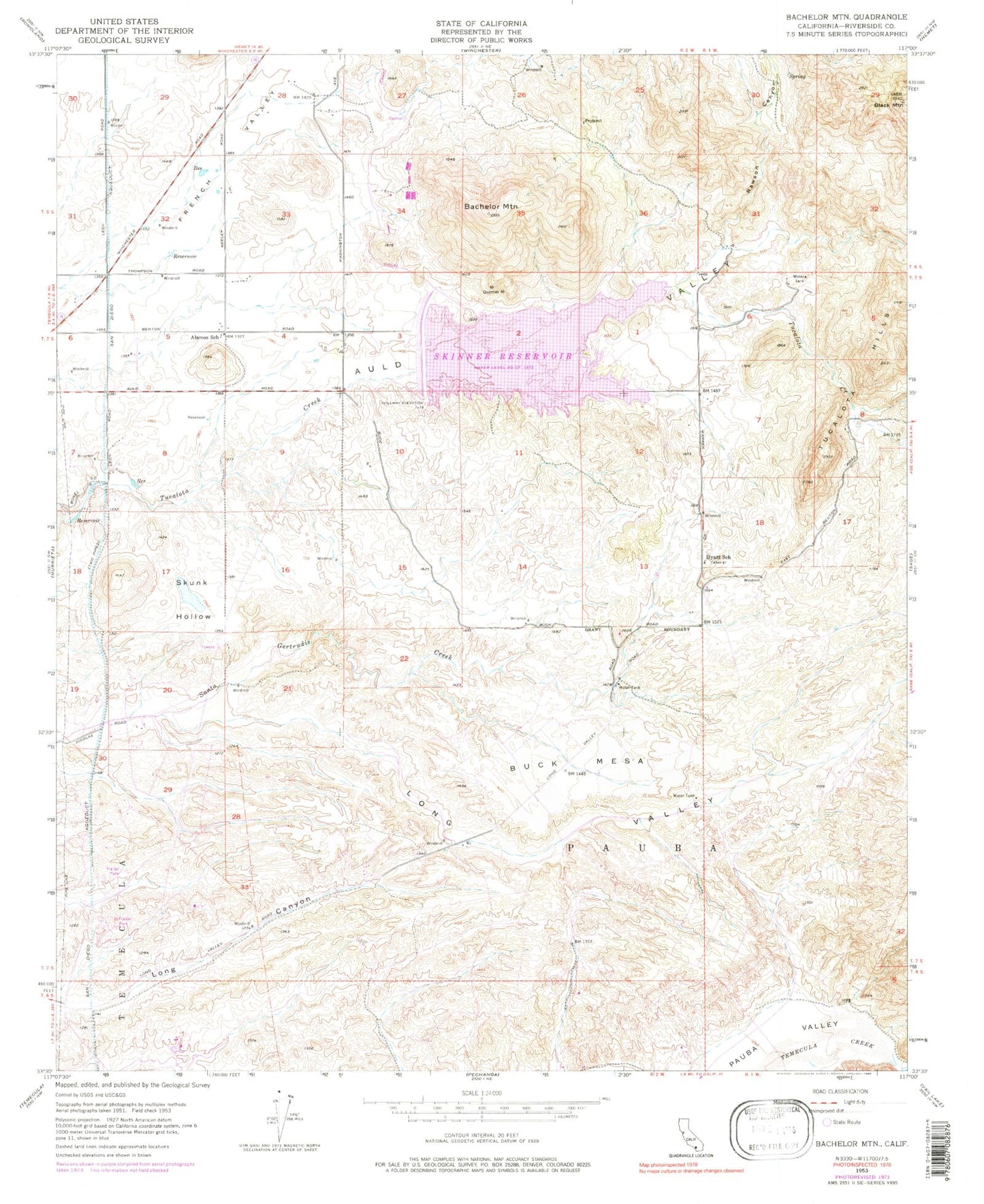
Classic USGS Bachelor Mountain California 7.5'x7.5' Topo Map
Couldn't load pickup availability
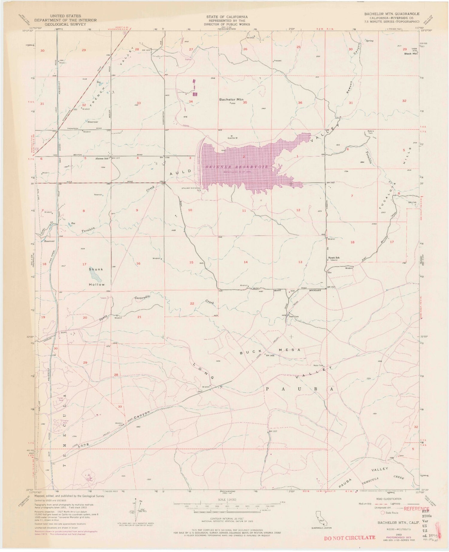
Historical USGS topographic quad map of Bachelor Mountain in the state of California. Typical map scale is 1:24,000, but may vary for certain years, if available. Print size: 24" x 27"
This quadrangle is in the following counties: Riverside.
The map contains contour lines, roads, rivers, towns, and lakes. Printed on high-quality waterproof paper with UV fade-resistant inks, and shipped rolled.
Contains the following named places: Alamos School, Auld Valley, Bachelor Mountain, Black Mountain, Hyatt School, Long Valley, Rawson Canyon, Skinner Reservoir, Skunk Hollow, Tucalota Hills, Pauba, Billy Joe Airport, Buck Mesa, Robert A Skinner 35-012 Dam, Auld (historical), Aprils Vineyard, Bell Ranch Vineyards, Britton Cellars Winery, Canyon Chabusco Horse Area, Country Road Estates, Dutch Village, Glenoaks Country, Heritage Mobile Home Park, High Acres Haciendas, Indian Oaks, Lake Skinner County Park, Linfield Christian High School, Mesa Verde Winery, Mount Palomar Vineyards, New Community Lutheran Church, Palomar Village Shopping Center, Parlenbar Vineyards, Piconi Winery, Rancho Elmentary School, Rancho Vista High School, Rolling Hills Ranch, South Park, Temecula Valley High School, Temecula Valley Vineyards, Valle de los Caballos, Veterans Park, Murrieta Division, Saint Jeanne de Lestonnac School, At Your Pace Education Center, French Valley Census Designated Place, Riverside County Fire Department Station 96 Glen Oaks, Riverside County Sheriff's Department - Southwest Station, Temecula Post Office