MyTopo
Classic USGS Bacona Oregon 7.5'x7.5' Topo Map
Couldn't load pickup availability
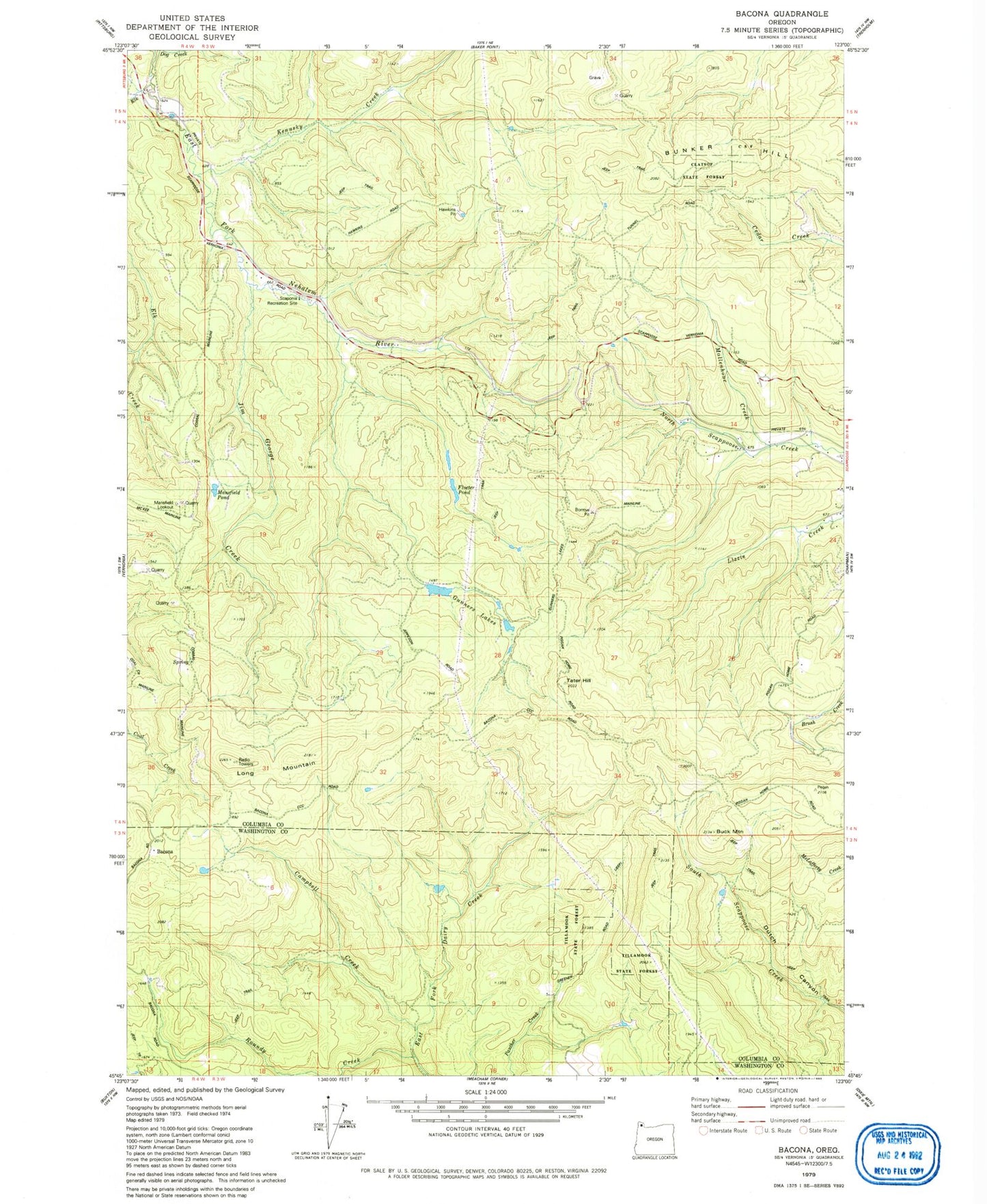
Historical USGS topographic quad map of Bacona in the state of Oregon. Map scale may vary for some years, but is generally around 1:24,000. Print size is approximately 24" x 27"
This quadrangle is in the following counties: Columbia, Washington.
The map contains contour lines, roads, rivers, towns, and lakes. Printed on high-quality waterproof paper with UV fade-resistant inks, and shipped rolled.
Contains the following named places: Bacona, Buck Mountain, Bunker Hill, Campbell Creek, Dog Creek, Floeter Pond, Greener Road Trail, Gunners Lakes, Hawkins Pit, Heller Reservoir, Jim George Creek, Kenusky Creek, Long Mountain, Mansfield Lookout, Mansfield Pond, Mollenhour Creek, Pisgah Lookout, Roundy Creek, Scaponia Campground, Tater Hill, Wilark Post Office