
MyTopo
Classic USGS Baconton North Georgia 7.5'x7.5' Topo Map
Couldn't load pickup availability
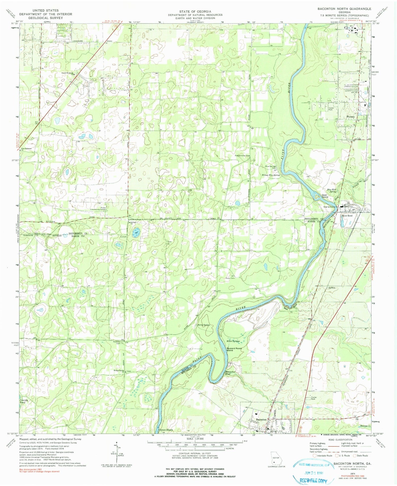
Historical USGS topographic quad map of Baconton North in the state of Georgia. Map scale may vary for some years, but is generally around 1:24,000. Print size is approximately 24" x 27"
This quadrangle is in the following counties: Baker, Dougherty, Mitchell.
The map contains contour lines, roads, rivers, towns, and lakes. Printed on high-quality waterproof paper with UV fade-resistant inks, and shipped rolled.
Contains the following named places: Baconton, Baconton Post Office, Baconton Volunteer Fire Department, Berry Spring, Bethel Church, Blue Hole Spring, Blue Springs Cemetery, Buzzard Roost Island, City of Baconton, Cowan Shoals, Davis Cemetery, DeWitt, Dry Creek, Ephesus Church, First Baptist Church, First Bethesda Church, Goat Island, Hard Up Cemetery, Horseshoe Bend, Miller Springs, Pleasant Grove Church, Potter Community Center, Putney Post Office, Red Bluff, River Bend, Saint James Chuch, Second Bethesda Church, Weldon Spring Church, Wilson Blue Spring


