MyTopo
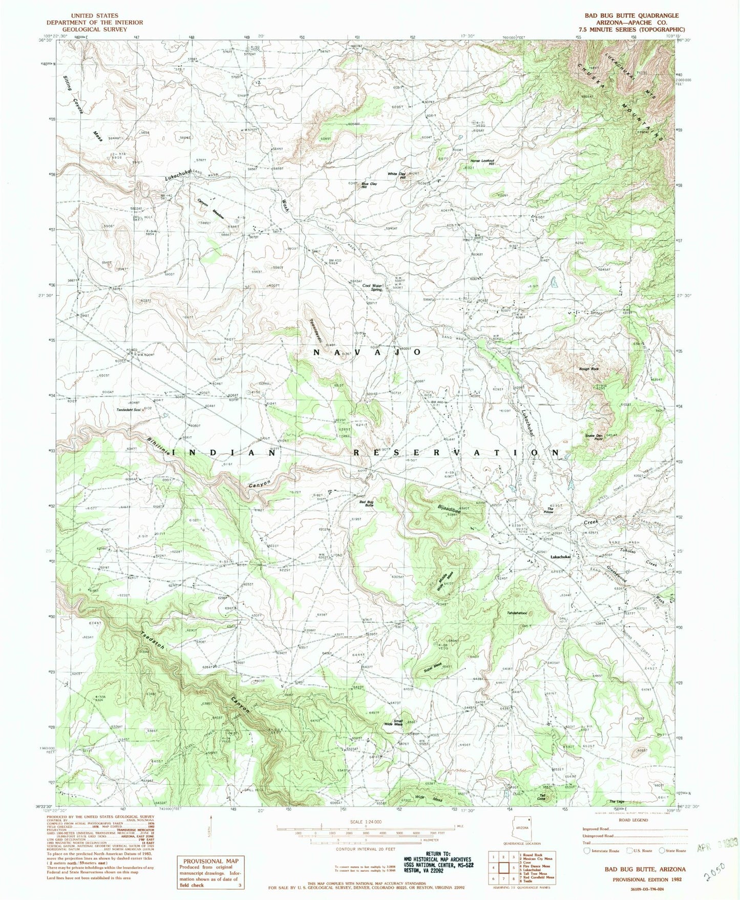
Classic USGS Bad Bug Butte Arizona 7.5'x7.5' Topo Map
Couldn't load pickup availability
Historical USGS topographic quad map of Bad Bug Butte in the state of Arizona. Map scale may vary for some years, but is generally around 1:24,000. Print size is approximately 24" x 27"
This quadrangle is in the following counties: Apache.
The map contains contour lines, roads, rivers, towns, and lakes. Printed on high-quality waterproof paper with UV fade-resistant inks, and shipped rolled.
Contains the following named places: Bad Bug Butte, Bijaadibae, Blue Clay Hill, Canyon Meadow, Cool Water Spring, Greasewood Wash, Horse Lookout Hill, Lukachukai Airport, Lukachukai Post Office, Middle Wide Mesa, Rough Rock, Sitting Coyote Mesa, Small Wide Mesa, Snake Den Point, Supai Mesa, Tahdahatooc, Tall Cone, The Pillow, Tohotso Creek, Toohidazdii, Tsedadahot Sosi, White Clay Hill, Wide Mesa, ZIP Code: 86507