MyTopo
Classic USGS Bader Draw Wyoming 7.5'x7.5' Topo Map
Regular price
$16.95
Regular price
Sale price
$16.95
Unit price
per
Couldn't load pickup availability
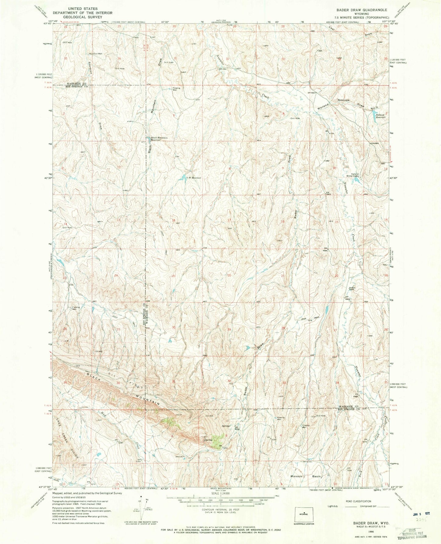
Historical USGS topographic quad map of Bader Draw in the state of Wyoming. Map scale may vary for some years, but is generally around 1:24,000. Print size is approximately 24" x 27"
This quadrangle is in the following counties: Hot Springs, Washakie.
The map contains contour lines, roads, rivers, towns, and lakes. Printed on high-quality waterproof paper with UV fade-resistant inks, and shipped rolled.
Contains the following named places: Arnold Dam, Arnold Reservoir, Bader Draw, Black Mountain, Black Mountain Reservoir, Buck Creek, Cottonwood Draw, Holland Reservoir, Holland Winter Camp, Scorpion Well, Seaman Ranch, V W Reservoir, Worland Nowood Draw Number 4