MyTopo
Classic USGS Badger Hole Spring Nevada 7.5'x7.5' Topo Map
Regular price
$16.95
Regular price
Sale price
$16.95
Unit price
per
Couldn't load pickup availability
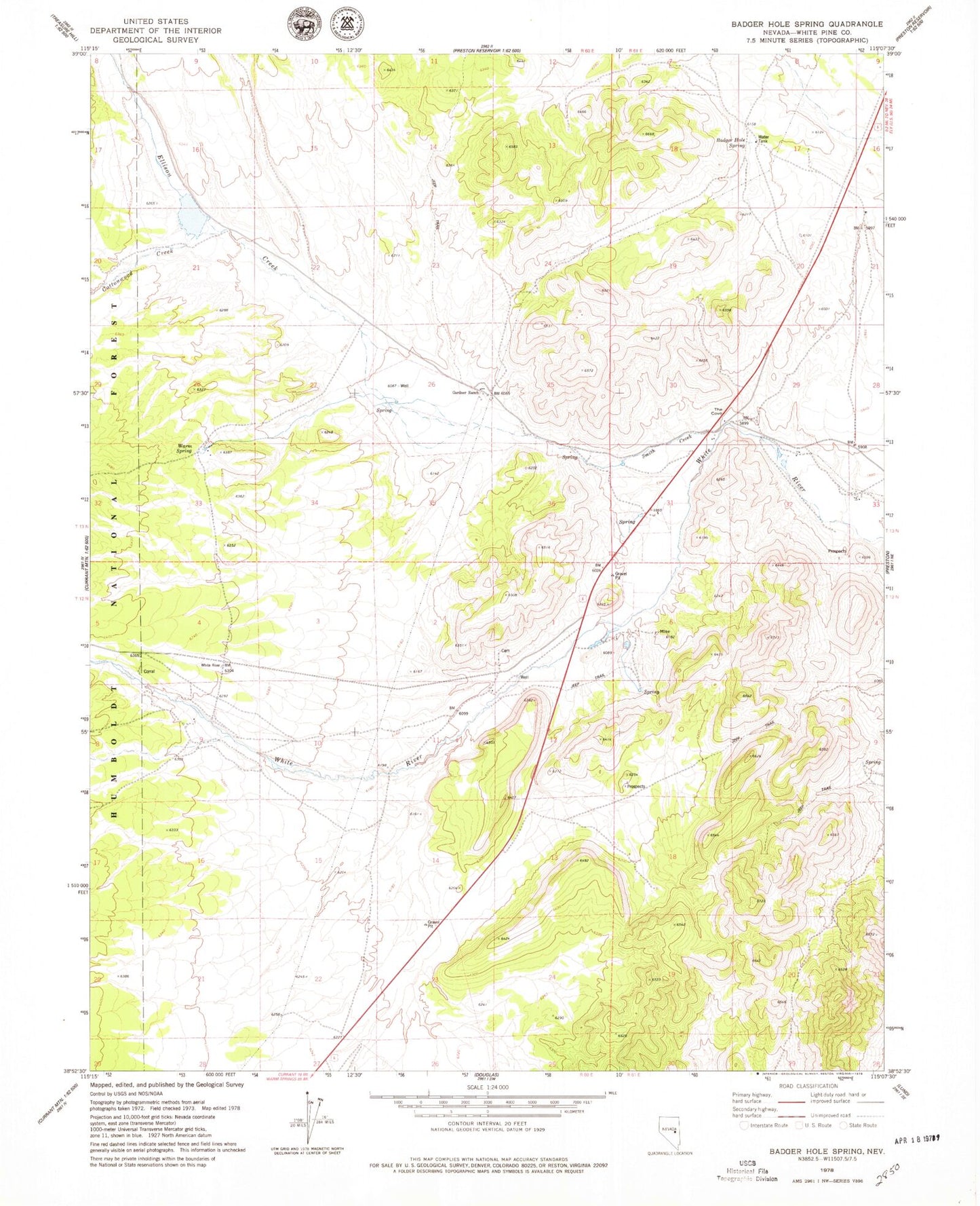
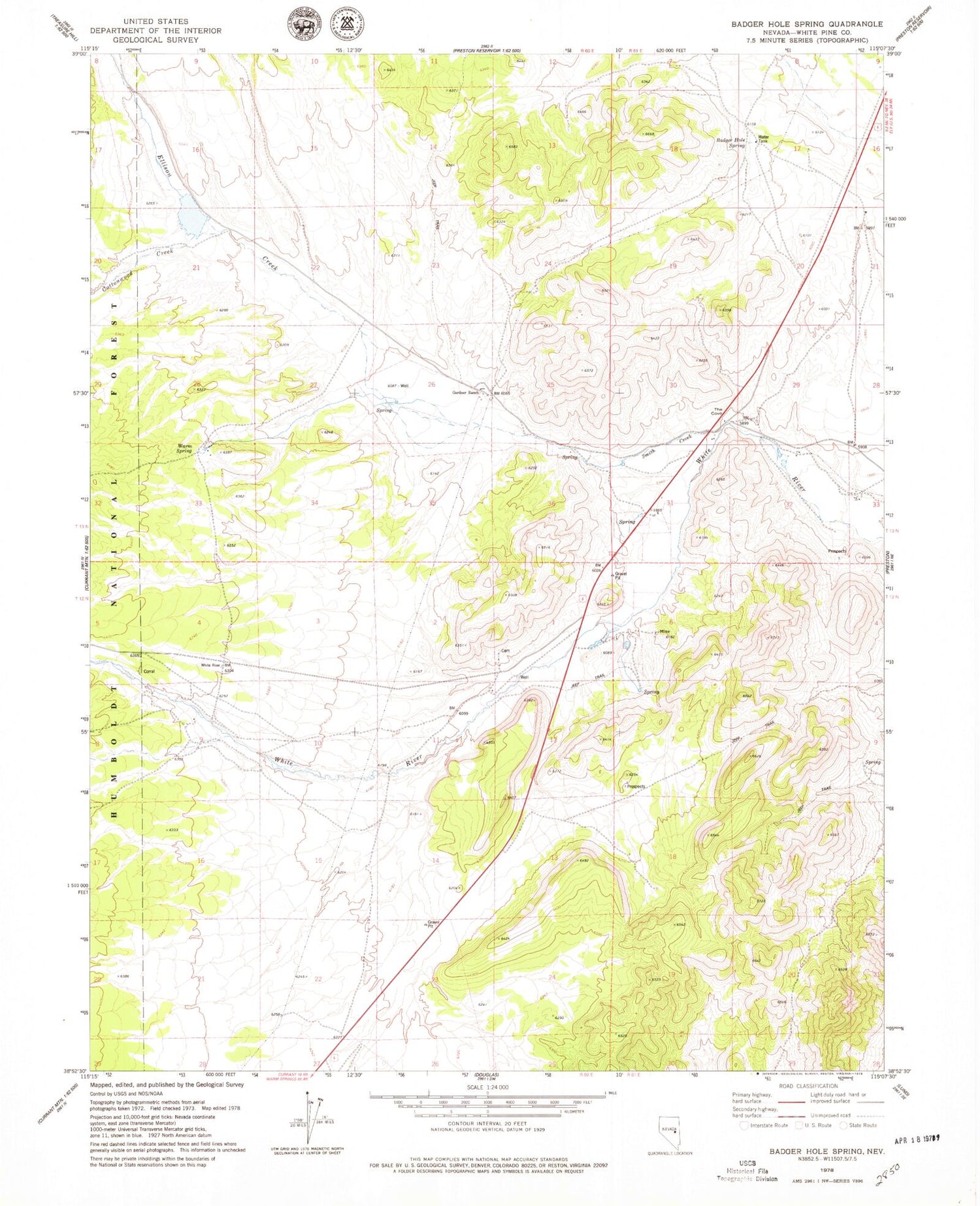
Historical USGS topographic quad map of Badger Hole Spring in the state of Nevada. Map scale may vary for some years, but is generally around 1:24,000. Print size is approximately 24" x 27"
This quadrangle is in the following counties: White Pine.
The map contains contour lines, roads, rivers, towns, and lakes. Printed on high-quality waterproof paper with UV fade-resistant inks, and shipped rolled.
Contains the following named places: Badger Hole Spring, Barnes, Barnes Post Office, Cottonwood Creek, Davis Ranch, Ellison Creek, Gardner Ranch, Lund Township, Smith Creek, Stockville, Stockville Post Office, The Cove, Warm Spring, Windous Butte, Windous Mine