MyTopo
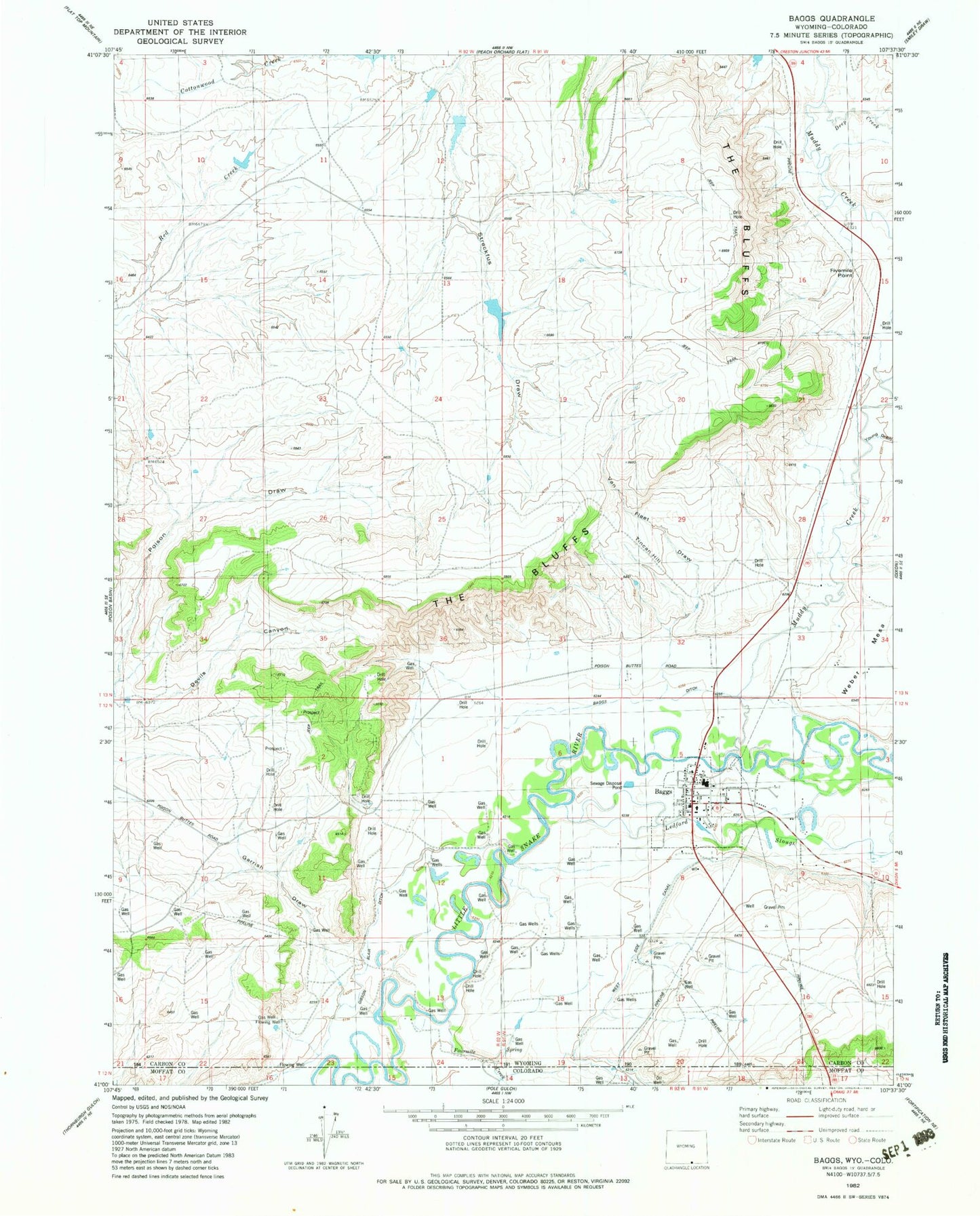
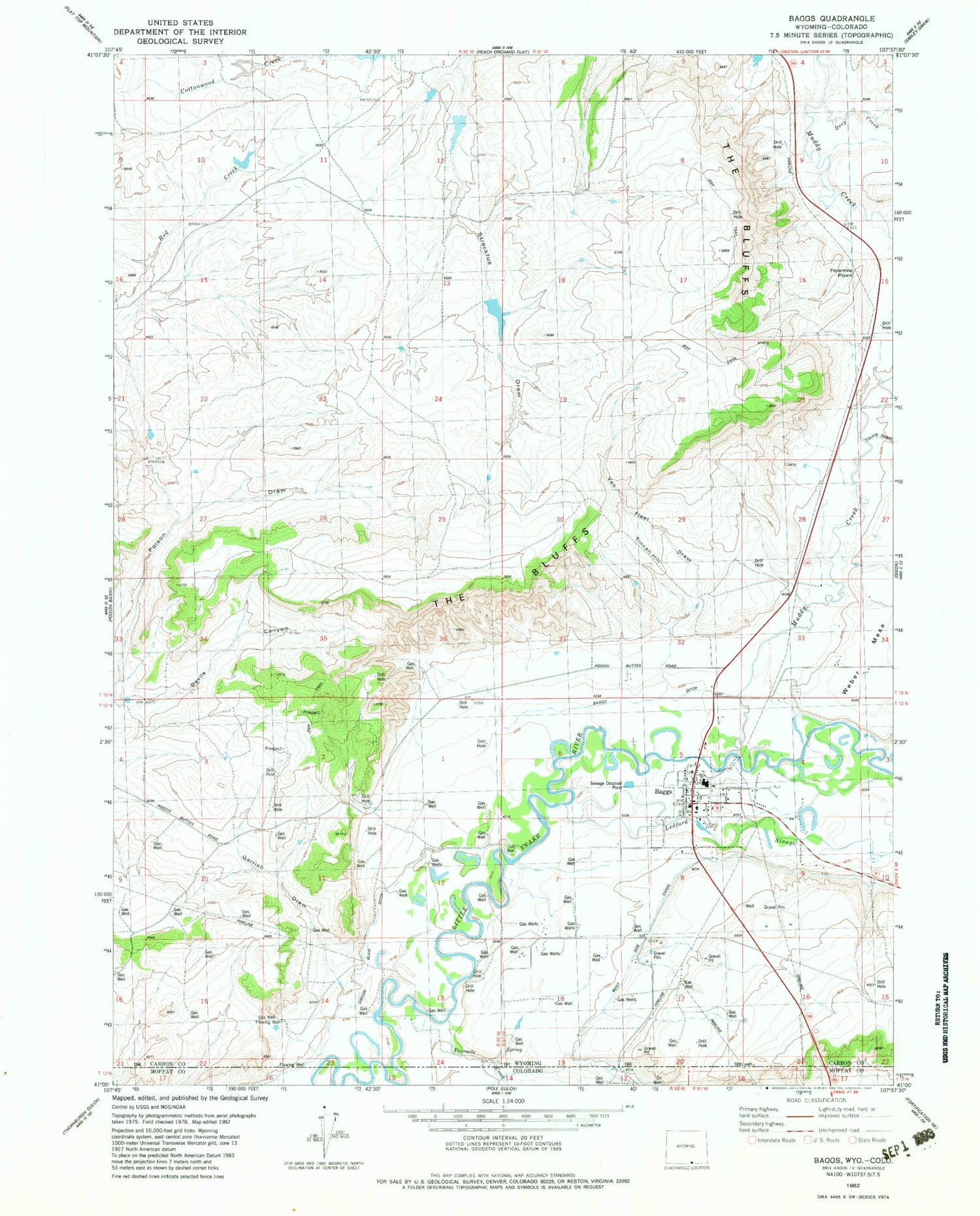
Classic USGS Baggs Wyoming 7.5'x7.5' Topo Map
Couldn't load pickup availability
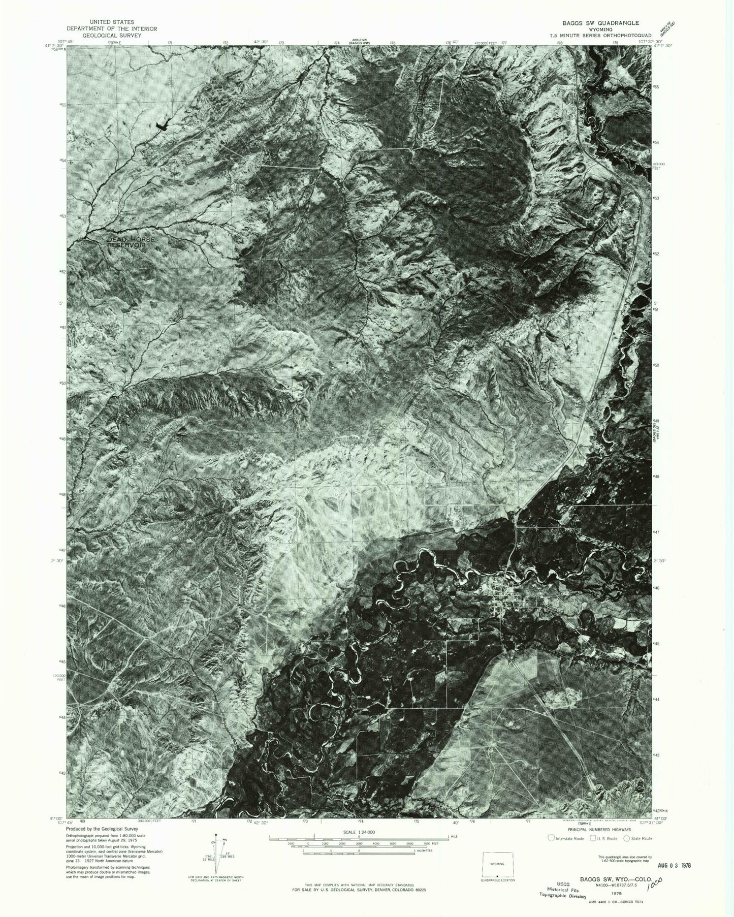
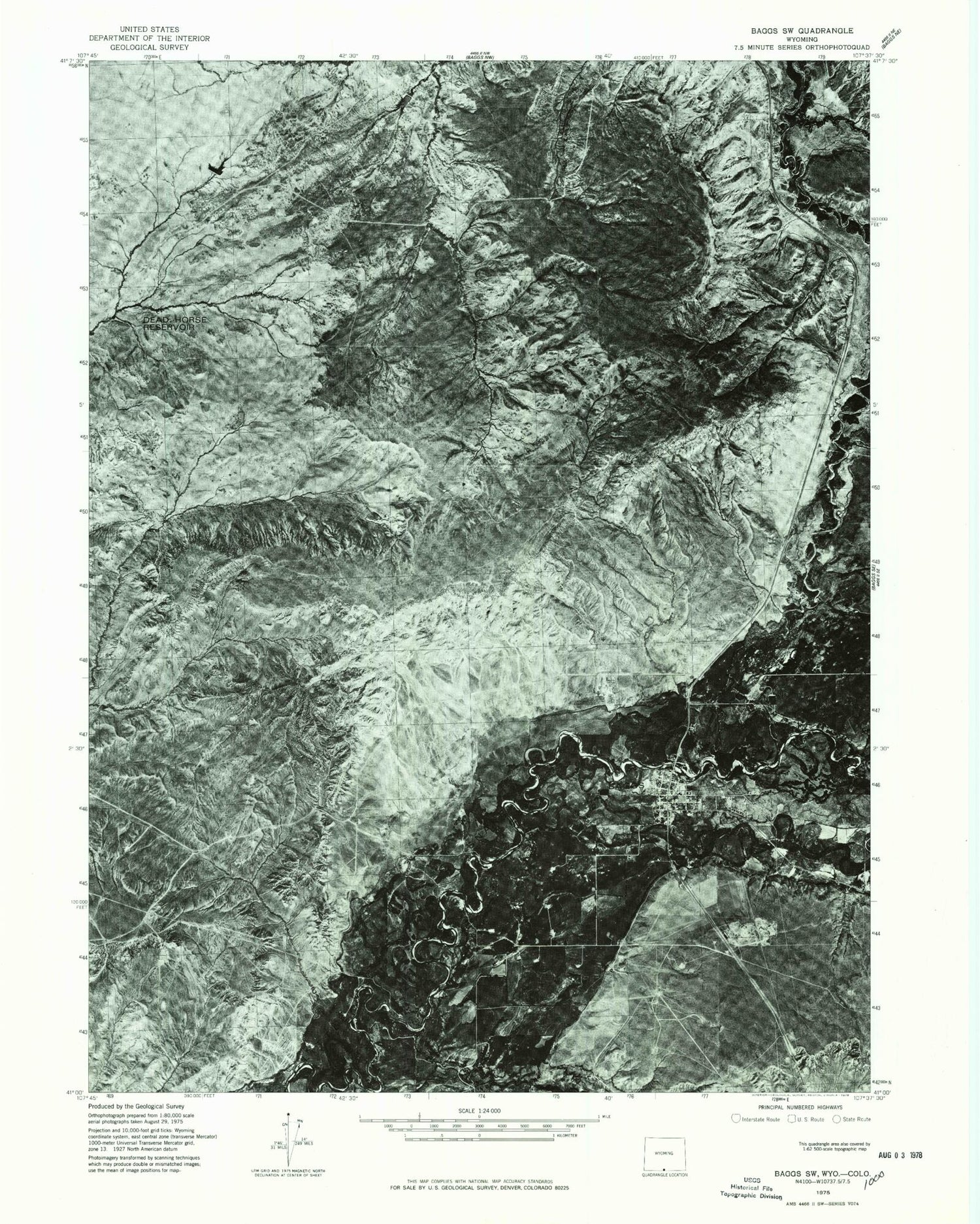
Historical USGS topographic quad map of Baggs in the states of Wyoming, Colorado. Map scale may vary for some years, but is generally around 1:24,000. Print size is approximately 24" x 27"
This quadrangle is in the following counties: Carbon, Moffat.
The map contains contour lines, roads, rivers, towns, and lakes. Printed on high-quality waterproof paper with UV fade-resistant inks, and shipped rolled.
Contains the following named places: Baggs, Baggs Cemetery, Baggs Ditch, Baggs Post Office, Baggs Town Police Department, Baggs Volunteer Fire Department, Dead Horse Reservoir, Deep Creek, Detention Dam 1392 Number 2, Detention Dam 1392 Number 4, Devils Canyon, Fivemile Point, Fourmile Creek, Garrish Draw, Gibson Blair Ditch, Ledford Slough, Little Snake River Emergency Medical Services, Little Snake River Valley Elementary School, Little Snake River Valley High School, Muddy Creek, Streckfus Draw, The Bluffs, Tincan Hill, Town of Baggs, Van Fleet Draw, Weber Mesa, West Side Canal