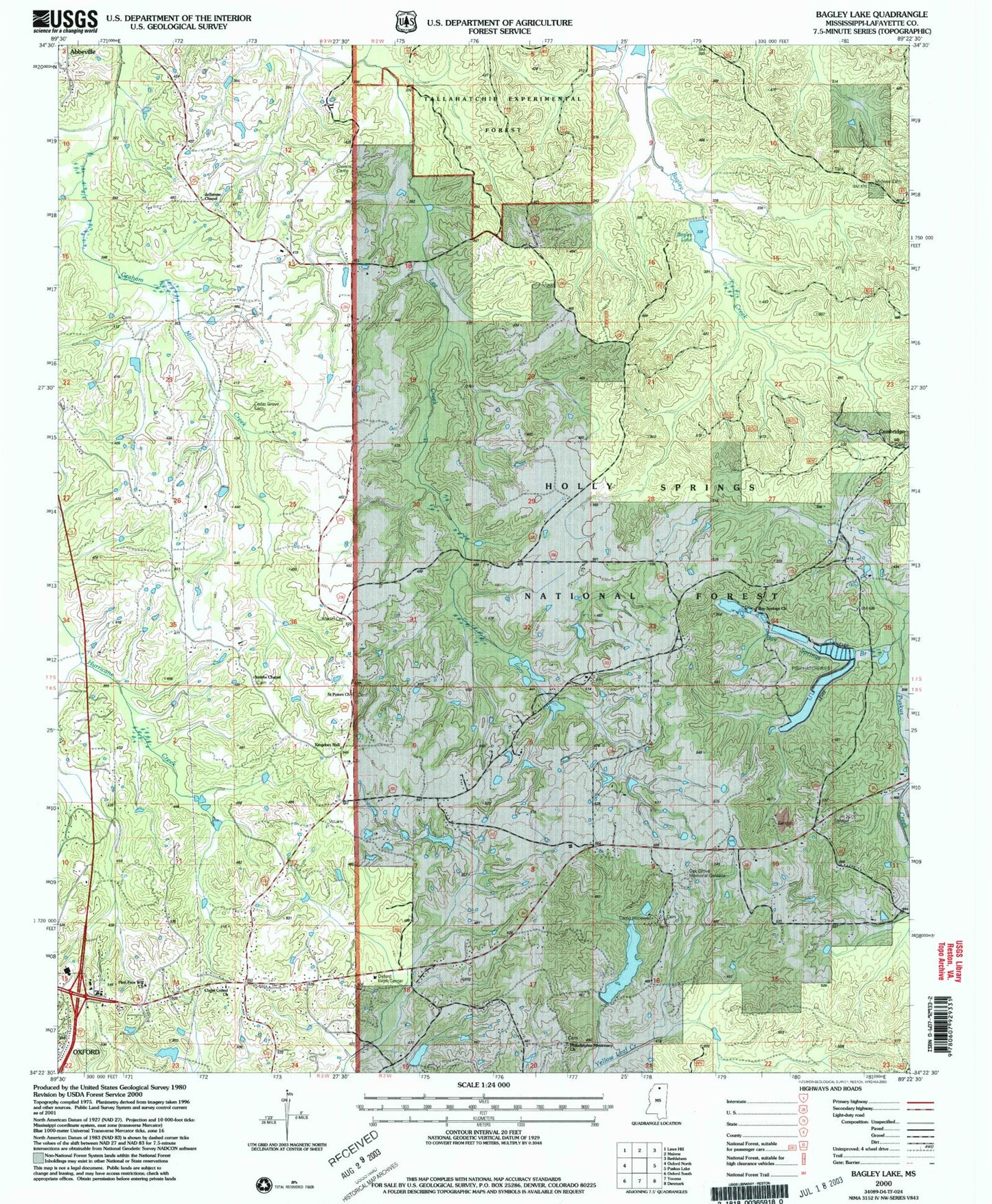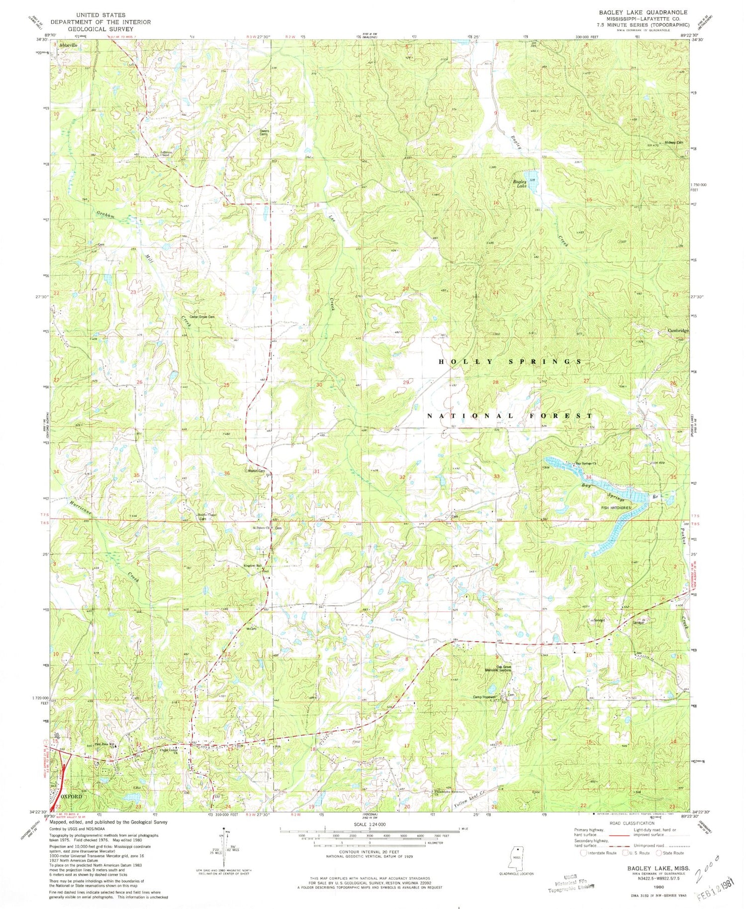
MyTopo
Classic USGS Bagley Lake Mississippi 7.5'x7.5' Topo Map
Couldn't load pickup availability
Historical USGS topographic quad map of Bagley Lake in the state of Mississippi. Map scale is 1:24000. Print size is approximately 24" x 27"
This quadrangle is in the following counties: Lafayette.
The map contains contour lines, roads, rivers, towns, and lakes. Printed on high-quality waterproof paper with UV fade-resistant inks, and shipped rolled.
Contains the following named places: Adams Store (historical), Anderson Chapel (historical), Avent Lake Dam, Bagley Lake, Bay Springs Branch, Bay Springs Church, Brazil Lake Dam, Cambridge School, Camp Hopewell, Cedar Grove Cemetery, Christ United Church, Corner Church (historical), Corner School, Cullen School (historical), First Free Will Baptist Church, Greenville Church, Greenville School, Gunter Lake Dam, Holder School (historical), Hopewell Church, Hopewell School, Jefferson Chapel, Jefferson School, Kingdom Hall, Lafayette County Fire Department Station 2 Highway 30, Little John Store (historical), LT 15-1 Dam, Martin Cemetery, Midway Cemetery, Midway Church, Mitchells School (historical), Oak Grove Memorial Gardens, Owens Cemetery, Oxford Elementary School, Oxford Work Center, Philadelphia Missionary Church, Philadelphia School, Saint Peters Church, Smiths Chapel, Stuart Lake Dam, Tidwell School (historical), Violet Hill School (historical), Woodland Hills Estates