MyTopo
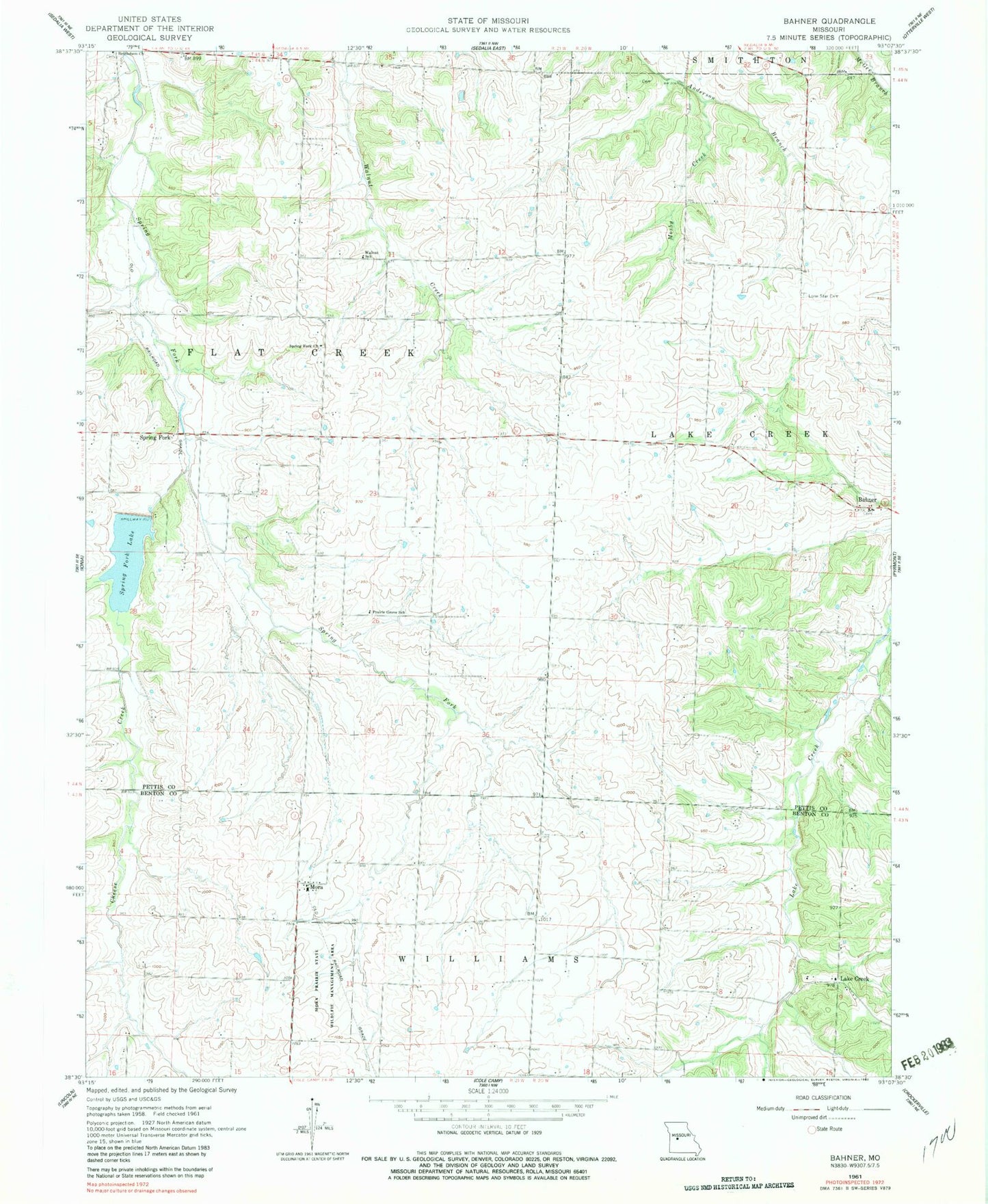
Classic USGS Bahner Missouri 7.5'x7.5' Topo Map
Couldn't load pickup availability
Historical USGS topographic quad map of Bahner in the state of Missouri. Map scale may vary for some years, but is generally around 1:24,000. Print size is approximately 24" x 27"
This quadrangle is in the following counties: Benton, Pettis.
The map contains contour lines, roads, rivers, towns, and lakes. Printed on high-quality waterproof paper with UV fade-resistant inks, and shipped rolled.
Contains the following named places: Bahner, Bethlehem Baptist Church Cemetery, Cheese Creek, Daum Lake Dam, Dumpville, Lake Creek, Lake Creek School, Lone Star Cemetery, Lone Star School, Mora, Mora School, Mosby Creek, Pacific School, Prairie Grove School, Spring Fork, Spring Fork Church, Spring Fork Lake, Spring Fork Lake Dam, Township of Flat Creek, Walnut School, ZIP Code: 65345