MyTopo
Classic USGS Baie de Wasai Michigan 7.5'x7.5' Topo Map
Couldn't load pickup availability
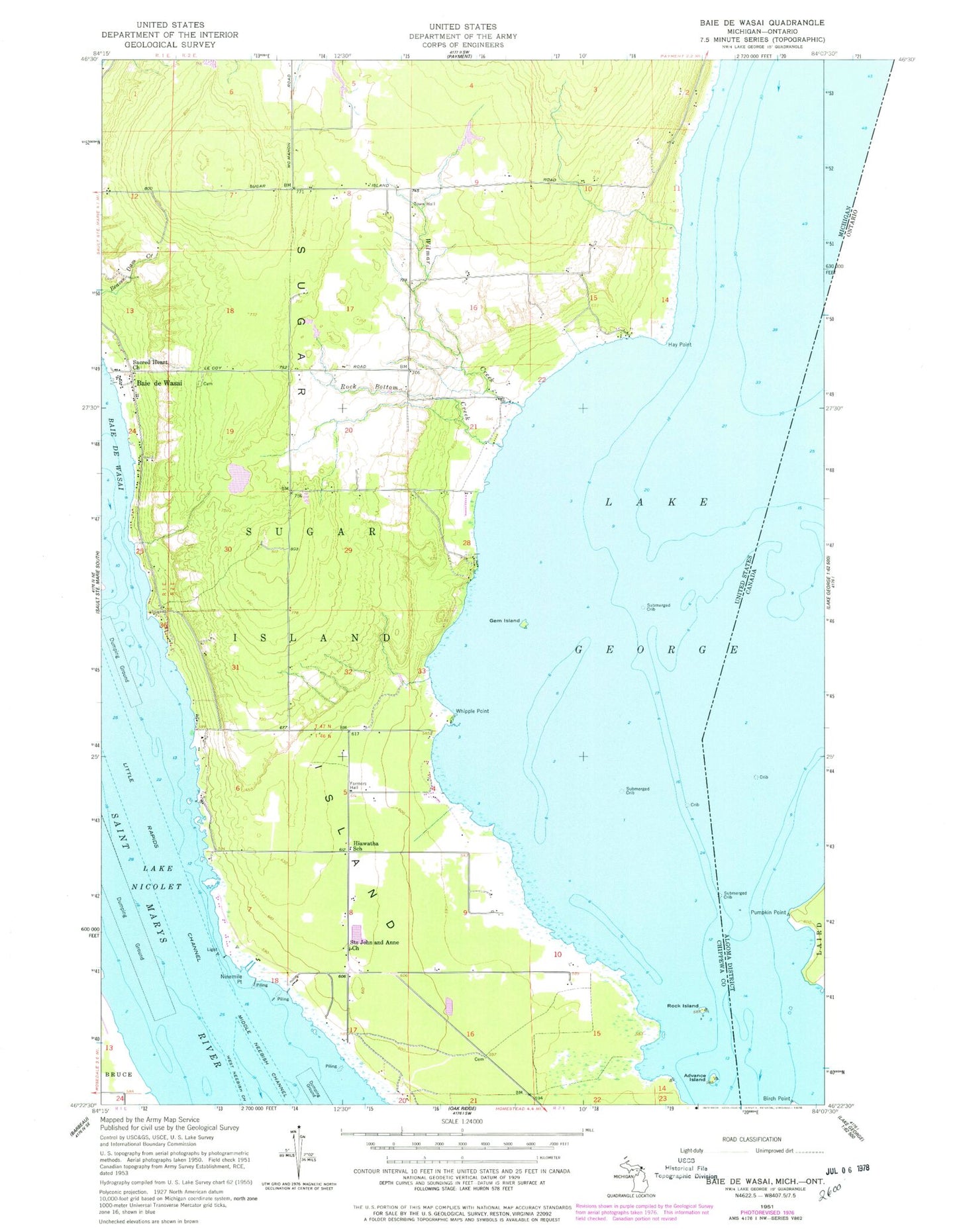
Historical USGS topographic quad map of Baie de Wasai in the state of Michigan. Typical map scale is 1:24,000, but may vary for certain years, if available. Print size: 24" x 27"
This quadrangle is in the following counties: Chippewa.
The map contains contour lines, roads, rivers, towns, and lakes. Printed on high-quality waterproof paper with UV fade-resistant inks, and shipped rolled.
Contains the following named places: Advance Island, Baie de Wasai, Farmers Hall, Gem Island, Hay Point, Hiawatha School, Lake Nicolet, Ninemile Point, Rock Bottom Creek, Rock Island, Sacred Heart Church, Saints John and Anne Church, Sugar Island, Whipple Point, Wilmar Creek, Sugar Island Leading Light, Little Rapids Channel, Lake George, WCMZ-FM (Sault Sainte Marie), Township of Sugar Island, Baie de Wasai Post Office (historical), Wilwalk Cemetery, Gem Island Cemetery, Finnish Cemetery, Bai - De - Wasai Cemetery, Sault Sainte Marie Reservation, Sugar Island Ambulance Corporation / Sugar Island Volunteer Fire Department