MyTopo
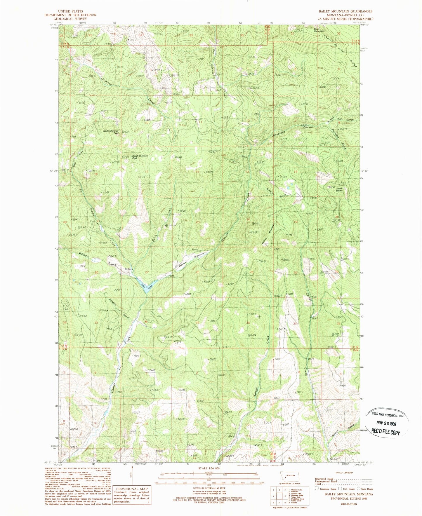
Classic USGS Bailey Mountain Montana 7.5'x7.5' Topo Map
Couldn't load pickup availability
Historical USGS topographic quad map of Bailey Mountain in the state of Montana. Map scale may vary for some years, but is generally around 1:24,000. Print size is approximately 24" x 27"
This quadrangle is in the following counties: Powell.
The map contains contour lines, roads, rivers, towns, and lakes. Printed on high-quality waterproof paper with UV fade-resistant inks, and shipped rolled.
Contains the following named places: 11N03W15CBCC01 Well, 11N03W16CCCB01 Well, Bailey Mountain, Bobcat Gulch, Buckskin Gulch, D'Alton Gulch, Deer Creek, Devil Mountain, Elk Swamp Creek, Fourth of July Ridge, Garnet Range, Gordon Gulch, Immaculate Conception Cemetery, Kelley Creek, Limestone Canyon, Little Baldy, Lost Creek, MacIver Meadow, Miller Lake, Miller Lake Dam, North Chimney Peak, Salt Gulch, South Chimney Peak, Tewfel Gulch, Wisner Gulch


