MyTopo
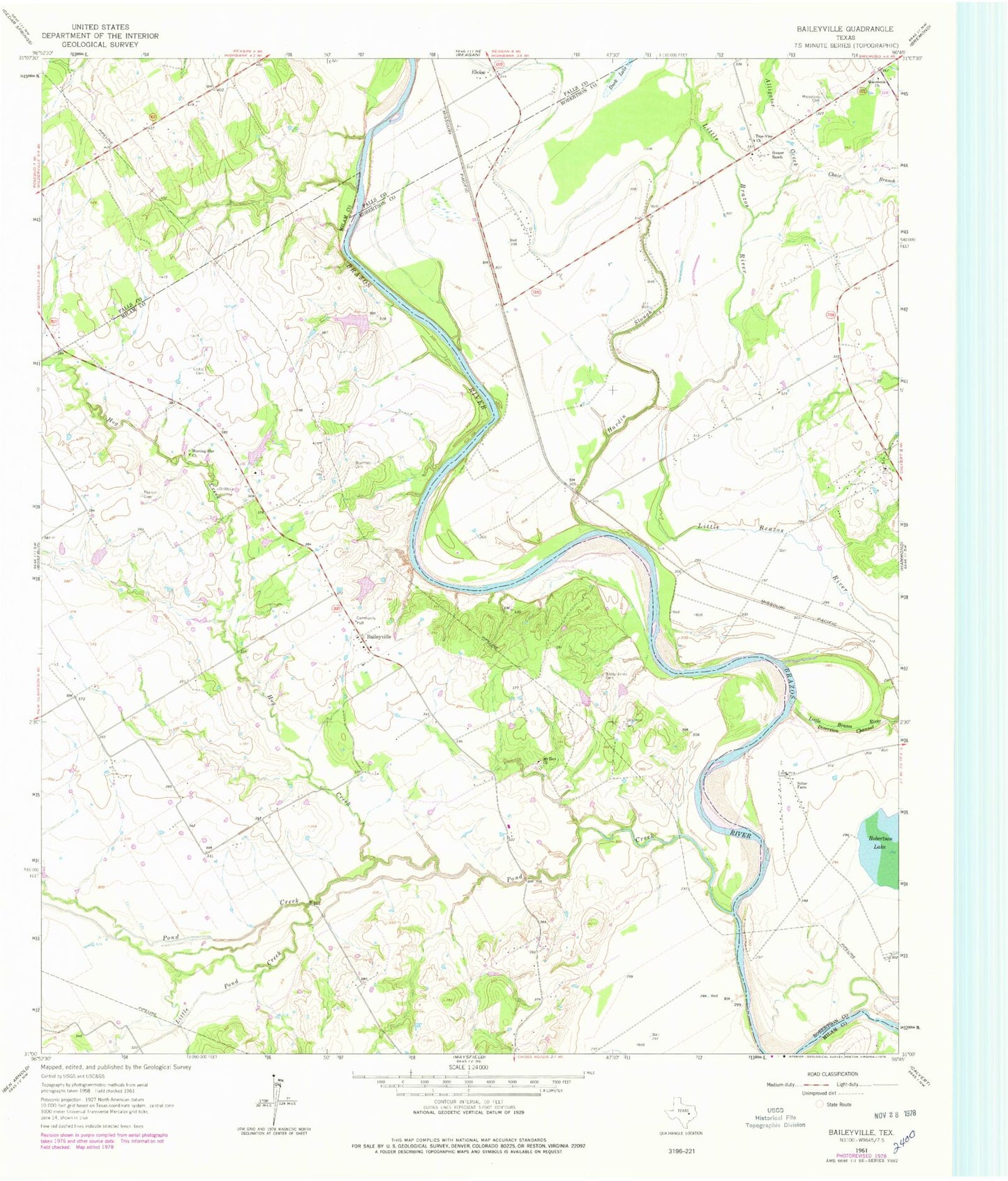
Classic USGS Baileyville Texas 7.5'x7.5' Topo Map
Couldn't load pickup availability
Historical USGS topographic quad map of Baileyville in the state of Texas. Map scale may vary for some years, but is generally around 1:24,000. Print size is approximately 24" x 27"
This quadrangle is in the following counties: Falls, Milam, Robertson.
The map contains contour lines, roads, rivers, towns, and lakes. Printed on high-quality waterproof paper with UV fade-resistant inks, and shipped rolled.
Contains the following named places: Allday - Jones Cemetery, Alligator Creek, Baileyville, Bozeman Cemetery, Burns Lake, Burns Lake Dam, Caddo Cemetery, Chair Branch, Cottonmouth Creek, Darting Minnow Creek, Duck Lake, Ellison Lake, Ellison Lake Dam, Eloise, Hardin Slough, Herndon Cemetery, Hog Creek, Hopper Ranch, Little Brazos River Diversion Channel, Little Pond Creek, Macedonia Cemetery, Macedonia Church, Morning Star Cemetery, Morning Star Church, Mount Zion Cemetery, Mount Zion Church, Pearson Cemetery, Pond Creek, Salter Farm, Stoneham Cemetery, True-Vine Church


