MyTopo
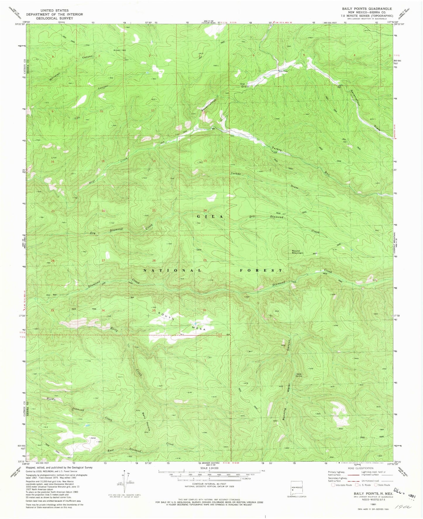
Classic USGS Baily Points New Mexico 7.5'x7.5' Topo Map
Couldn't load pickup availability
Historical USGS topographic quad map of Baily Points in the state of New Mexico. Typical map scale is 1:24,000, but may vary for certain years, if available. Print size: 24" x 27"
This quadrangle is in the following counties: Sierra.
The map contains contour lines, roads, rivers, towns, and lakes. Printed on high-quality waterproof paper with UV fade-resistant inks, and shipped rolled.
Contains the following named places: South Mesa Tank, Big Bear Tank, Slick Rock Tank, Maverick Tank, Saucer Tank, Inman Cienega Tank, Cox Tank, Shallow Tank, Road Tank, Running Water Spring, Baily Creek, McCauley Ranch, Round Mountain, Running Water Canyon, Seventyfour Draw, South Mesa, Turkey Draw, Turkey Run, Seventy-Four Draw, Miller Spring, Sevety-four Draw Well, Black Range Ranger District, Caves Well, Upper Dry Tank, Baily Points