MyTopo
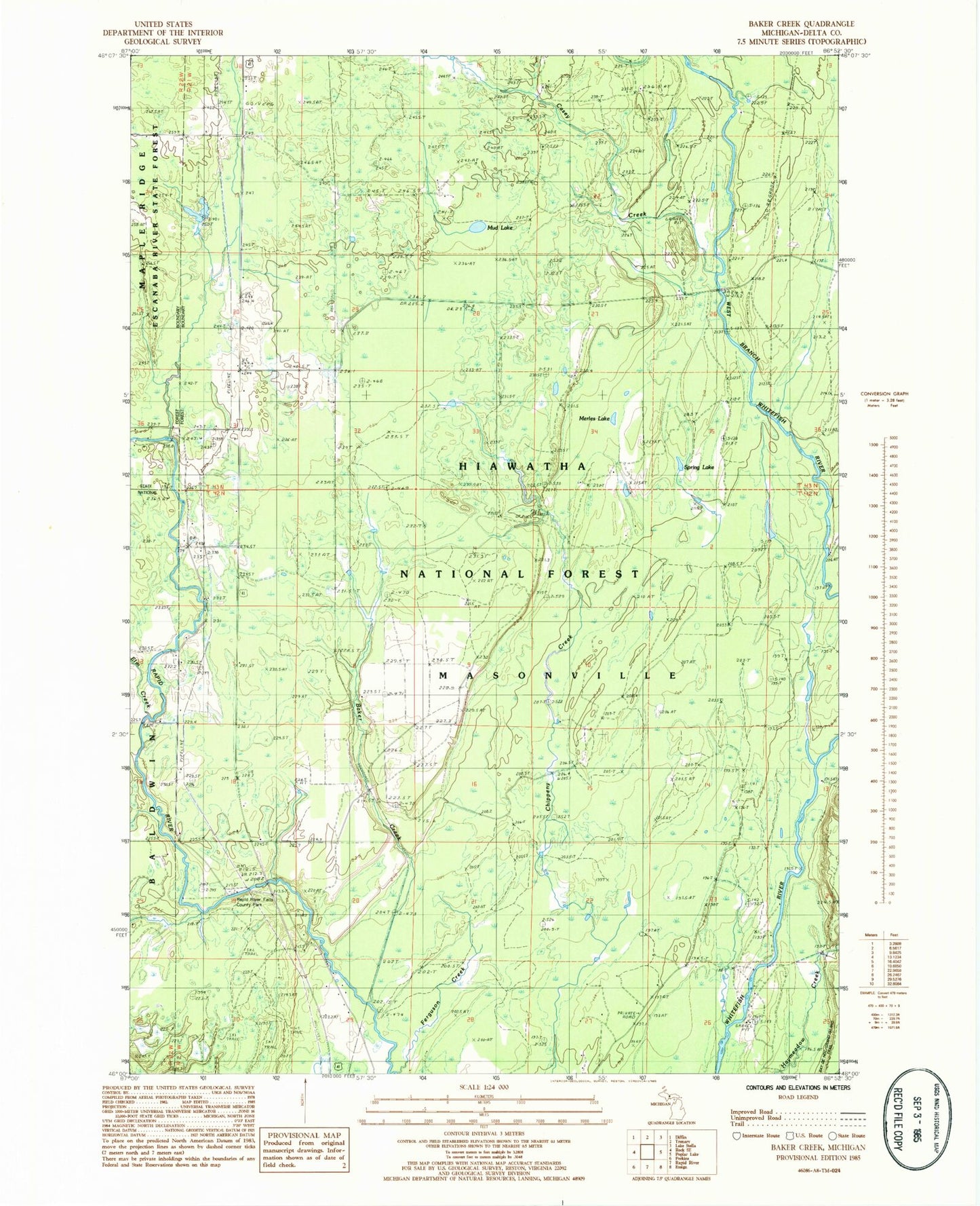
Classic USGS Baker Creek Michigan 7.5'x7.5' Topo Map
Regular price
$16.95
Regular price
Sale price
$16.95
Unit price
per
Couldn't load pickup availability
Historical USGS topographic quad map of Baker Creek in the state of Michigan. Map scale is 1:24000. Print size is approximately 24" x 27"
This quadrangle is in the following counties: Delta.
The map contains contour lines, roads, rivers, towns, and lakes. Printed on high-quality waterproof paper with UV fade-resistant inks, and shipped rolled.
Contains the following named places: Baker Creek, Casey Creek, Dutch Mill Cemetery, Elm Creek, Little West Branch Whitefish River, Merles Lake, Mud Lake, North Delta Church of Christ, Rapid River Falls, Rapid River Falls County Park, Spring Lake, Township of Masonville