MyTopo
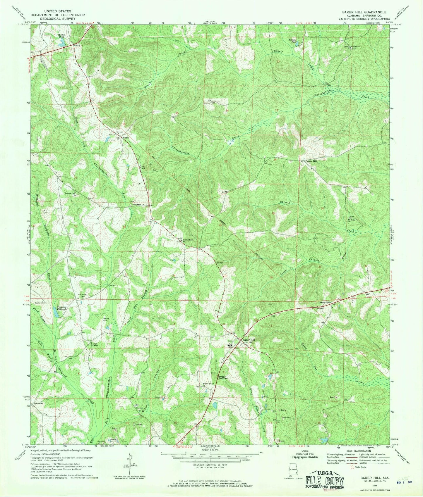
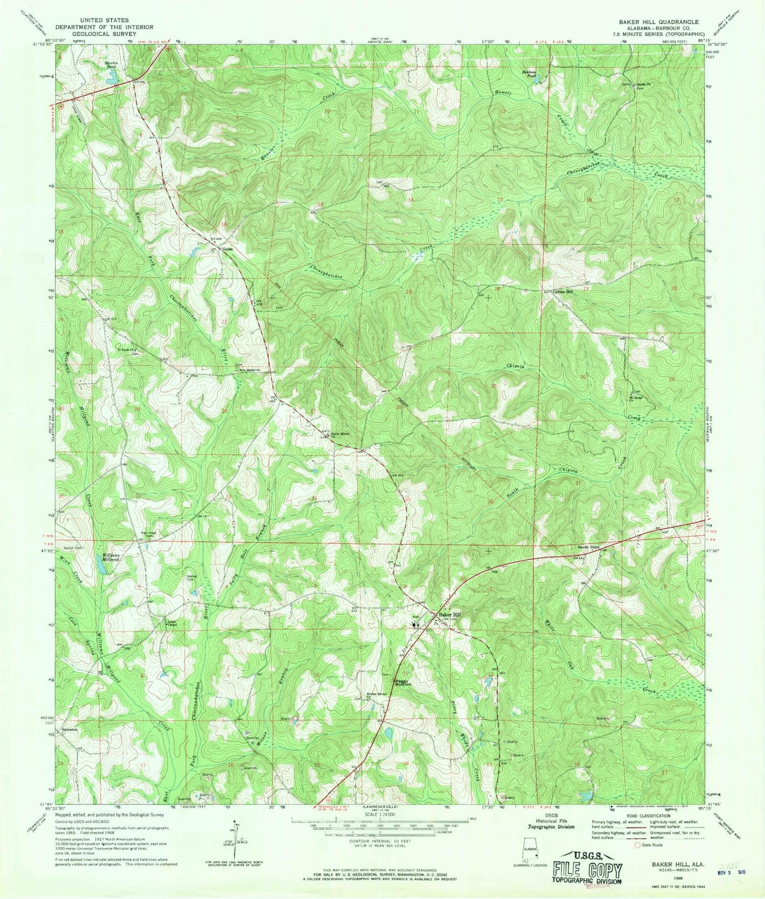
Classic USGS Baker Hill Alabama 7.5'x7.5' Topo Map
Couldn't load pickup availability
Historical USGS topographic quad map of Baker Hill in the state of Alabama. Map scale may vary for some years, but is generally around 1:24,000. Print size is approximately 24" x 27"
This quadrangle is in the following counties: Barbour.
The map contains contour lines, roads, rivers, towns, and lakes. Printed on high-quality waterproof paper with UV fade-resistant inks, and shipped rolled.
Contains the following named places: Baker Hill, Baker Hill Post Office, Baker Hill School, Baker Hill Volunteer Fire Department, Bakerhill Division, Belcher Bethel Baptist Church, Belcher Number 1 Mine, Bentons Pond, Cold Spring Branch, Cotton Hill, Farmers Gin, Farrior Branch, Gaino, Houstons Store, Howell Creek, Johnstons Store, Lewis Chapel, Martin Pond, Mount Aerial Church, New Bethel Church, New Hope Cemetery, Oateston, Peggy Bottom, Richard Number 1 Mine, Rocky Mount Church, Saint Pauls Church, Sally Hole Branch, Sandy Point, Sardis Cemetery, Sardis Church, Scotch Cemetery, South Chipola Creek, Stewarts Gin, Town of Bakerhill, Walker Cemetery, Williams Millpond, Williams Millpond Creek, Wilson Branch, Wilsons Mill, Winn Creek


