MyTopo
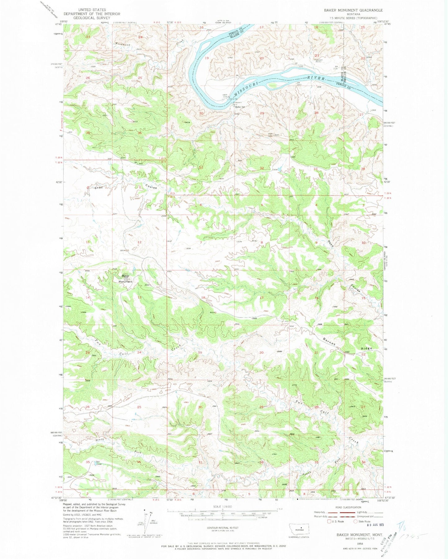
Classic USGS Baker Monument Montana 7.5'x7.5' Topo Map
Regular price
$16.95
Regular price
Sale price
$16.95
Unit price
per
Couldn't load pickup availability
Historical USGS topographic quad map of Baker Monument in the state of Montana. Map scale may vary for some years, but is generally around 1:24,000. Print size is approximately 24" x 27"
This quadrangle is in the following counties: Blaine, Fergus, Phillips.
The map contains contour lines, roads, rivers, towns, and lakes. Printed on high-quality waterproof paper with UV fade-resistant inks, and shipped rolled.
Contains the following named places: 22N22E34BB__01 Well, 22N22E34CB__01 Well, Baker Monument, Barnes Ridge, Gumbo Dam, Heller Farm Airport, Heller School, Phillips Power Plant, Power Plant, South Fork Two Calf Creek, Woodhawk Creek