
MyTopo
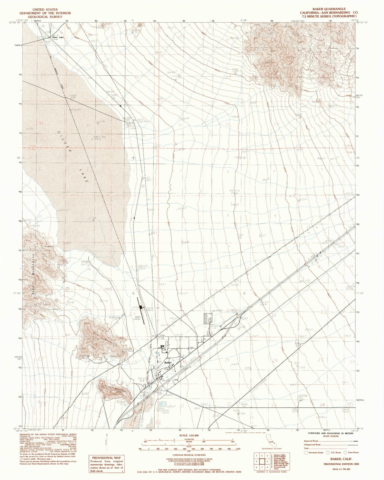
Classic USGS Baker California 7.5'x7.5' Topo Map
Couldn't load pickup availability
Historical USGS topographic quad map of Baker in the state of California. Map scale may vary for some years, but is generally around 1:24,000. Print size is approximately 24" x 27"
This quadrangle is in the following counties: San Bernardino.
The map contains contour lines, roads, rivers, towns, and lakes. Printed on high-quality waterproof paper with UV fade-resistant inks, and shipped rolled.
Contains the following named places: Baker, Baker Airport, Baker Census Designated Place, Baker Elementary School, Baker Emergency Medical Services, Baker High School, Baker Junior High School, Baker Post Office, Chet Hoffman Park, Halloran Wash, Hollow Hills Wilderness, Nickel Mountain, Otto Mine, Otto Mountain, San Bernardino County Fire Department Station 53 Baker, San Bernardino County Sheriff's Department - Baker Substation, Silver Lake, Silver Lake Airport, ZIP Code: 92309


