MyTopo
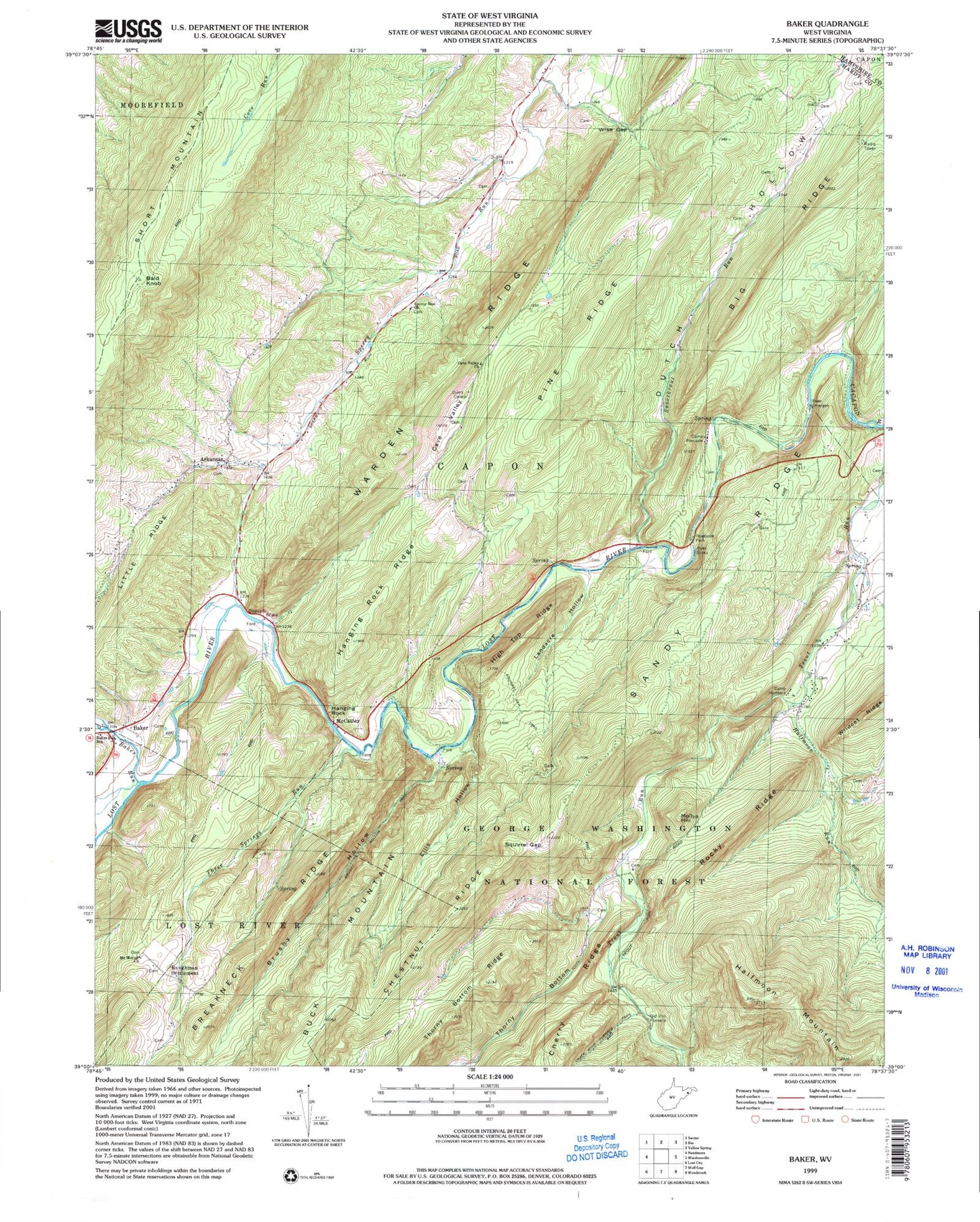
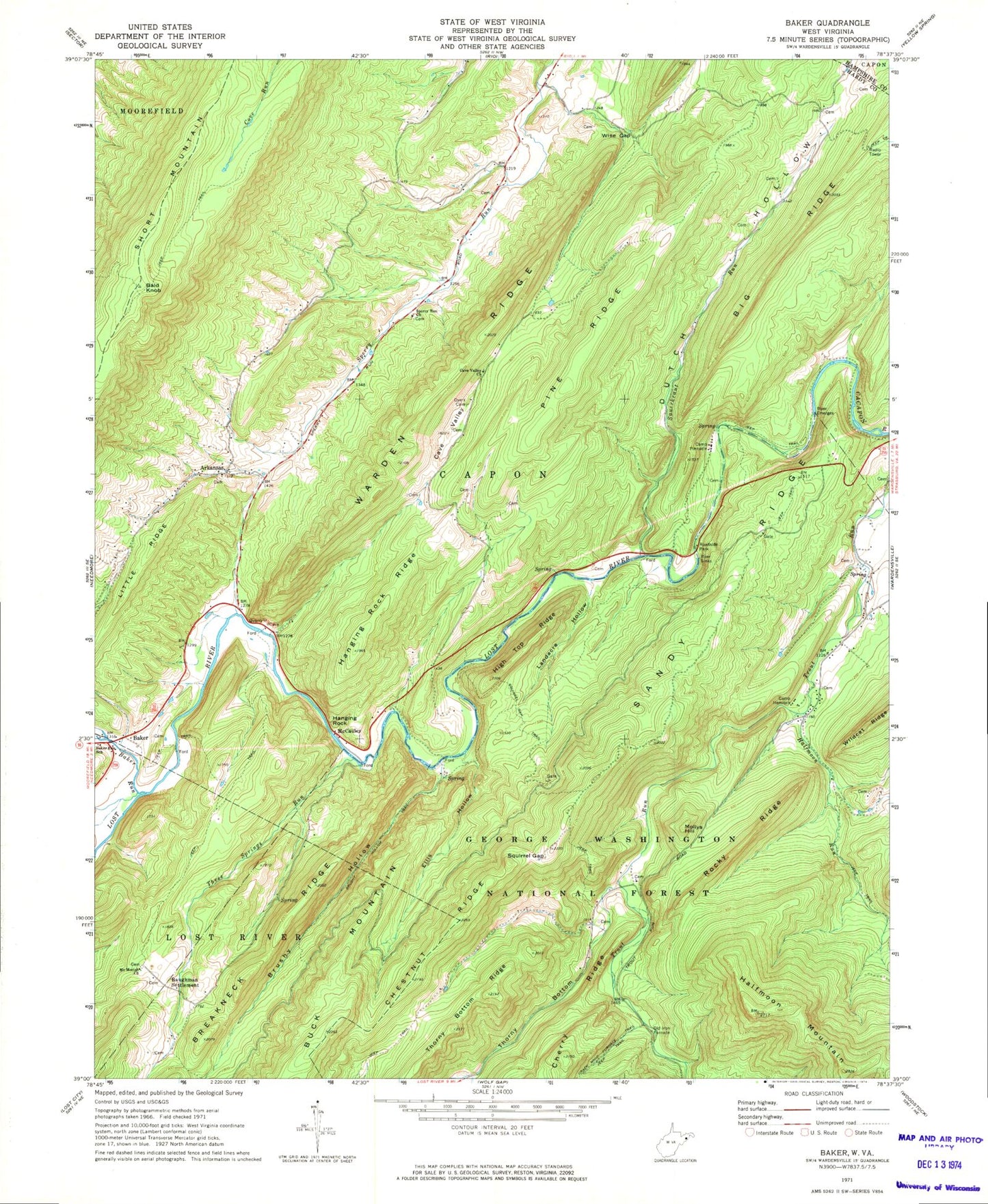
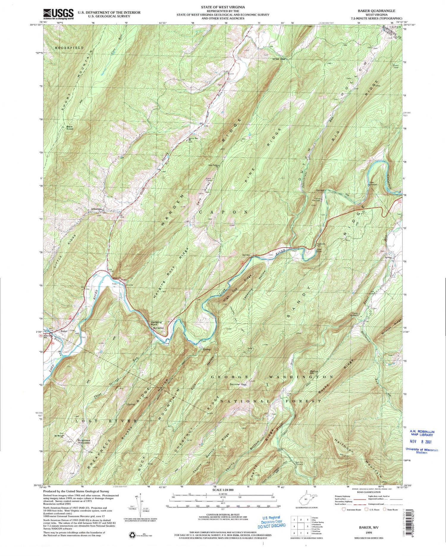
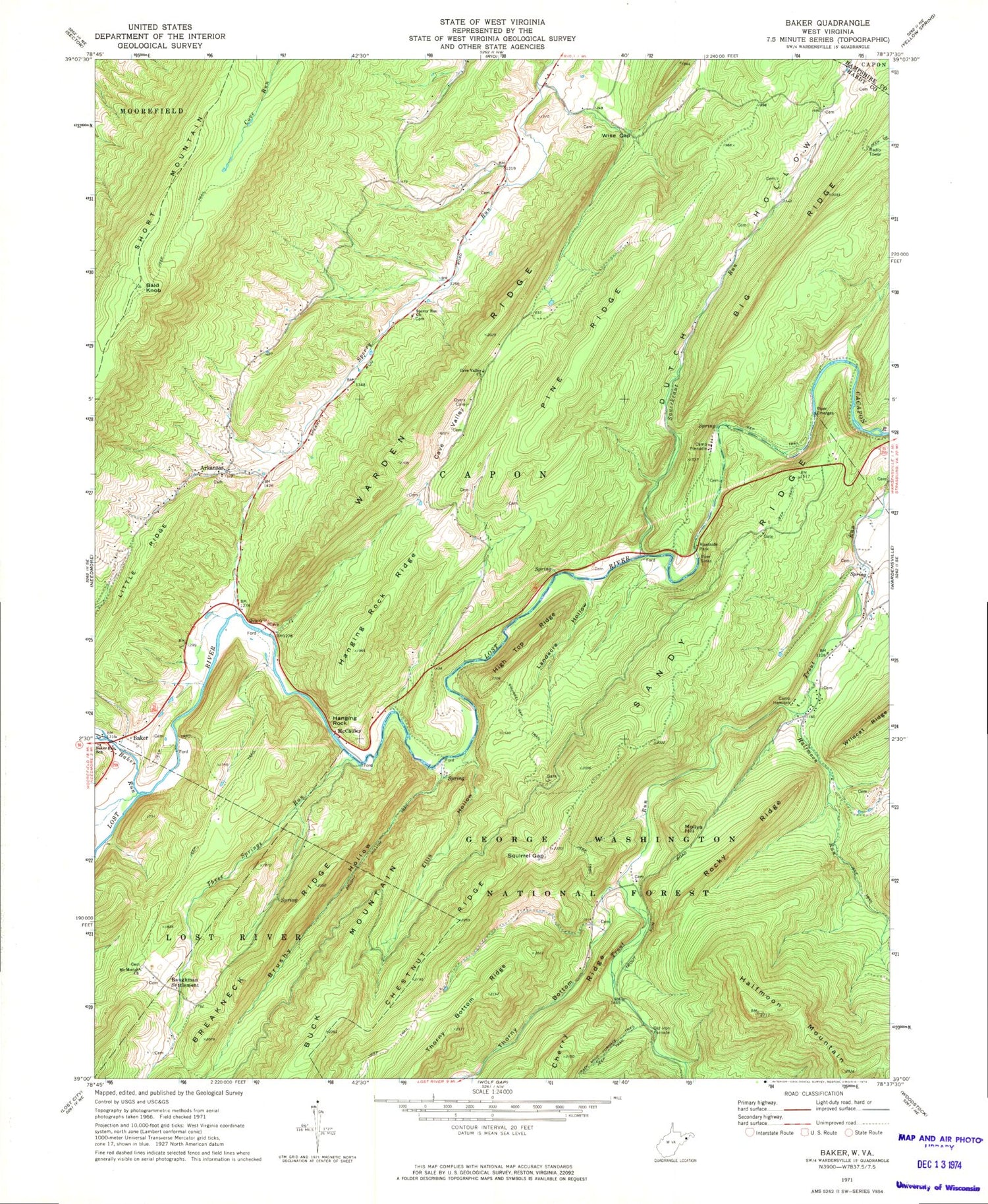
Classic USGS Baker West Virginia 7.5'x7.5' Topo Map
Couldn't load pickup availability
Historical USGS topographic quad map of Baker in the state of West Virginia. Typical map scale is 1:24,000, but may vary for certain years, if available. Print size: 24" x 27"
This quadrangle is in the following counties: Hampshire, Hardy.
The map contains contour lines, roads, rivers, towns, and lakes. Printed on high-quality waterproof paper with UV fade-resistant inks, and shipped rolled.
Contains the following named places: Sperry Run Church, Arkansas, Baker Run, Baker Run School (historical), Brushy Hollow, Brushy Hollow Trail, Buck Mountain, Camp Hemlock, Camp Pinnacle, Cave Valley, Cave Valley Presbyterian Church, Cherry Ridge, Chestnut Ridge, Dutch Hollow, Ellis Hollow, Halfmoon Mountain, Halfmoon Run, Hanging Rock, Hanging Rock Ridge, High Top Ridge, Landacre Hollow, Lost River, Mount Moriah Church, Pine Ridge, Rocky Ridge, Sandy Ridge, Sauerkraut Run, Squirrel Gap, Squirrel Gap Trail, Thorny Bottom, Thorny Bottom Ridge, Three Springs Run, Warden Ridge, Wildcat Ridge, Wise Gap, Devils Garden Ridge, Blue Sea Gap, Baker, Bald Knob, Baughman Settlement, McCauley, Mollys Hill, Short Mountain, Heishman School (historical), Landecker School (historical), Pine Ridge School (historical), Shady Grove School (historical), Sperry Run School (historical), Winfred Tharp Spring, Arie Vankan Spring, Trout Run Fault Spring, Reed Farm Spring, National Forest Spring, Miller Spring, Baker Mine Spring, Big Spring, Camp Pinnacle Spring, Landecker Farm Spring, Steacy Conrad Spring, Baker Post Office, Zion Lutheran Church, Capon District, Mathias - Baker Volunteer Emergency Squad - Baker, Mathias Baker Volunteer Emergency Squad 42, Lost River Number 1 Bridge, Rudy Memorial Bridge, Sauerkraut Run Bridge, Lost River Number 3 Bridge, Hardy County Emergency Ambulance


