MyTopo
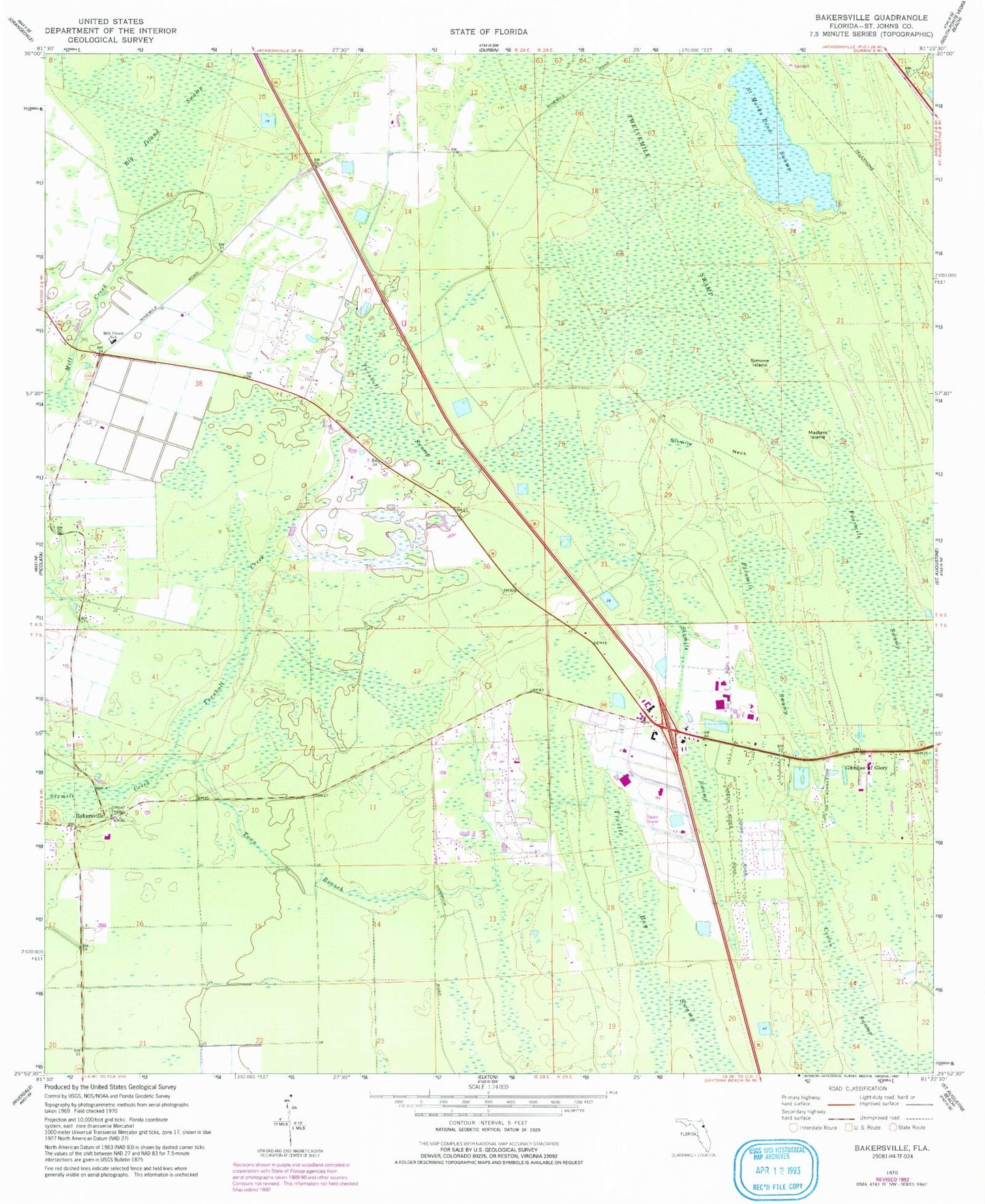
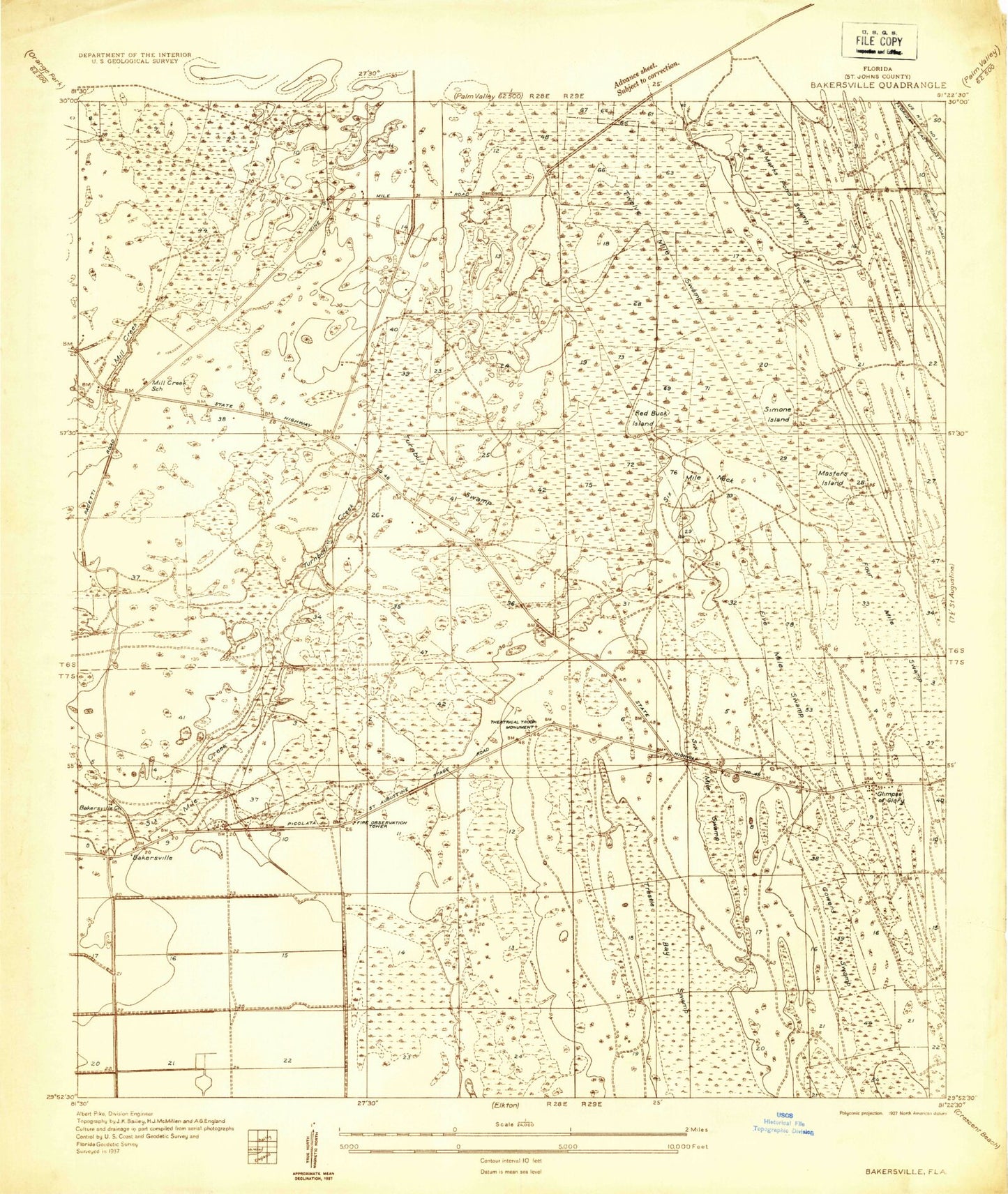
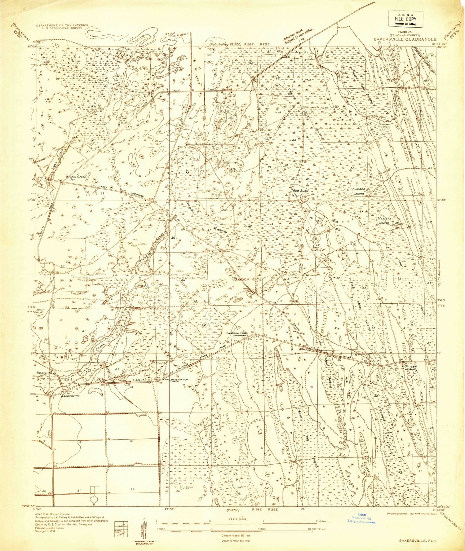
Classic USGS Bakersville Florida 7.5'x7.5' Topo Map
Couldn't load pickup availability
Historical USGS topographic quad map of Bakersville in the state of Florida. Map scale may vary for some years, but is generally around 1:24,000. Print size is approximately 24" x 27"
This quadrangle is in the following counties: St. Johns.
The map contains contour lines, roads, rivers, towns, and lakes. Printed on high-quality waterproof paper with UV fade-resistant inks, and shipped rolled.
Contains the following named places: Bakersville, Bakersville Tower, Big Island, Cowan Swamp, Fivemile Swamp, Fourmile Swamp, Francis Naval Outer Landing Field, Glimpse of Glory, Masters Island, Mill Creek School, Saint Augustine Division, Saint Johns County, Saint Johns County Fire Rescue Station 16 - World Golf Village, Saint Johns County Fire Rescue Station 4 - Bakersville, Saint Marks Pond Swamp, Simone Island, Sixmile Neck, Sixmile Swamp, Sunshine Farms Airport, The Evergreen Club, Town Branch, Turnbull Creek, Turnbull Swamp, Whispering Oaks Gardens Mobile Home Park, WHWY-AM (Saint Augustine Beach), World Golf Village Census Designated Place, WSOS-FM (Saint Augustine)