MyTopo
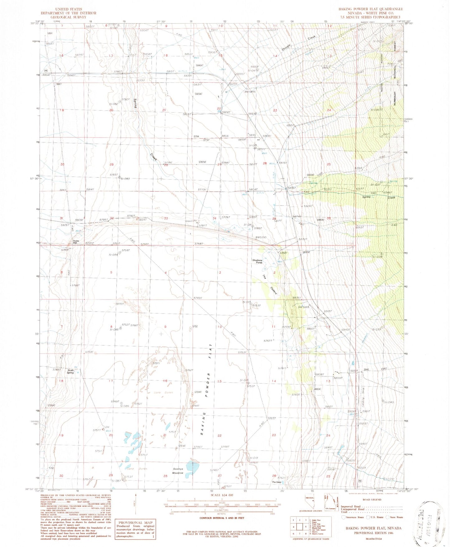
Classic USGS Baking Powder Flat Nevada 7.5'x7.5' Topo Map
Couldn't load pickup availability
Historical USGS topographic quad map of Baking Powder Flat in the state of Nevada. Map scale may vary for some years, but is generally around 1:24,000. Print size is approximately 24" x 27"
This quadrangle is in the following counties: White Pine.
The map contains contour lines, roads, rivers, towns, and lakes. Printed on high-quality waterproof paper with UV fade-resistant inks, and shipped rolled.
Contains the following named places: Cement Pipe Factory, Doyles Well, Floyd Smith Ranch, Harbecke Ranch, Kerr Ranch, Kirkeby Ranch, Kirkeby Ranch Airport, North Spring, Ridge Creek, Robinson Ranch, Scottys Meadow, Shingle Creek, Shoshone Ponds, Spring Creek, The Cedars, The Seep, Worthington Spring, Yelland Ranch, Yelton Ranch, Ziege Ranch