MyTopo
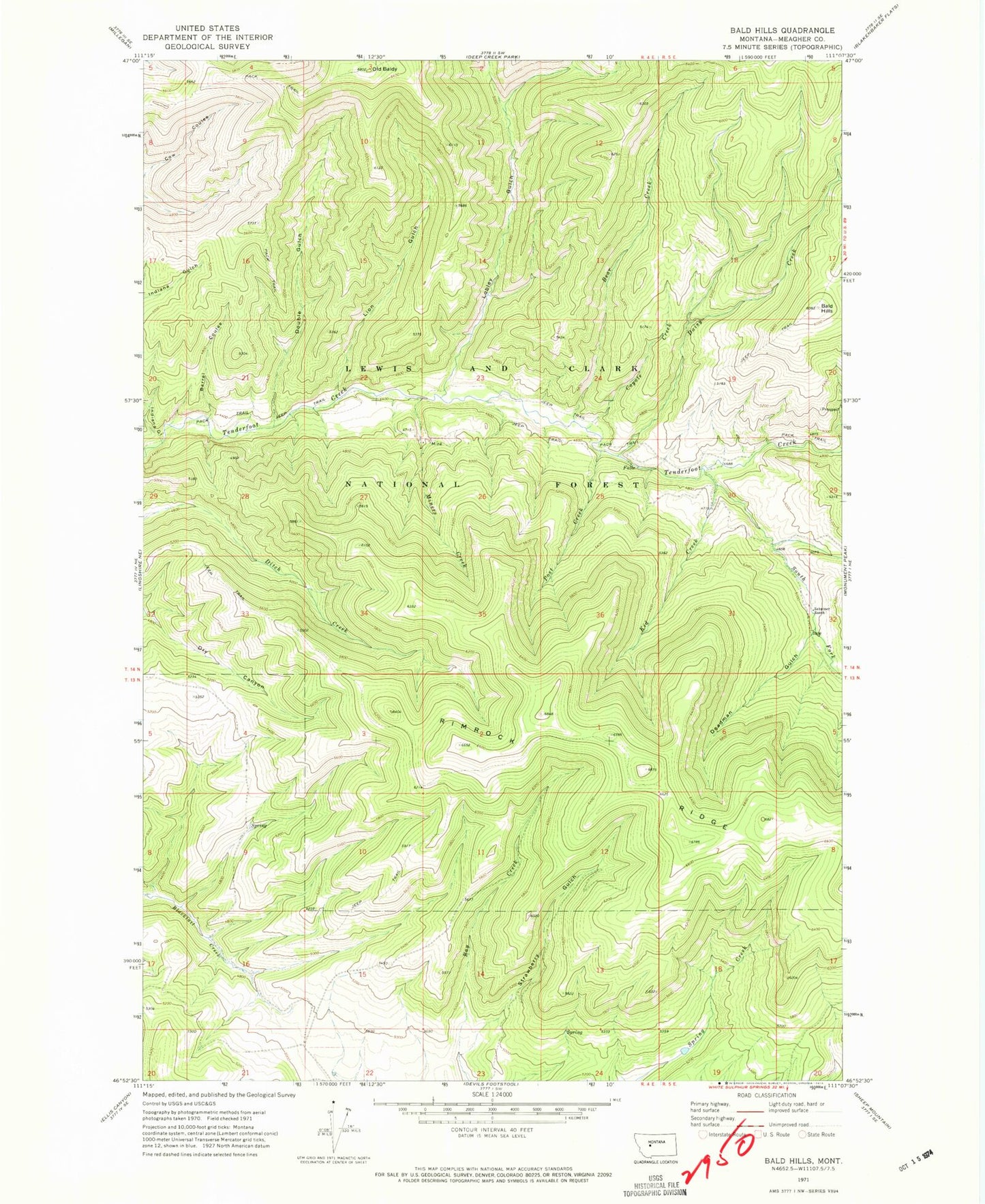
Classic USGS Bald Hills Montana 7.5'x7.5' Topo Map
Regular price
$16.95
Regular price
Sale price
$16.95
Unit price
per
Couldn't load pickup availability
Historical USGS topographic quad map of Bald Hills in the state of Montana. Map scale is 1:24000. Print size is approximately 24" x 27"
This quadrangle is in the following counties: Meagher.
The map contains contour lines, roads, rivers, towns, and lakes. Printed on high-quality waterproof paper with UV fade-resistant inks, and shipped rolled.
Contains the following named places: Bald Hills, Barrel Coulee, Bear Creek, Coyote Creek, Daisy Creek, Daisy Spring, Deadman Gulch, Double Gulch, Ducolon-Potter Mine, Indiana Gulch, Lion Gulch, Lobley Gulch, Miners Creek, Mongar Creek, NW NW Section 26 Mine, Old Baldy, Post Creek, South Fork Tenderfoot Creek, Strawberry Gulch, Zehntner Ranch