MyTopo
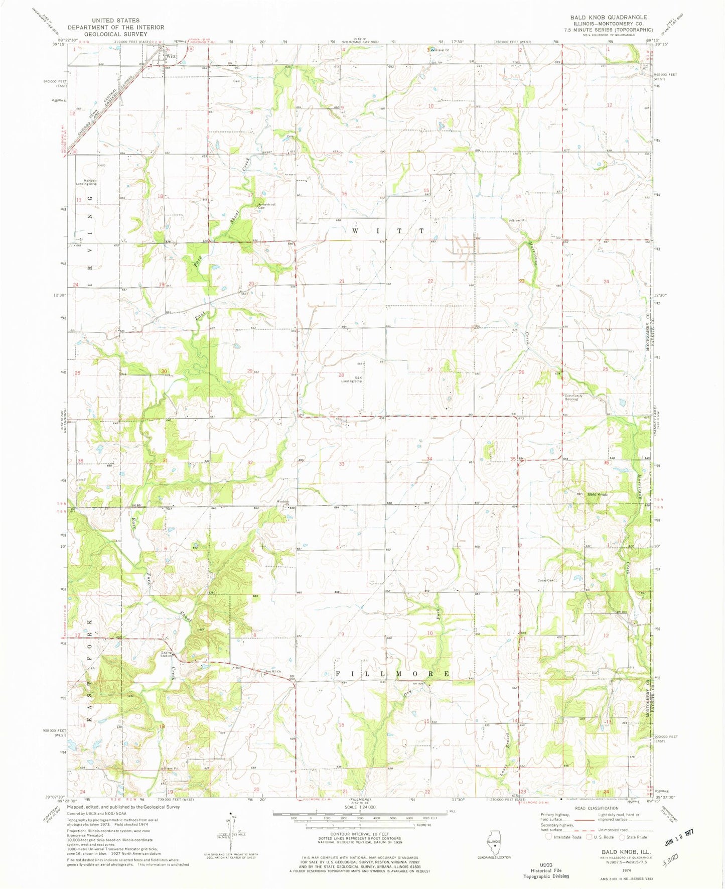
Classic USGS Bald Knob Illinois 7.5'x7.5' Topo Map
Couldn't load pickup availability
Historical USGS topographic quad map of Bald Knob in the state of Illinois. Map scale may vary for some years, but is generally around 1:24,000. Print size is approximately 24" x 27"
This quadrangle is in the following counties: Fayette, Montgomery.
The map contains contour lines, roads, rivers, towns, and lakes. Printed on high-quality waterproof paper with UV fade-resistant inks, and shipped rolled.
Contains the following named places: Abner Casey Cemetery, Armentrout Cemetery, Bald Knob, Bost Hill Cemetery, Bost Hill Church, Bost Hill School, College Hill School, Eddington Dairy Farm, Gooseneck Cemetery, Hoehn RLA Airport, Knowles School, McNeely Landing Strip, O K Flying Club Inc Airport, Olive Branch School, Pleasant Hill School, Pleasant View School, Prairie College School, Prairie View School, Sandy Bend School, Starr School, Township of Fillmore, Township of Witt, Witt Cemetery, Woodside Cemetery, Woodside Church, ZIP Code: 62094