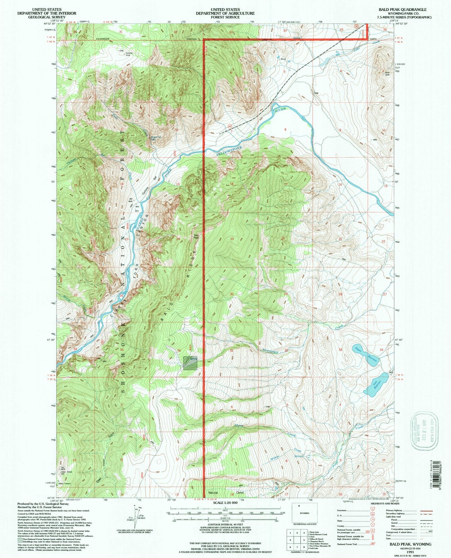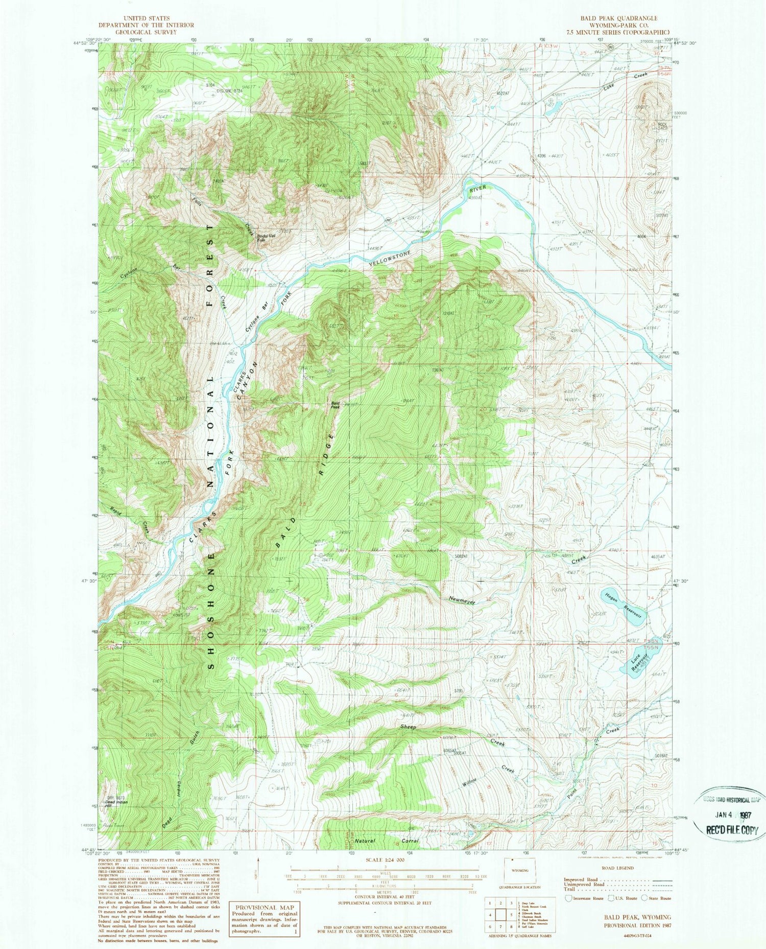
MyTopo
Classic USGS Bald Peak Wyoming 7.5'x7.5' Topo Map
Couldn't load pickup availability
Historical USGS topographic quad map of Bald Peak in the state of Wyoming. Map scale may vary for some years, but is generally around 1:24,000. Print size is approximately 24" x 27"
This quadrangle is in the following counties: Park.
The map contains contour lines, roads, rivers, towns, and lakes. Printed on high-quality waterproof paper with UV fade-resistant inks, and shipped rolled.
Contains the following named places: Bakers Ranch, Bald Peak, Bald Ridge, Bridal Veil Falls, Clarks Fork Canyon, Cyclone Bar, Cyclone Bar Creek, Davidson Ranch, Dead Indian Gulch, Dead Indian Hill, Dead Indian Mine, Falls Creek, Hogan Reservoir, Luce Dam, Luce Reservoir, Martins Ranch, Rapid Creek, Sheep Creek, Waggoner Claims, Willow Creek