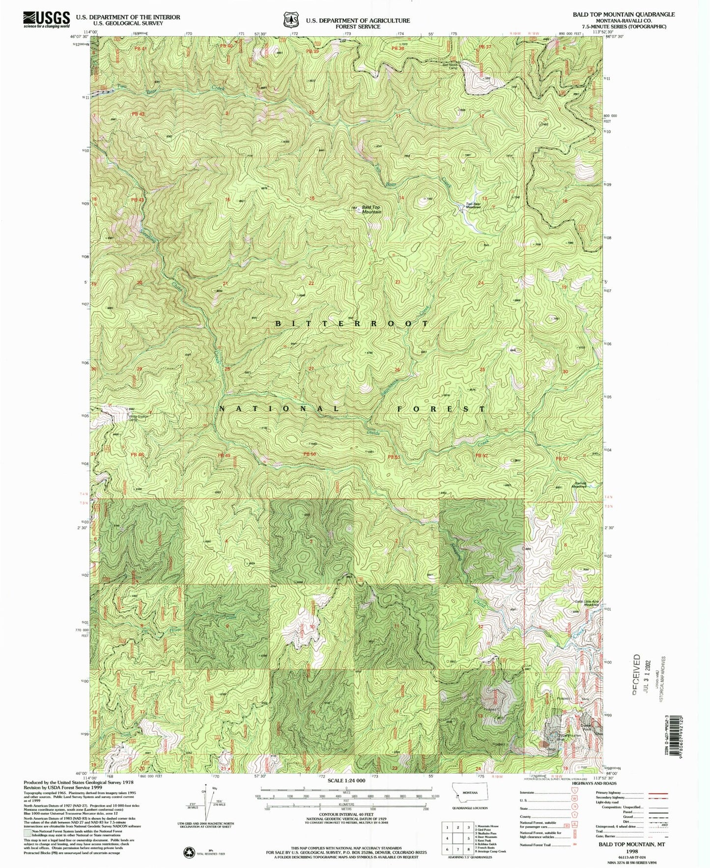
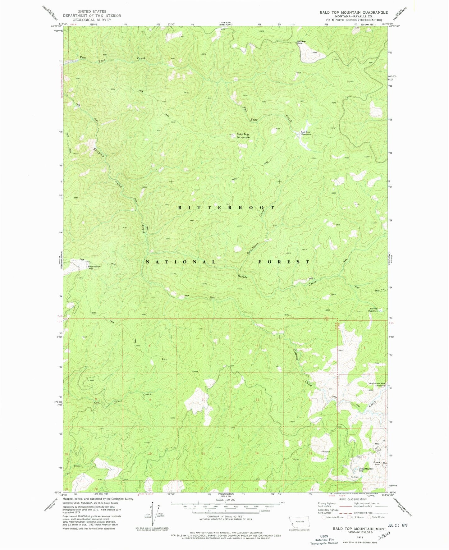
MyTopo
Classic USGS Bald Top Mountain Montana 7.5'x7.5' Topo Map
Regular price
$16.95
Regular price
Sale price
$16.95
Unit price
per
Couldn't load pickup availability
Historical USGS topographic quad map of Bald Top Mountain in the state of Montana. Map scale may vary for some years, but is generally around 1:24,000. Print size is approximately 24" x 27"
This quadrangle is in the following counties: Ravalli.
The map contains contour lines, roads, rivers, towns, and lakes. Printed on high-quality waterproof paper with UV fade-resistant inks, and shipped rolled.
Contains the following named places: Bad News Camp, Bald Top Mountain, Barnett Meadows, Crystal Mountain Mine, Crystal Point, Divide Creek, SW SE Section 15 Mine, Switchback Creek, Two Bear Meadows, White Stallion Camp