MyTopo
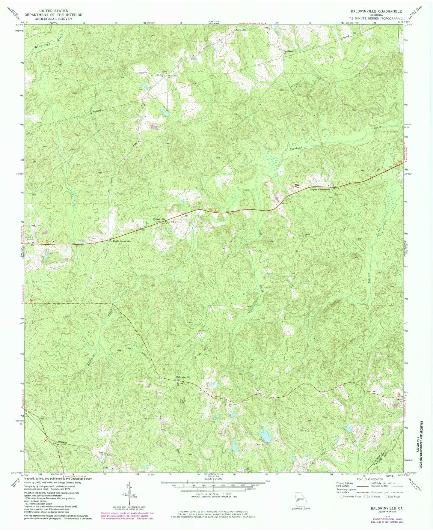
Classic USGS Baldwinville Georgia 7.5'x7.5' Topo Map
Couldn't load pickup availability
Historical USGS topographic quad map of Baldwinville in the state of Georgia. Typical map scale is 1:24,000, but may vary for certain years, if available. Print size: 24" x 27"
This quadrangle is in the following counties: Talbot, Taylor.
The map contains contour lines, roads, rivers, towns, and lakes. Printed on high-quality waterproof paper with UV fade-resistant inks, and shipped rolled.
Contains the following named places: Adams Cemetery, Bethel Church, Mill Creek, Mount Airy Church, Mount Zion Church, New Salem Church, Philadelphia Church, Pine Level Church, Potters Creek, Rock Church, Baldwinville, Po Biddy Crossroads, Poplar Crossroads, Matthews Lake East Dam, Matthews Lake East, Floyds Lake Dam, Floyds Lake, Matthews Lake Dam, Matthews Lake, Centerville School (historical), Spinks Chapel (historical), Jumpin j Airport (historical), Centerville, Ypsilanti, Talbotton Division