MyTopo
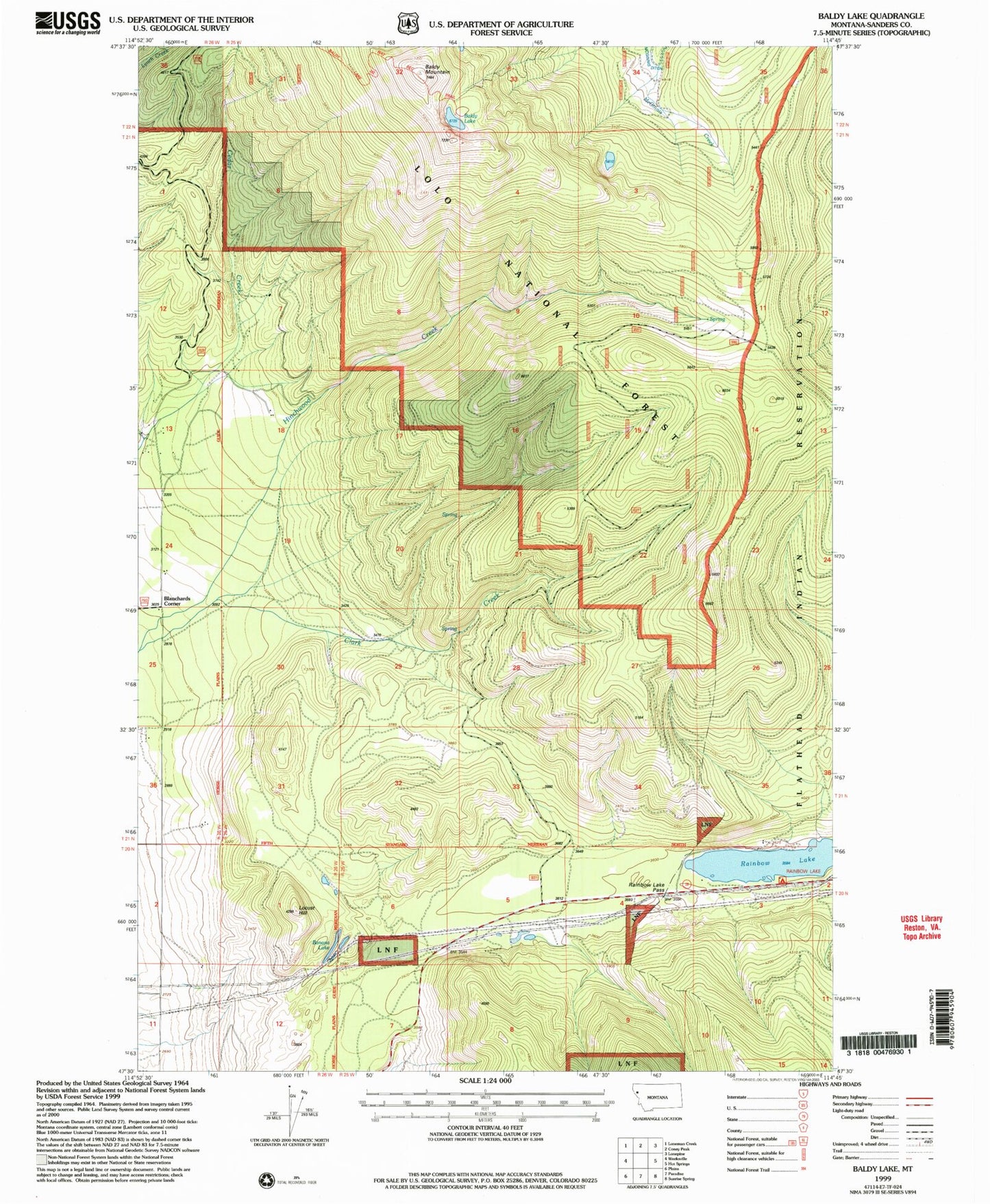
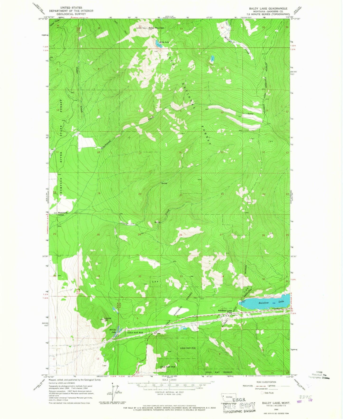
Classic USGS Baldy Lake Montana 7.5'x7.5' Topo Map
Regular price
$16.95
Regular price
Sale price
$16.95
Unit price
per
Couldn't load pickup availability
Historical USGS topographic quad map of Baldy Lake in the state of Montana. Typical map scale is 1:24,000, but may vary for certain years, if available. Print size: 24" x 27"
This quadrangle is in the following counties: Sanders.
The map contains contour lines, roads, rivers, towns, and lakes. Printed on high-quality waterproof paper with UV fade-resistant inks, and shipped rolled.
Contains the following named places: Baldy Lake, Baldy Mountain, Banana Lake, Blanchards Corner, Locust Hill, Rainbow Lake, Rainbow Lake Pass, Rainbow Lake Campground, 20N25W03CBBA01 Well, 21N26W25DCDC01 Well