MyTopo
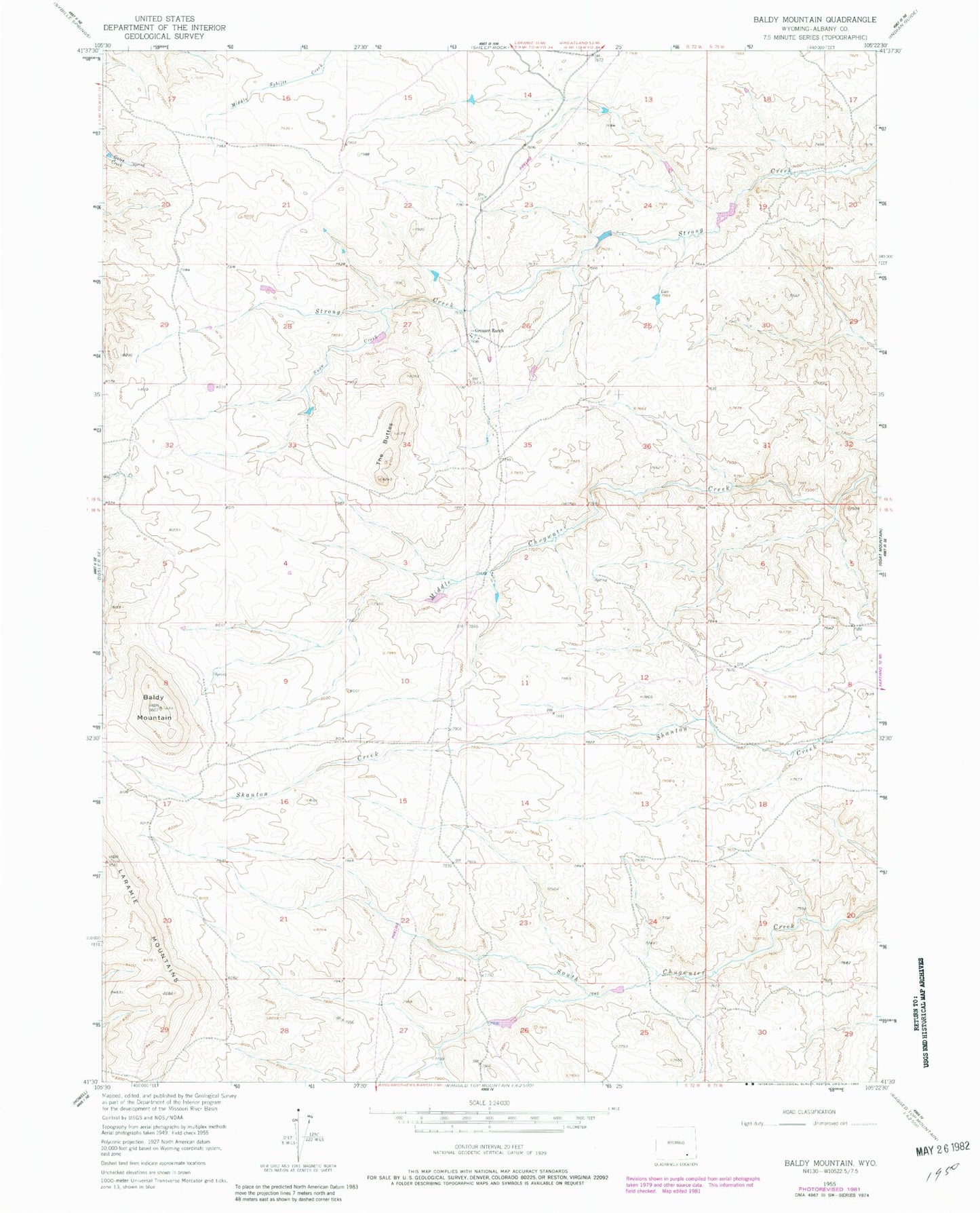
Classic USGS Baldy Mountain Wyoming 7.5'x7.5' Topo Map
Couldn't load pickup availability
Historical USGS topographic quad map of Baldy Mountain in the state of Wyoming. Map scale may vary for some years, but is generally around 1:24,000. Print size is approximately 24" x 27"
This quadrangle is in the following counties: Albany.
The map contains contour lines, roads, rivers, towns, and lakes. Printed on high-quality waterproof paper with UV fade-resistant inks, and shipped rolled.
Contains the following named places: Baldy Mountain, Bliss Number 1 Dam, Bliss Number 1 Reservoir, East Albany Division, Ella Reservoir, Ella Reservoir Dam, Greaser Ranch, Laramie Mountains, Shanton Mine, Snow Creek, Strong Number 1 Dam, Strong Number 1 Reservoir, Strong Number 4 Dam, Strong Number 4 Reservoir, The Buttes