MyTopo
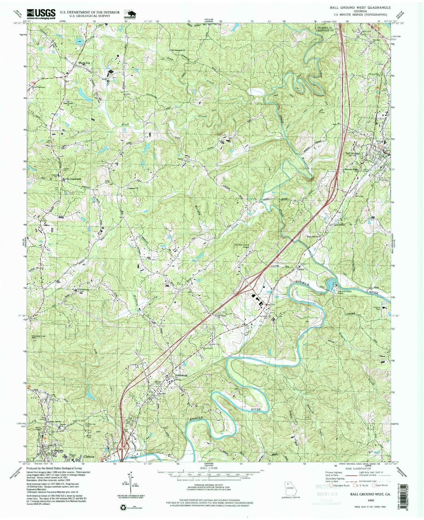
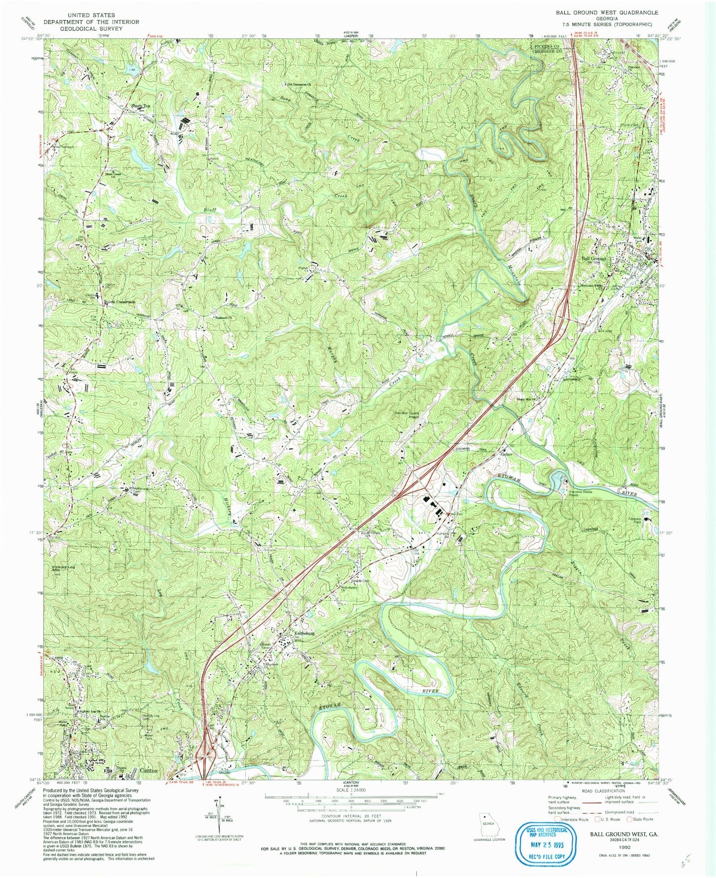
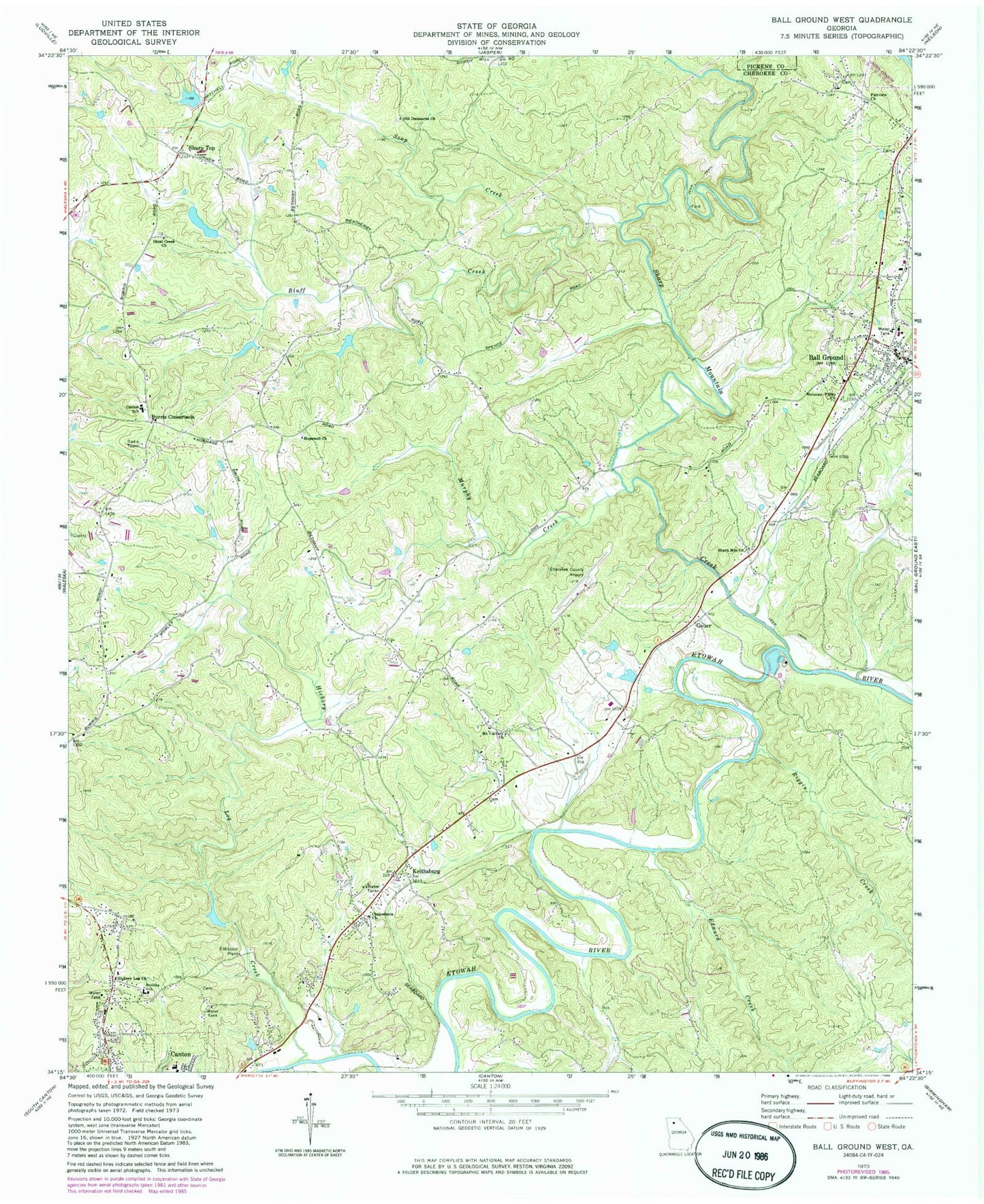
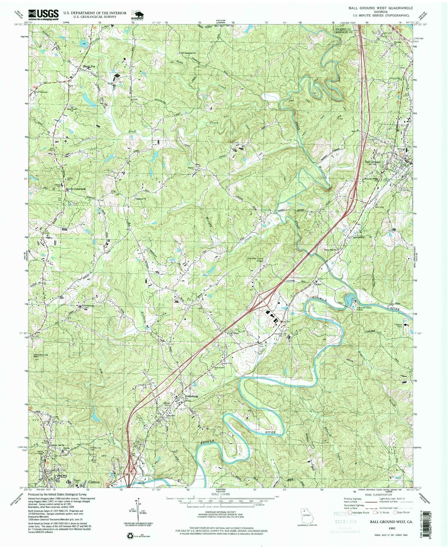
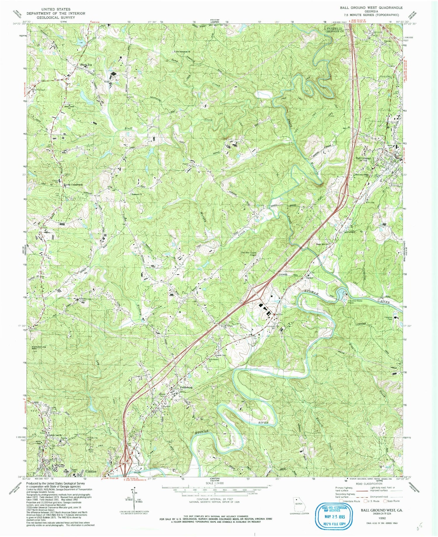
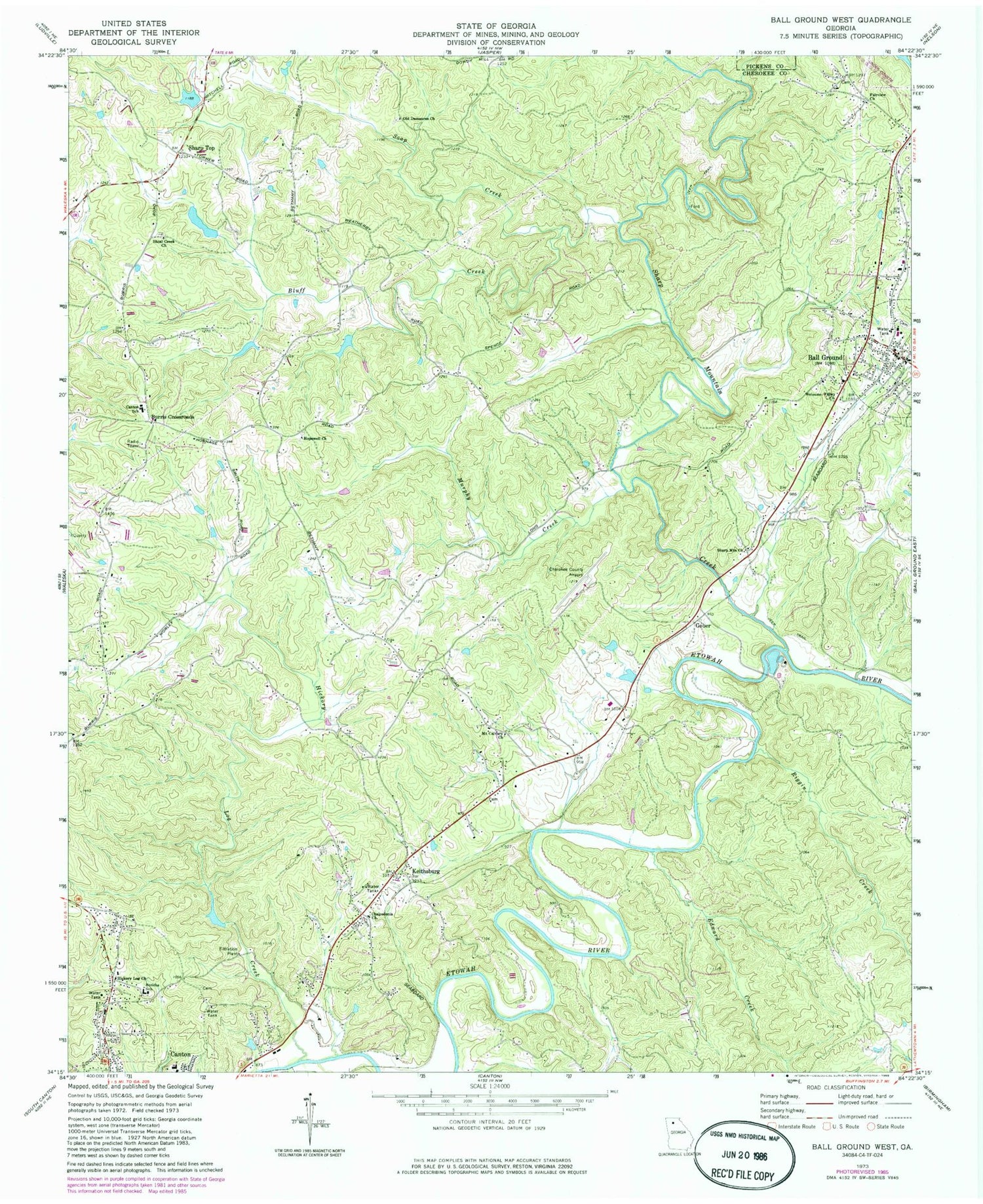
Classic USGS Ball Ground West Georgia 7.5'x7.5' Topo Map
Couldn't load pickup availability
Historical USGS topographic quad map of Ball Ground West in the state of Georgia. Map scale may vary for some years, but is generally around 1:24,000. Print size is approximately 24" x 27"
This quadrangle is in the following counties: Cherokee, Pickens.
The map contains contour lines, roads, rivers, towns, and lakes. Printed on high-quality waterproof paper with UV fade-resistant inks, and shipped rolled.
Contains the following named places: Ball Ground, Ball Ground Baptist Cemetery, Ball Ground Baptist Church, Ball Ground City Cemetery, Ball Ground Division, Ball Ground Elementary School, Ball Ground Methodist Church, Ball Ground Police Department, Ball Ground Post Office, Bethel Tabernacle Church, Bluff Creek, Bunche School, Burris Crossroads, Canton Mills Lake, Canton Mills Lake Dam, Canton Post Office, Chalcedonia Church, Cherokee County Airport, Cherokee County Fire Department Station 9 - North Canyon, Church of God, Clayton Church, Clayton Community Volunteer Fire Department Station 6, Clayton Elementary School, Dowda Cemetery, Edward Creek, Fairview Church, Ford Lake, Ford Lake Dam, Gober, Gospel Temple Cemetery, Hickory Log Cemetery, Hickory Log Church, Hickory Log Creek, Hopewell Baptist Church, Hopewell Cemetery, Keith Cemetery, Keithsburg, Lays School, McFarland Cemetery, Moore Lake, Mount Calvary Church, Murphy Creek, Northside Church, Northstar at L R Tippens Education Center, Old Damascus Church, Payne-Smith Lake, Pegasus Run Airport, Pilgrim Church, Ralph Bunche Center, Riggin Creek, Riverdale School, Sharp Mountain Baptist Church, Sharp Mountain Creek, Sharp Mountain Creek Structure Number Five Dam, Sharp Mountain Creek Structure Number Seven Dam, Sharp Mountain Creek Structure Number Six Dam, Sharp Top, Shoal Creek Church, Soap Creek, Souls Harbor Church, Tippens School, Turner Lake, WCHK-AM (Canton), Welcome Valley Church, Zion Temple
