MyTopo
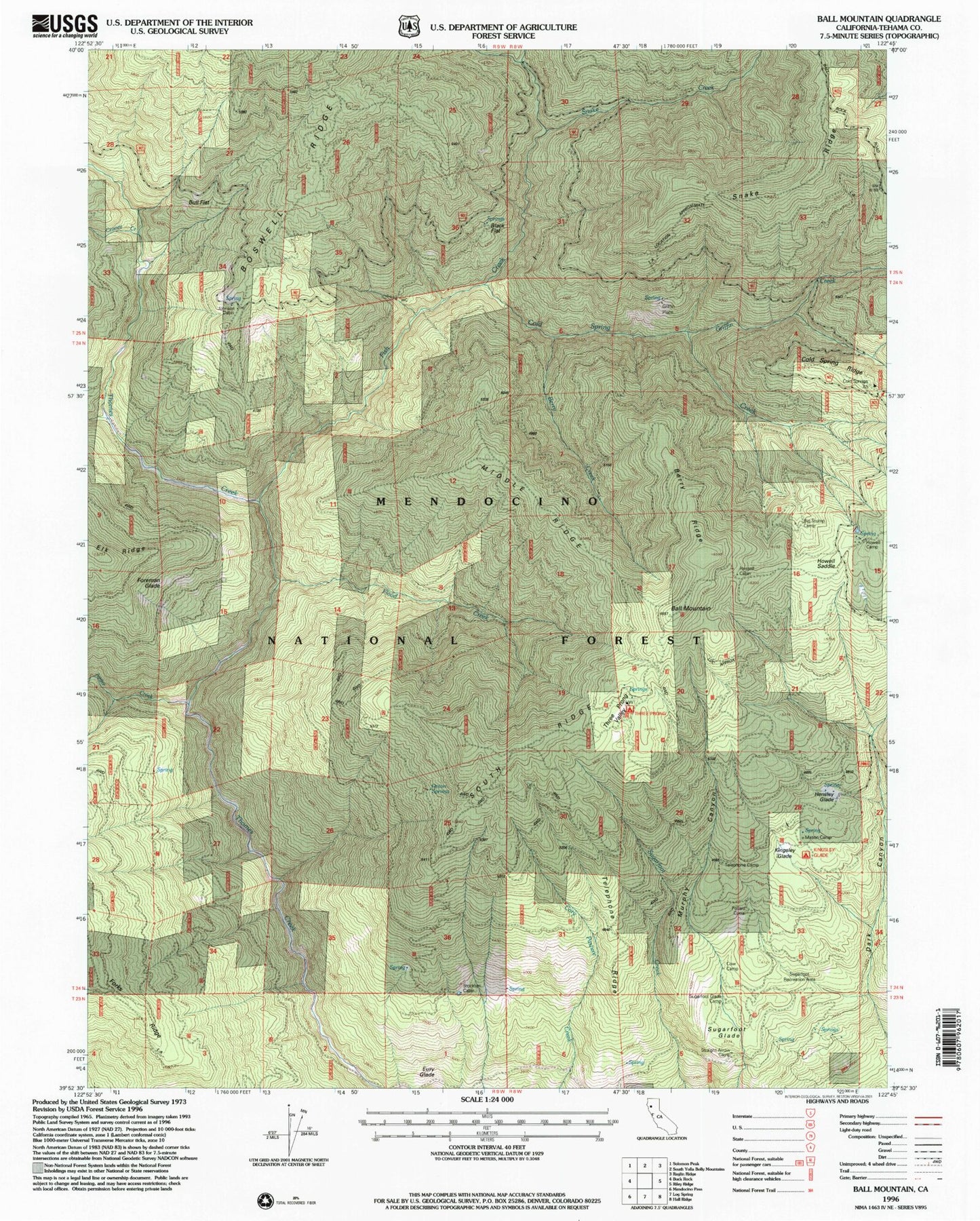
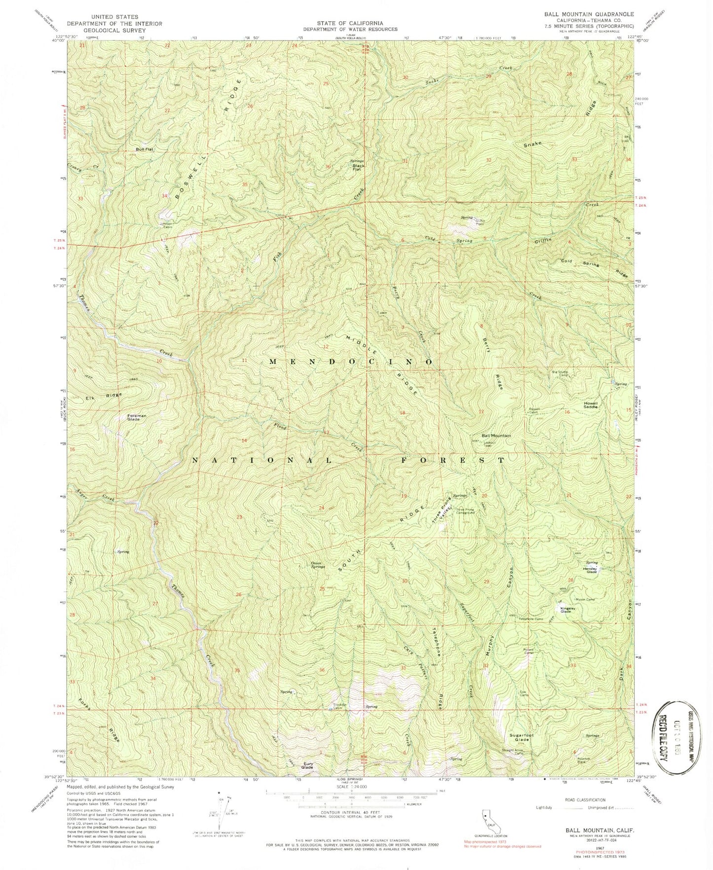
Classic USGS Ball Mountain California 7.5'x7.5' Topo Map
Couldn't load pickup availability
Historical USGS topographic quad map of Ball Mountain in the state of California. Map scale is 1:24000. Print size is approximately 24" x 27"
This quadrangle is in the following counties: Tehama.
The map contains contour lines, roads, rivers, towns, and lakes. Printed on high-quality waterproof paper with UV fade-resistant inks, and shipped rolled.
Contains the following named places: Auger Creek, Ball Mountain, Berry Creek, Berry Ridge, Big Stump Camp, Black Flat, Bull Flat, Cold Spring Creek, Cold Spring Ridge, Cold Springs Forest Service Facility, Croney Creek, Eury Glade, Fish Creek, Flood Creek, Foreman Glade, Griffin Creek, Griffin Place, Hensley Glade, Howell Camp, Howell Gap, Johnson Cabin, Kingsley Glade, Mason Camp, Maxim Cabin (historical), McClure Creek, Middle Ridge, Onion Springs, Peterson Place, Pollard Corral, Russell Cabin, Snake Creek, Snake Ridge, South Ridge, Stockton Cabin, Straight Arrow Camp, Sugarfoot Glade, Sugarfoot Recreation Site, Telephone Camp, Telephone Ridge, Three Prong Campground, Three Prong Valley